STS058-88-47
| NASA Photo ID | STS058-88-47 |
| Focal Length | 250mm |
| Date taken | 1993.10.22 |
| Time taken | 16:42:31 GMT |
Resolutions offered for this image:
3863 x 3894 pixels 634 x 639 pixels 5700 x 5900 pixels 500 x 518 pixels 640 x 480 pixels
3863 x 3894 pixels 634 x 639 pixels 5700 x 5900 pixels 500 x 518 pixels 640 x 480 pixels
Cloud masks available for this image:
Spacecraft nadir point: 39.0° N, 95.6° W
Photo center point: 38.5° N, 96.0° W
Photo center point by machine learning:
Photo center point: 38.5° N, 96.0° W
Photo center point by machine learning:
Nadir to Photo Center: Southwest
Spacecraft Altitude: 155 nautical miles (287km)
Country or Geographic Name: | USA-KANSAS |
Features: | EMPORIA AREA |
| Features Found Using Machine Learning: | |
Cloud Cover Percentage: | 0 (no clouds present) |
Sun Elevation Angle: | 36° |
Sun Azimuth: | 154° |
Camera: | Hasselblad |
Focal Length: | 250mm |
Camera Tilt: | 14 degrees |
Format: | 5017: Kodak, natural color positive, Ektachrome, X Professional, ASA 64, standard base |
Film Exposure: | Normal |
| Additional Information | |
| Width | Height | Annotated | Cropped | Purpose | Links |
|---|---|---|---|---|---|
| 3863 pixels | 3894 pixels | No | No | Earth From Space collection | Download Image |
| 634 pixels | 639 pixels | No | No | Earth From Space collection | Download Image |
| 5700 pixels | 5900 pixels | No | No | Download Image | |
| 500 pixels | 518 pixels | No | No | Download Image | |
| 640 pixels | 480 pixels | No | No | Download Image |
Download Packaged File
Download a Google Earth KML for this Image
View photo footprint information
Download a GeoTIFF for this photo
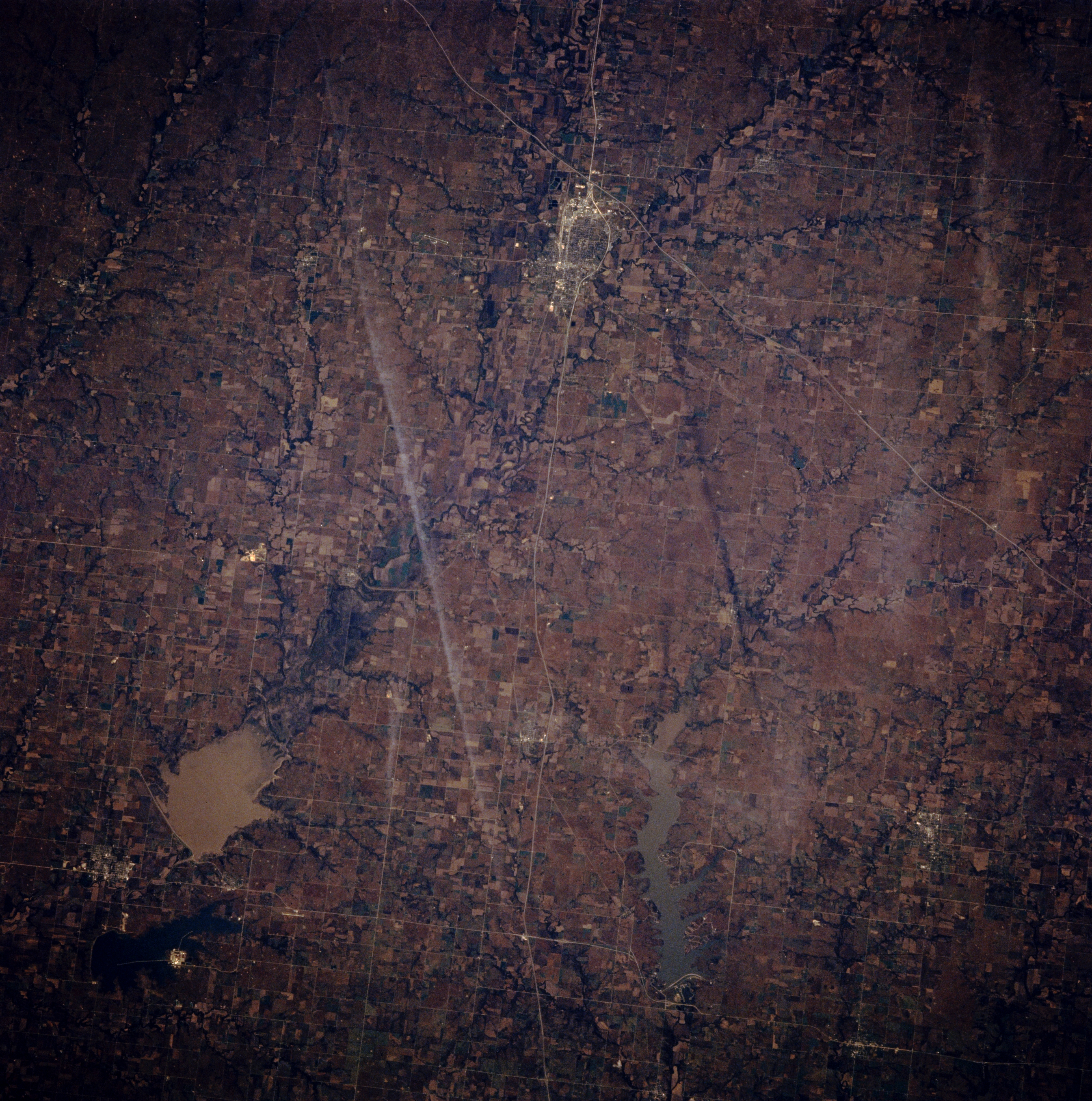
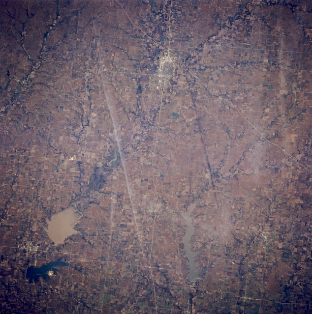
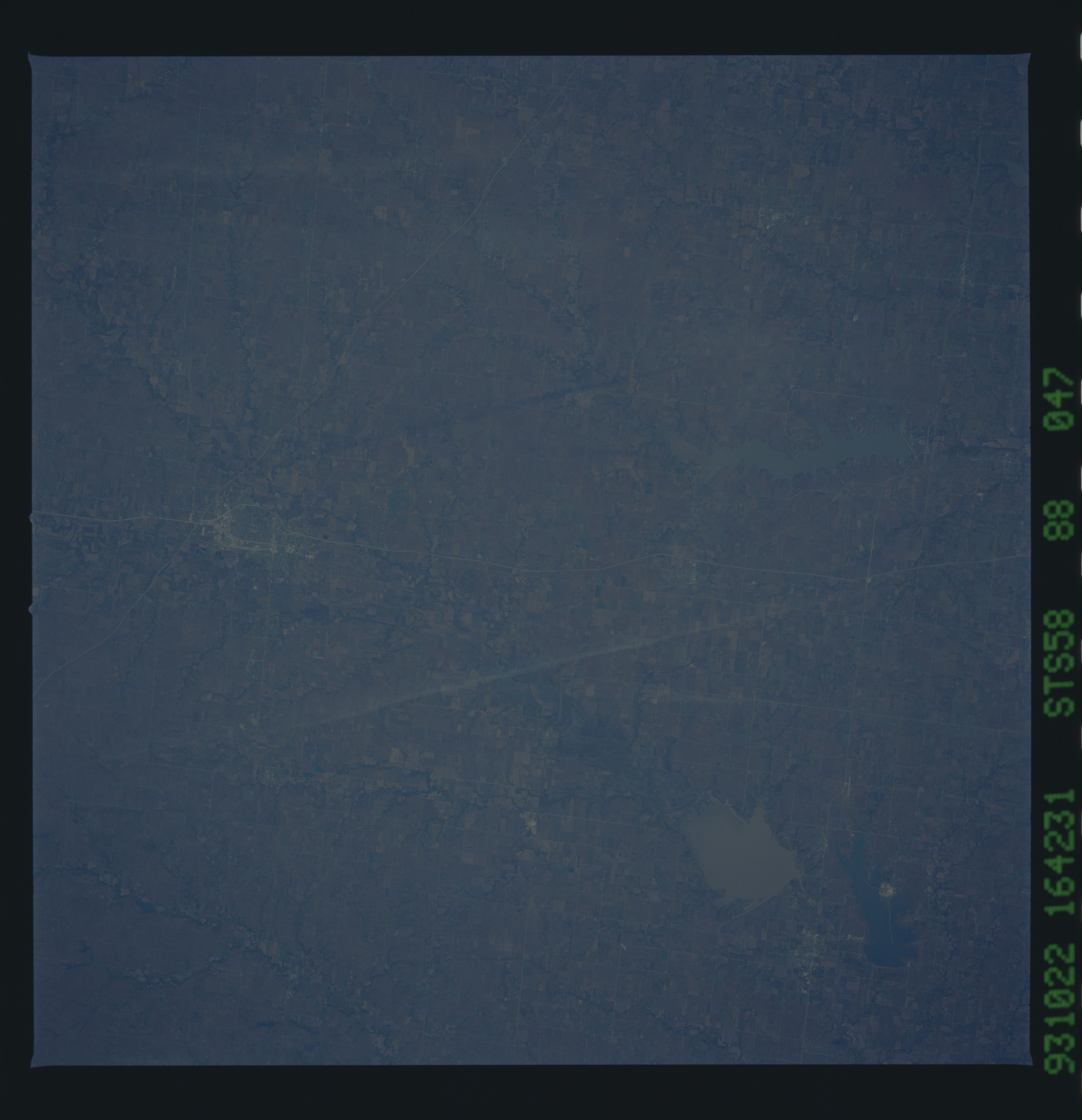
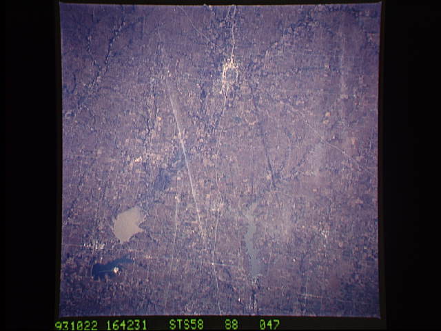
Image Caption: STS058-088-047 Emporia and John Redmond Reservoir, Kansas, U.S.A. October 1993
Emporia and silt-laden John Redmond Reservoir (lower left), part of which is included in the Flint Hills National Wildlife Refuge, are visible in this west-looking, low-oblique photograph. Located in the Flint Hills between the Neosho and Cottonwood Rivers, Emporia is a commercial and shipping center for the surrounding cattle and farm region. The city has grain elevators; stockyards; industries processing beef and soybeans; and plants producing printing equipment, baked goods, cheese, and steel tanks. Emporia is the home of William Allen White who made the Emporia Gazette a nationally known newspaper. Northeast-southwest-oriented Interstate Highway 35 cuts through the western edge of the city.
Emporia and silt-laden John Redmond Reservoir (lower left), part of which is included in the Flint Hills National Wildlife Refuge, are visible in this west-looking, low-oblique photograph. Located in the Flint Hills between the Neosho and Cottonwood Rivers, Emporia is a commercial and shipping center for the surrounding cattle and farm region. The city has grain elevators; stockyards; industries processing beef and soybeans; and plants producing printing equipment, baked goods, cheese, and steel tanks. Emporia is the home of William Allen White who made the Emporia Gazette a nationally known newspaper. Northeast-southwest-oriented Interstate Highway 35 cuts through the western edge of the city.
