STS058-85-83
| NASA Photo ID | STS058-85-83 |
| Focal Length | 100mm |
| Date taken | 1993.__.__ |
| Time taken | GMT |
Resolutions offered for this image:
3904 x 3904 pixels 639 x 639 pixels 5700 x 5900 pixels 500 x 518 pixels 640 x 480 pixels
3904 x 3904 pixels 639 x 639 pixels 5700 x 5900 pixels 500 x 518 pixels 640 x 480 pixels

Cloud masks available for this image:
Spacecraft nadir point:
Photo center point: 43.5° N, 115.5° W
Photo center point by machine learning:
Photo center point: 43.5° N, 115.5° W
Photo center point by machine learning:
Nadir to Photo Center:
Spacecraft Altitude: nautical miles (0km)
Country or Geographic Name: | USA-IDAHO |
Features: | SNAKE RIVER, MOUNTAINS |
| Features Found Using Machine Learning: | |
Cloud Cover Percentage: | 0 (no clouds present) |
Sun Elevation Angle: | ° |
Sun Azimuth: | ° |
Camera: | Hasselblad |
Focal Length: | 100mm |
Camera Tilt: | Low Oblique |
Format: | 5017: Kodak, natural color positive, Ektachrome, X Professional, ASA 64, standard base |
Film Exposure: | Normal |
| Additional Information | |
| Width | Height | Annotated | Cropped | Purpose | Links |
|---|---|---|---|---|---|
| 3904 pixels | 3904 pixels | No | No | Earth From Space collection | Download Image |
| 639 pixels | 639 pixels | No | No | Earth From Space collection | Download Image |
| 5700 pixels | 5900 pixels | No | No | Download Image | |
| 500 pixels | 518 pixels | No | No | Download Image | |
| 640 pixels | 480 pixels | No | No | Download Image |
Download Packaged File
Download a Google Earth KML for this Image
View photo footprint information
Download a GeoTIFF for this photo
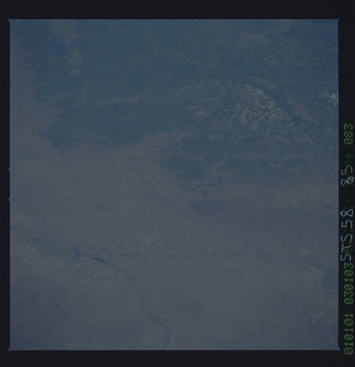
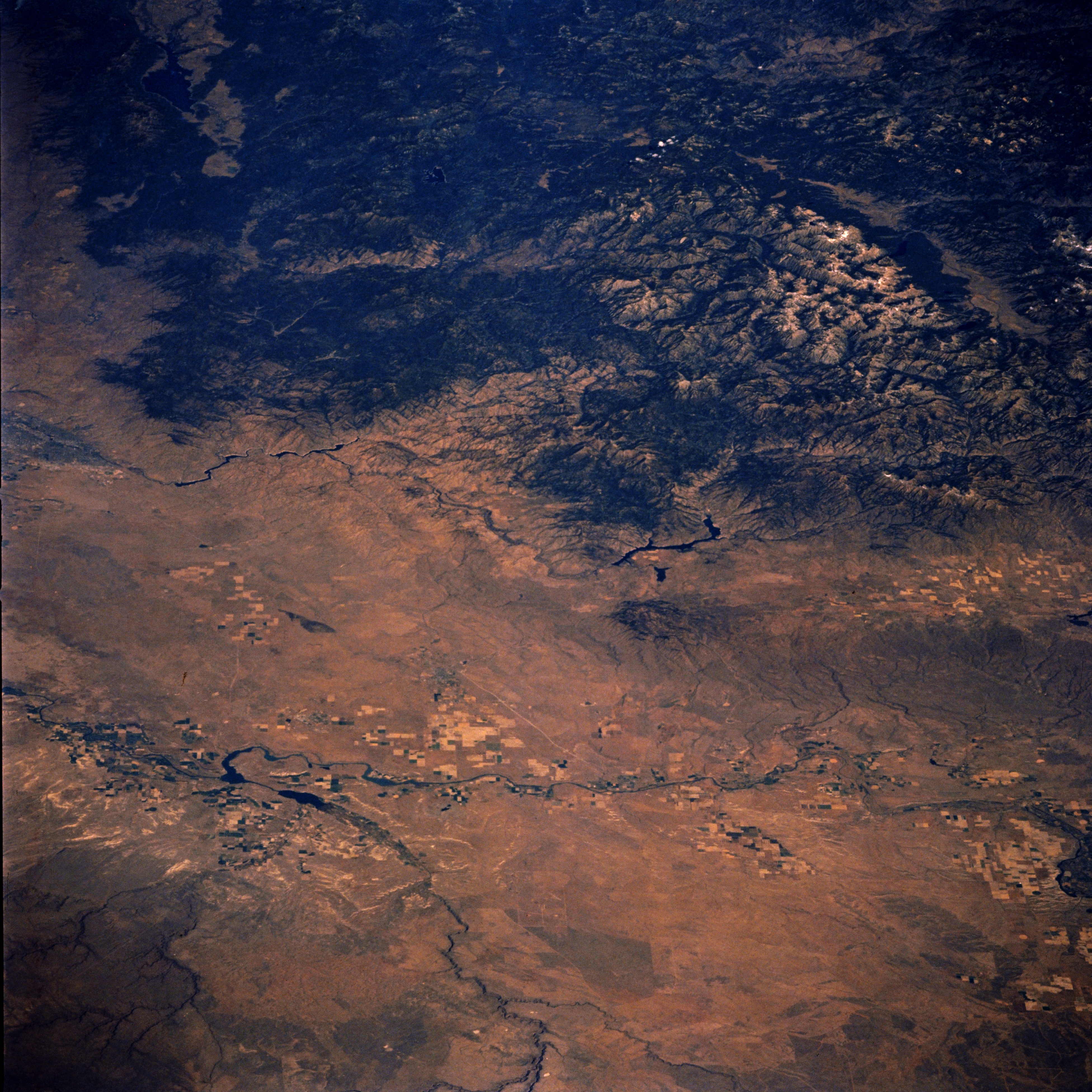
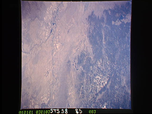
Image Caption: STS058-085-083 Snake River Valley, Idaho, U.S.A. October 1993
The Snake River Valley and the southwestern Salmon River Mountains are featured in this north-northeast-looking, low-oblique photograph. The Snake River Valley, a vast lava plateau built up by repeated outpourings of volcanic rock nearly 20 million years ago, contains high plains, immense fields of volcanic rubble, deep gorges, and fertile volcanic soil that produces abundant potato crops. Much of the westward-flowing Snake River and its tributaries that are used for irrigation and the south-southeast path of the Bruneau River are apparent in the bottom half of the photograph. Visible near the center of the photograph are the Anderson Ranch Reservoir; to its left appear Lucky Peak Reservoir and the barely discernible city of Boise. The large Cascade Reservoir is visible near the upper left of the photograph.
The Snake River Valley and the southwestern Salmon River Mountains are featured in this north-northeast-looking, low-oblique photograph. The Snake River Valley, a vast lava plateau built up by repeated outpourings of volcanic rock nearly 20 million years ago, contains high plains, immense fields of volcanic rubble, deep gorges, and fertile volcanic soil that produces abundant potato crops. Much of the westward-flowing Snake River and its tributaries that are used for irrigation and the south-southeast path of the Bruneau River are apparent in the bottom half of the photograph. Visible near the center of the photograph are the Anderson Ranch Reservoir; to its left appear Lucky Peak Reservoir and the barely discernible city of Boise. The large Cascade Reservoir is visible near the upper left of the photograph.
