STS058-83-31

| NASA Photo ID | STS058-83-31 |
| Focal Length | 250mm |
| Date taken | 1993.10.20 |
| Time taken | 21:18:07 GMT |
Resolutions offered for this image:
3904 x 3776 pixels 639 x 619 pixels 5700 x 5900 pixels 500 x 518 pixels 640 x 480 pixels
3904 x 3776 pixels 639 x 619 pixels 5700 x 5900 pixels 500 x 518 pixels 640 x 480 pixels
Cloud masks available for this image:
Spacecraft nadir point: 34.8° N, 113.5° W
Photo center point: 36.0° N, 116.5° W
Photo center point by machine learning:
Photo center point: 36.0° N, 116.5° W
Photo center point by machine learning:
Nadir to Photo Center: West
Spacecraft Altitude: 156 nautical miles (289km)
Country or Geographic Name: | USA-CALIFORNIA |
Features: | EAST OF DEATH V., PART. FRM. |
| Features Found Using Machine Learning: | |
Cloud Cover Percentage: | 0 (no clouds present) |
Sun Elevation Angle: | 37° |
Sun Azimuth: | 218° |
Camera: | Hasselblad |
Focal Length: | 250mm |
Camera Tilt: | 51 degrees |
Format: | 5017: Kodak, natural color positive, Ektachrome, X Professional, ASA 64, standard base |
Film Exposure: | Normal |
| Additional Information | |
| Width | Height | Annotated | Cropped | Purpose | Links |
|---|---|---|---|---|---|
| 3904 pixels | 3776 pixels | No | No | Earth From Space collection | Download Image |
| 639 pixels | 619 pixels | No | No | Earth From Space collection | Download Image |
| 5700 pixels | 5900 pixels | No | No | Download Image | |
| 500 pixels | 518 pixels | No | No | Download Image | |
| 640 pixels | 480 pixels | No | No | Download Image |
Download Packaged File
Download a Google Earth KML for this Image
View photo footprint information
Download a GeoTIFF for this photo
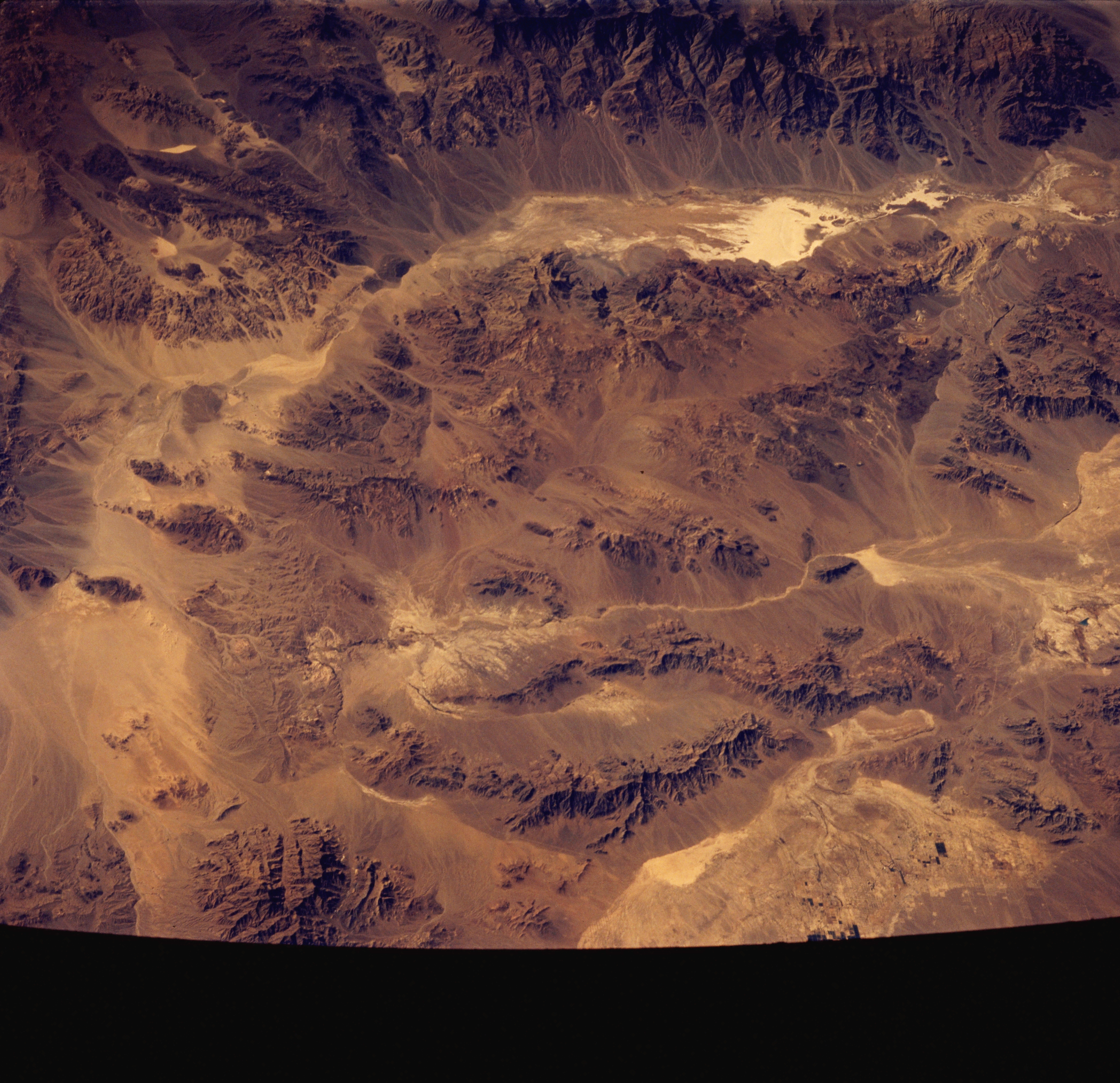
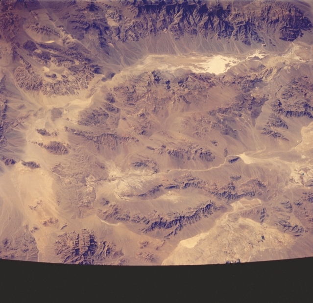
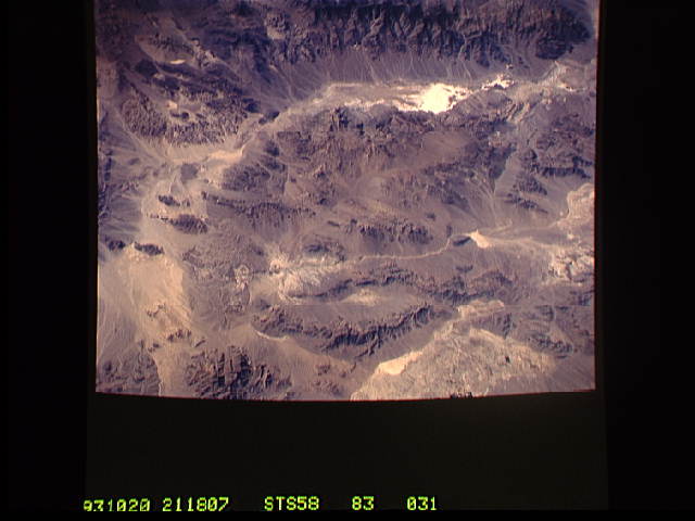
Image Caption: STS058-083-031 Death Valley, California, U.S.A. October 1993
Death Valley, the lowest land elevation in the United States at 282 feet (86 meters) below sea level, is the elongated graben near the bottom of the picture. The actual location of the lowest spot is the highly reflective, white area in the northern end of the playa. The eastern slopes of the Panamint Range flank the western side of the valley. To the east, the Amargosa River and its valley are aligned in a north-south orientation. Extensive talus cones are apparent as subtle color changes surrounding the base of hills and mountains.
Death Valley, the lowest land elevation in the United States at 282 feet (86 meters) below sea level, is the elongated graben near the bottom of the picture. The actual location of the lowest spot is the highly reflective, white area in the northern end of the playa. The eastern slopes of the Panamint Range flank the western side of the valley. To the east, the Amargosa River and its valley are aligned in a north-south orientation. Extensive talus cones are apparent as subtle color changes surrounding the base of hills and mountains.
