STS058-82-52

| NASA Photo ID | STS058-82-52 |
| Focal Length | 100mm |
| Date taken | 1993.10.30 |
| Time taken | 16:32:20 GMT |
Resolutions offered for this image:
3904 x 3872 pixels 639 x 634 pixels 5700 x 5900 pixels 500 x 518 pixels 640 x 480 pixels
3904 x 3872 pixels 639 x 634 pixels 5700 x 5900 pixels 500 x 518 pixels 640 x 480 pixels
Cloud masks available for this image:
Spacecraft nadir point: 35.7° N, 120.6° W
Photo center point: 38.5° N, 119.5° W
Photo center point by machine learning:
Photo center point: 38.5° N, 119.5° W
Photo center point by machine learning:
Nadir to Photo Center: North
Spacecraft Altitude: 143 nautical miles (265km)
Country or Geographic Name: | USA-CALIFORNIA |
Features: | SIERRA NEVADA MOUNTAINS |
| Features Found Using Machine Learning: | |
Cloud Cover Percentage: | 0 (no clouds present) |
Sun Elevation Angle: | 23° |
Sun Azimuth: | 128° |
Camera: | Hasselblad |
Focal Length: | 100mm |
Camera Tilt: | 52 degrees |
Format: | 5017: Kodak, natural color positive, Ektachrome, X Professional, ASA 64, standard base |
Film Exposure: | Normal |
| Additional Information | |
| Width | Height | Annotated | Cropped | Purpose | Links |
|---|---|---|---|---|---|
| 3904 pixels | 3872 pixels | No | No | Earth From Space collection | Download Image |
| 639 pixels | 634 pixels | No | No | Earth From Space collection | Download Image |
| 5700 pixels | 5900 pixels | No | No | Download Image | |
| 500 pixels | 518 pixels | No | No | Download Image | |
| 640 pixels | 480 pixels | No | No | Download Image |
Download Packaged File
Download a Google Earth KML for this Image
View photo footprint information
Download a GeoTIFF for this photo
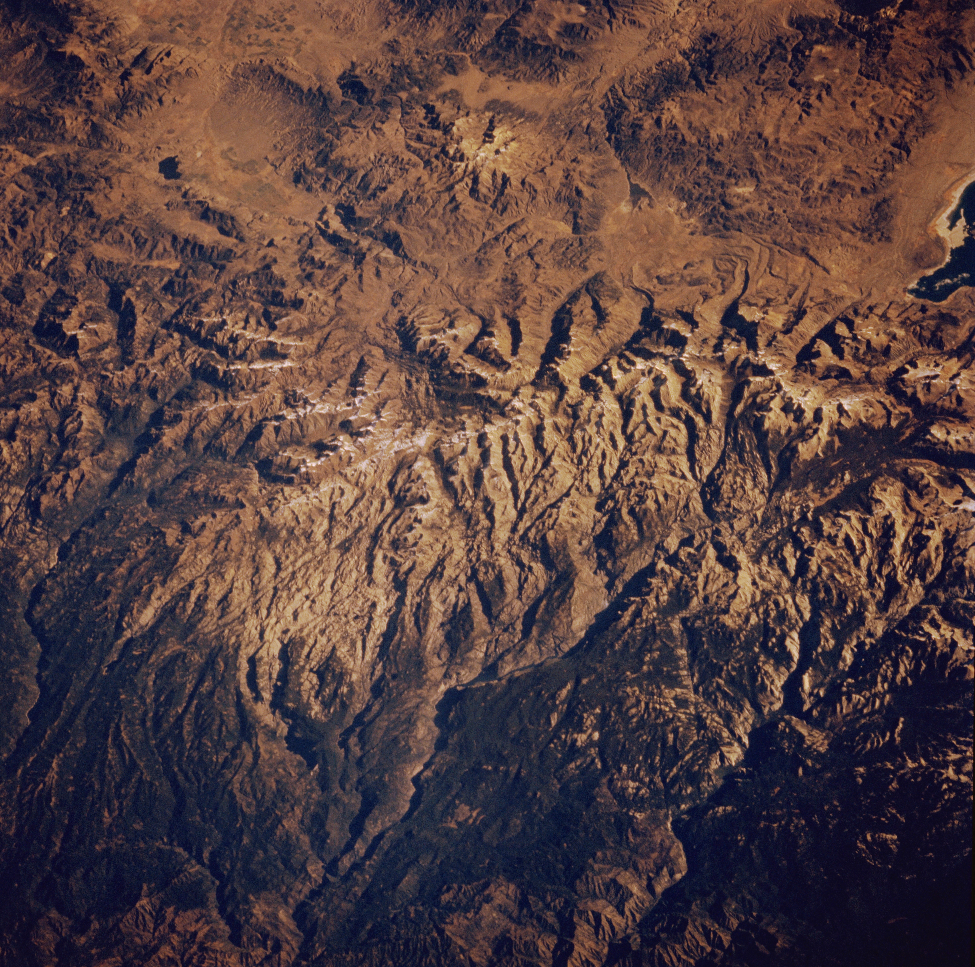
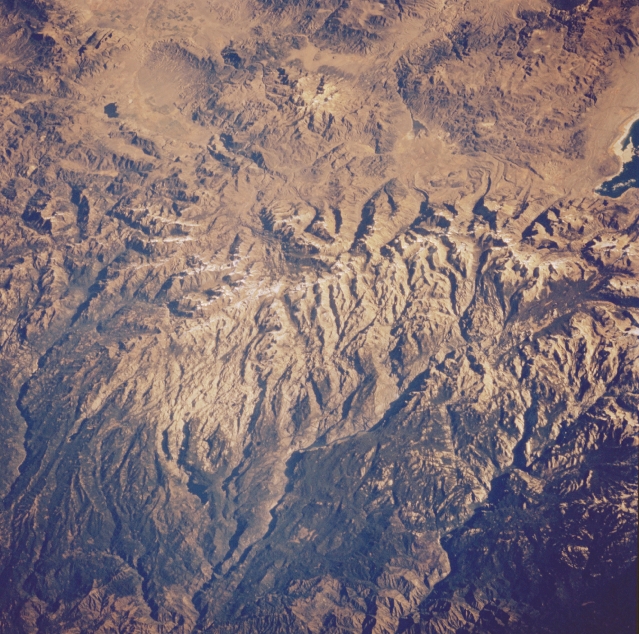
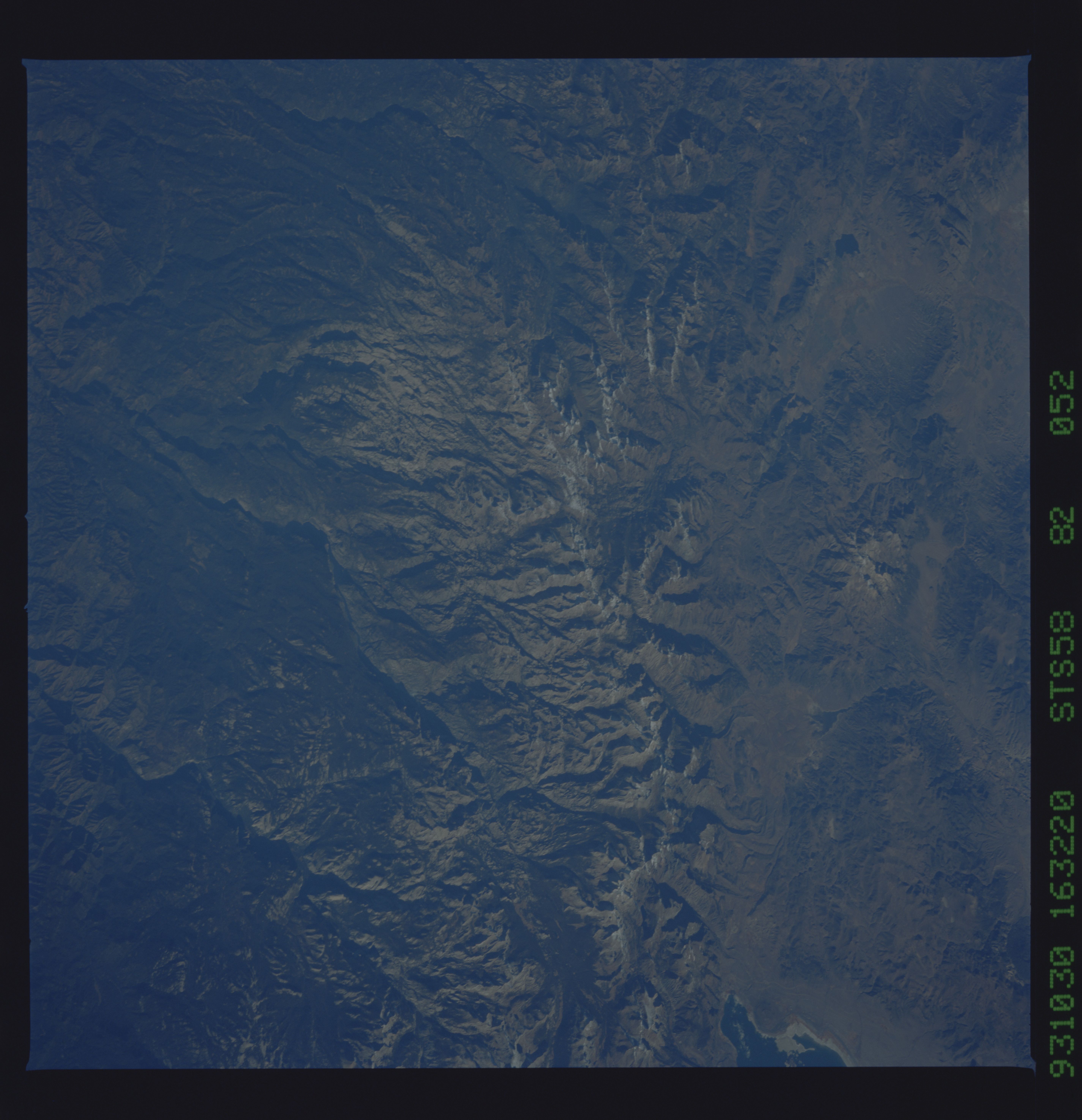
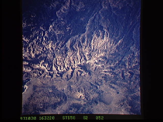
Image Caption: STS058-082-052 Sierra Nevada Mountains and Yosemite National Park, California, U.S.A. October 1993
The snow-covered Sierra Nevada Mountains in Yosemite National Park are apparent in this low-oblique, north-northeast-looking photograph. Glacier-scoured Yosemite National Park, site of the world's three largest monoliths of exposed granite, also contains many lakes, rivers, streams, and waterfalls. Hetch Hetchy Reservoir, which supplies water to the San Francisco area, is located in the Hetch Hetchy Valley, evident from the bottom center to the near center of the photograph. Topaz Lake, near the upper left, and Bridgeport Lake, between the upper center and upper right, are visible in the photograph.
The snow-covered Sierra Nevada Mountains in Yosemite National Park are apparent in this low-oblique, north-northeast-looking photograph. Glacier-scoured Yosemite National Park, site of the world's three largest monoliths of exposed granite, also contains many lakes, rivers, streams, and waterfalls. Hetch Hetchy Reservoir, which supplies water to the San Francisco area, is located in the Hetch Hetchy Valley, evident from the bottom center to the near center of the photograph. Topaz Lake, near the upper left, and Bridgeport Lake, between the upper center and upper right, are visible in the photograph.
