STS058-73-24
| NASA Photo ID | STS058-73-24 |
| Focal Length | 250mm |
| Date taken | 1993.10.19 |
| Time taken | 12:12:20 GMT |
Cloud masks available for this image:
Spacecraft nadir point: 38.4° N, 15.2° E
Photo center point: 41.0° N, 14.0° E
Photo center point by machine learning:
Photo center point: 41.0° N, 14.0° E
Photo center point by machine learning:
Nadir to Photo Center: North
Spacecraft Altitude: 157 nautical miles (291km)
Country or Geographic Name: | ITALY |
Features: | MT. VESUVIUS, NAPOLI AREA |
| Features Found Using Machine Learning: | |
Cloud Cover Percentage: | 0 (no clouds present) |
Sun Elevation Angle: | 37° |
Sun Azimuth: | 208° |
Camera: | Hasselblad |
Focal Length: | 250mm |
Camera Tilt: | 48 degrees |
Format: | 5017: Kodak, natural color positive, Ektachrome, X Professional, ASA 64, standard base |
Film Exposure: | Normal |
| Additional Information | |
| Width | Height | Annotated | Cropped | Purpose | Links |
|---|---|---|---|---|---|
| 5700 pixels | 5900 pixels | No | No | Download Image | |
| 500 pixels | 518 pixels | No | No | Download Image | |
| 640 pixels | 480 pixels | No | No | Download Image |
Download Packaged File
Download a Google Earth KML for this Image
View photo footprint information
Download a GeoTIFF for this photo
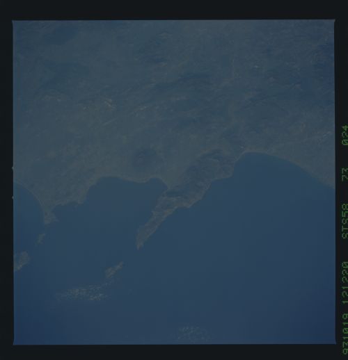
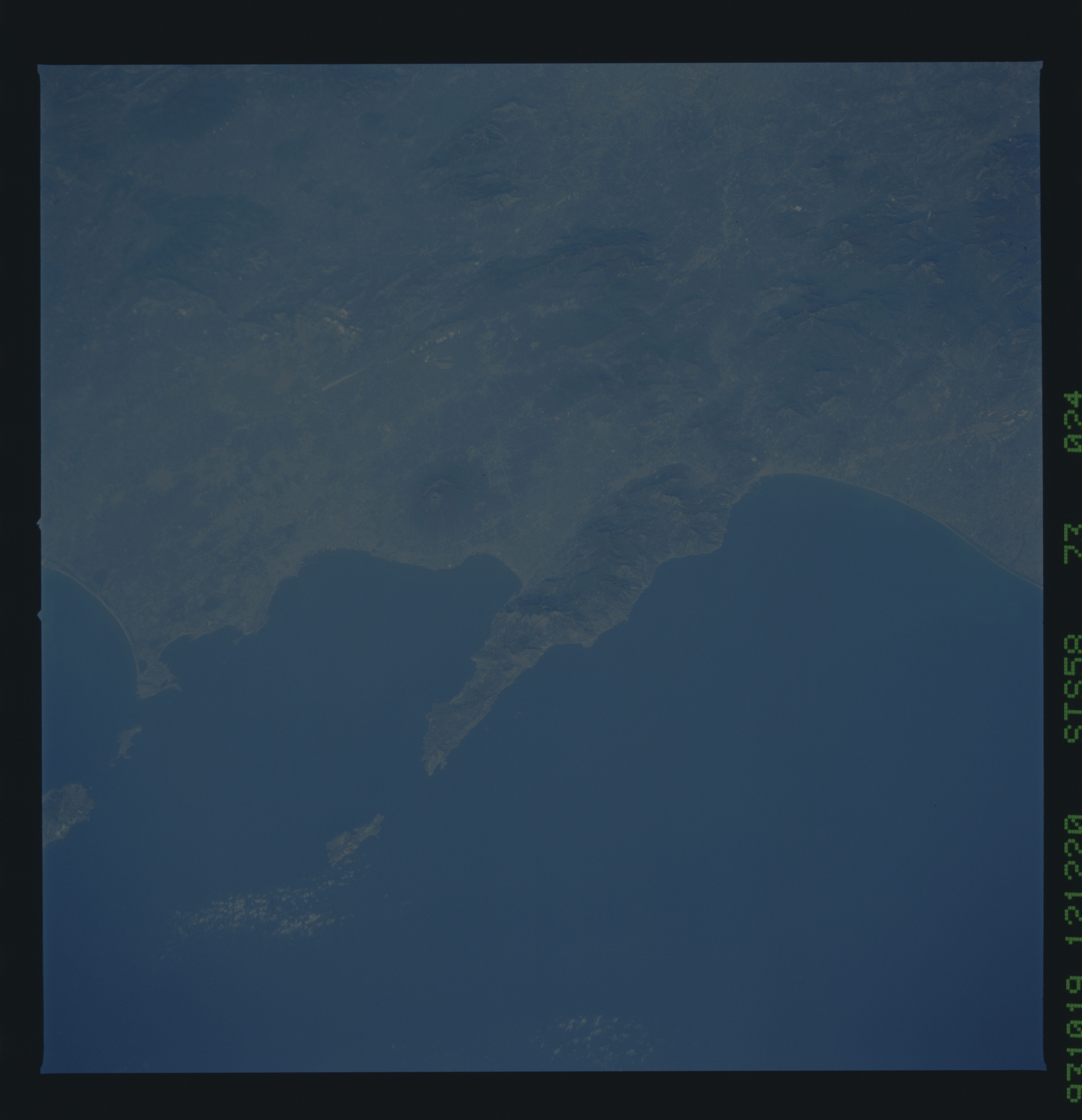
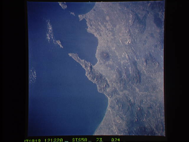
Image Caption: Mt. Vesuvius & Naples
The ancient eruption of Vesuvius (the volcanoe near the center of the frame) destroyed the town of Pompeii located on the southeast flank. But the larger town of Naples, between Vesuvius (to the south) and the large, circular, lake-filled caldera of Campi Flegrei (to the west) is also close to volcanic hazards. In this view, Naples is the gray urban area with substantial coastal development just northwest of Vesuvius. Other landmarks marking the Italian coast include the small island of Capri, just off the west-pointing peninsula, and the city of Salerno on the coast just south of the same peninsula.
The ancient eruption of Vesuvius (the volcanoe near the center of the frame) destroyed the town of Pompeii located on the southeast flank. But the larger town of Naples, between Vesuvius (to the south) and the large, circular, lake-filled caldera of Campi Flegrei (to the west) is also close to volcanic hazards. In this view, Naples is the gray urban area with substantial coastal development just northwest of Vesuvius. Other landmarks marking the Italian coast include the small island of Capri, just off the west-pointing peninsula, and the city of Salerno on the coast just south of the same peninsula.
