STS058-100-73
| NASA Photo ID | STS058-100-73 |
| Focal Length | 250mm |
| Date taken | 1993.10.28 |
| Time taken | 15:10:38 GMT |
Cloud masks available for this image:
Spacecraft nadir point: 33.6° N, 77.1° W
Photo center point:
Photo center point by machine learning:
Photo center point:
Photo center point by machine learning:
Nadir to Photo Center:
Spacecraft Altitude: 142 nautical miles (263km)
Country or Geographic Name: | USA |
Features: | RESERVOIRS, AGRICULTURE |
| Features Found Using Machine Learning: | |
Cloud Cover Percentage: | 5 (1-10)% |
Sun Elevation Angle: | 37° |
Sun Azimuth: | 148° |
Camera: | Hasselblad |
Focal Length: | 250mm |
Camera Tilt: | Low Oblique |
Format: | 5017: Kodak, natural color positive, Ektachrome, X Professional, ASA 64, standard base |
Film Exposure: | Normal |
| Additional Information | |
| Width | Height | Annotated | Cropped | Purpose | Links |
|---|---|---|---|---|---|
| 5700 pixels | 5900 pixels | No | No | Download Image | |
| 500 pixels | 518 pixels | No | No | Download Image | |
| 640 pixels | 480 pixels | No | No | Download Image |
Download Packaged File
Download a Google Earth KML for this Image
View photo footprint information
Download a GeoTIFF for this photo
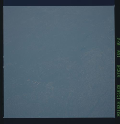
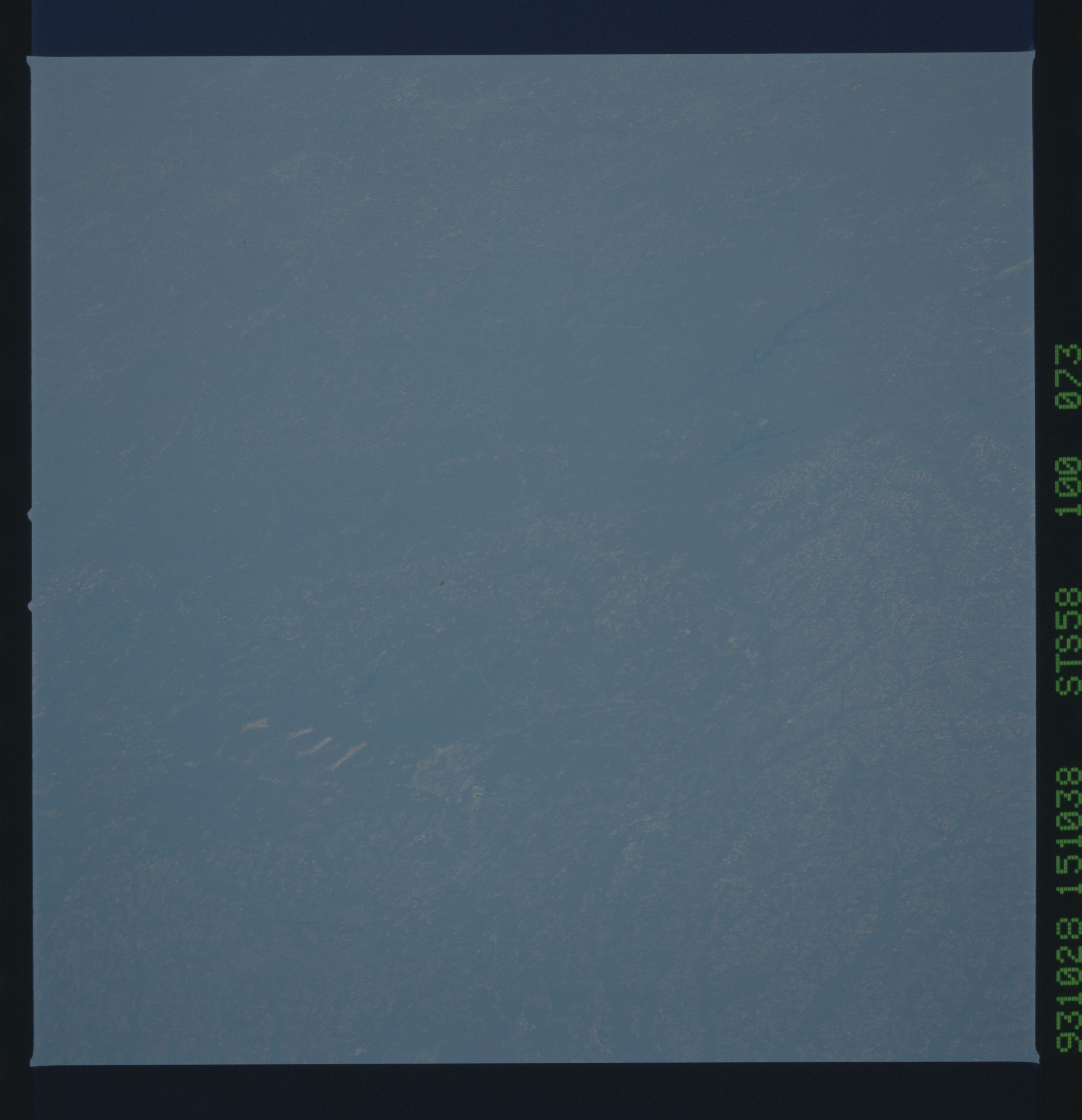
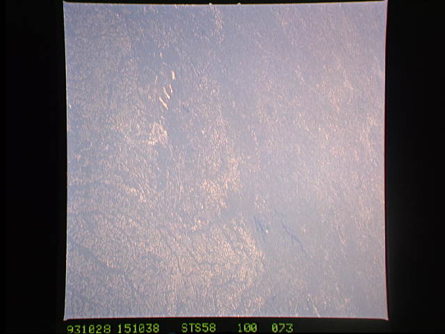
Image Caption: North Carolina
An unusually clear, northwestward view of central North Carolina show the farms and timber of the inner coastal plain. The city of Fayettville, and Fort Bragg to the west, is prominent at lower left center. The Research Triangle of Raleigh, Durham and Chapel Hill can be seen at upper right, upstream from Jordan Lake and Harris Lake on the New Hope River.
An unusually clear, northwestward view of central North Carolina show the farms and timber of the inner coastal plain. The city of Fayettville, and Fort Bragg to the west, is prominent at lower left center. The Research Triangle of Raleigh, Durham and Chapel Hill can be seen at upper right, upstream from Jordan Lake and Harris Lake on the New Hope River.
