STS056-98-26
| NASA Photo ID | STS056-98-26 |
| Focal Length | 100mm |
| Date taken | 1993.04.14 |
| Time taken | 16:05:15 GMT |
Resolutions offered for this image:
5276 x 5223 pixels 640 x 633 pixels 5700 x 6000 pixels 500 x 526 pixels 640 x 480 pixels
5276 x 5223 pixels 640 x 633 pixels 5700 x 6000 pixels 500 x 526 pixels 640 x 480 pixels

Cloud masks available for this image:
Spacecraft nadir point: 47.3° S, 70.5° W
Photo center point: 50.5° S, 71.5° W
Photo center point by machine learning:
Photo center point: 50.5° S, 71.5° W
Photo center point by machine learning:
Nadir to Photo Center: South
Spacecraft Altitude: 167 nautical miles (309km)
Country or Geographic Name: | ARGENTINA |
Features: | LAKE VIEDMA, L. ARGENTINO |
| Features Found Using Machine Learning: | |
Cloud Cover Percentage: | 10 (1-10)% |
Sun Elevation Angle: | 33° |
Sun Azimuth: | 11° |
Camera: | Hasselblad |
Focal Length: | 100mm |
Camera Tilt: | 50 degrees |
Format: | 5017: Kodak, natural color positive, Ektachrome, X Professional, ASA 64, standard base |
Film Exposure: | Normal |
| Additional Information | |
| Width | Height | Annotated | Cropped | Purpose | Links |
|---|---|---|---|---|---|
| 5276 pixels | 5223 pixels | No | No | Earth From Space collection | Download Image |
| 640 pixels | 633 pixels | No | No | Earth From Space collection | Download Image |
| 5700 pixels | 6000 pixels | No | No | Download Image | |
| 500 pixels | 526 pixels | No | No | Download Image | |
| 640 pixels | 480 pixels | No | No | Download Image |
Download Packaged File
Download a Google Earth KML for this Image
View photo footprint information
Download a GeoTIFF for this photo
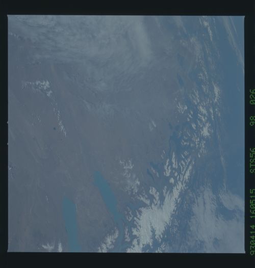
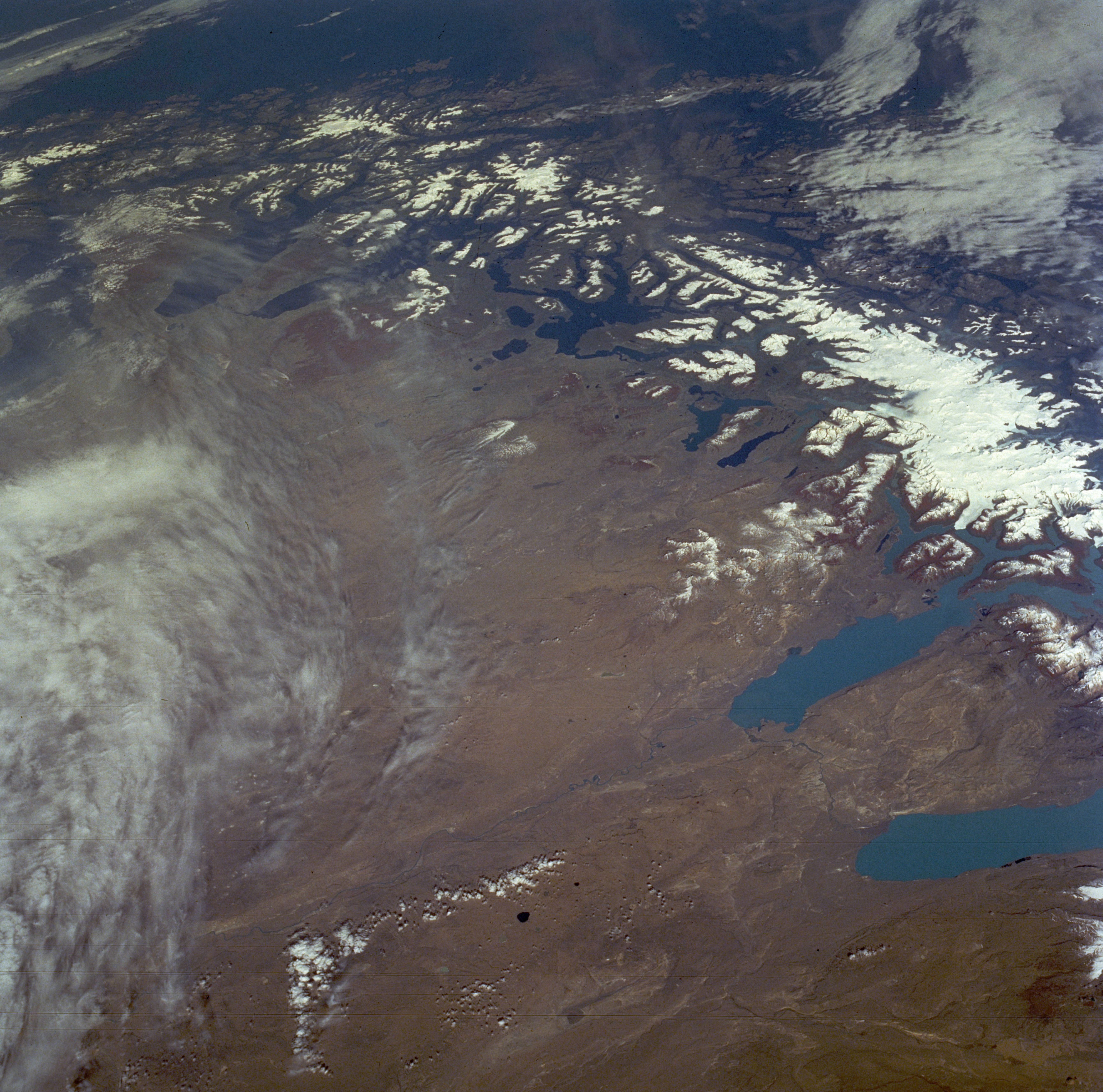
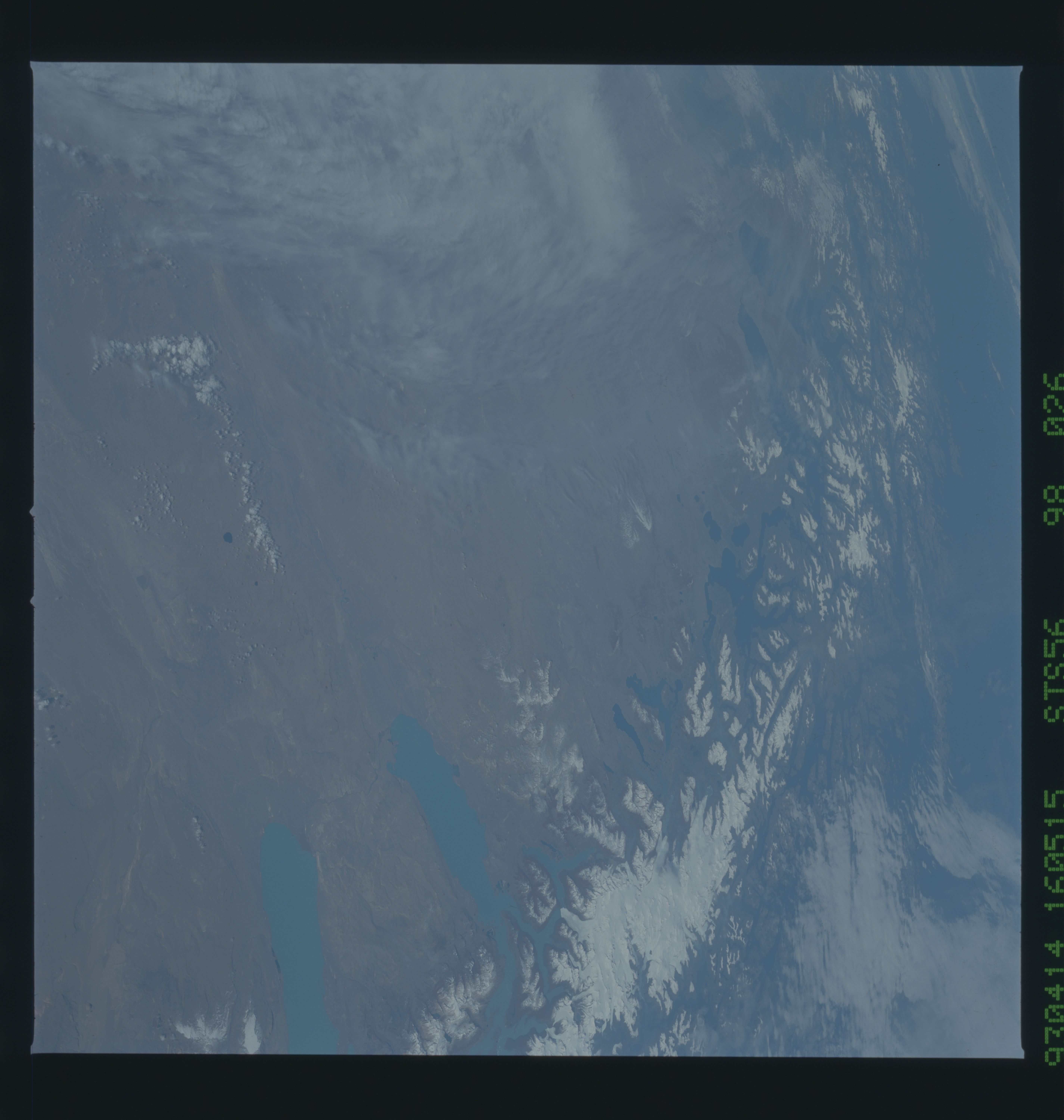
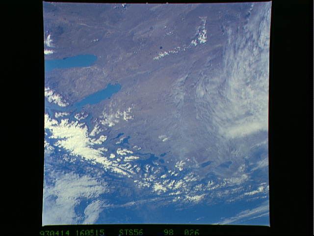
Image Caption: STS056-098-026 Southern Andes Mountains, Argentina and Chile April 1993
The Andes Mountains terminate at the southern end of Chile and Argentina in a jumble of islands and fjords. This low-oblique, south-looking photograph shows the fragmented landscape as the South American continent gradually ends in Tierra del Fuego. Part of the Strait of Magellan is barely visible near the horizon. Numerous glacier lakes can be seen on either side of the north-south axis of the ice- and snow-covered Andes Mountains. The mountains gradually decrease in elevation, from approximately 10 000 feet (3048 meters) in this photograph to 4000 feet (1220 meters) and less above sea level near the horizon. Lake Viedma (northernmost) and Lake Argentino--the two larger light blue lakes at the northern end of the photograph--constantly receive meltwater from the western glaciers. The brownish-tan terrain east of the Andes Mountains is a plateau where the constantly blowing west wind, coupled with very limited precipitation, produces a harsh, barren, almost nonvegetated landscape in this Argentine region of Patagonia.
The Andes Mountains terminate at the southern end of Chile and Argentina in a jumble of islands and fjords. This low-oblique, south-looking photograph shows the fragmented landscape as the South American continent gradually ends in Tierra del Fuego. Part of the Strait of Magellan is barely visible near the horizon. Numerous glacier lakes can be seen on either side of the north-south axis of the ice- and snow-covered Andes Mountains. The mountains gradually decrease in elevation, from approximately 10 000 feet (3048 meters) in this photograph to 4000 feet (1220 meters) and less above sea level near the horizon. Lake Viedma (northernmost) and Lake Argentino--the two larger light blue lakes at the northern end of the photograph--constantly receive meltwater from the western glaciers. The brownish-tan terrain east of the Andes Mountains is a plateau where the constantly blowing west wind, coupled with very limited precipitation, produces a harsh, barren, almost nonvegetated landscape in this Argentine region of Patagonia.
