STS056-80-9

| NASA Photo ID | STS056-80-9 |
| Focal Length | 250mm |
| Date taken | 1993.04.10 |
| Time taken | 10:39:05 GMT |
Resolutions offered for this image:
3874 x 3862 pixels 640 x 638 pixels 5700 x 6000 pixels 500 x 526 pixels 640 x 480 pixels
3874 x 3862 pixels 640 x 638 pixels 5700 x 6000 pixels 500 x 526 pixels 640 x 480 pixels
Cloud masks available for this image:
Spacecraft nadir point: 46.6° N, 52.8° W
Photo center point: 47.0° N, 53.0° W
Photo center point by machine learning:
Photo center point: 47.0° N, 53.0° W
Photo center point by machine learning:
Nadir to Photo Center: North
Spacecraft Altitude: 164 nautical miles (304km)
Country or Geographic Name: | CANADA-N |
Features: | AVALON PEN., ICE FLOWS |
| Features Found Using Machine Learning: | |
Cloud Cover Percentage: | 30 (26-50)% |
Sun Elevation Angle: | 17° |
Sun Azimuth: | 96° |
Camera: | Hasselblad |
Focal Length: | 250mm |
Camera Tilt: | 9 degrees |
Format: | 5017: Kodak, natural color positive, Ektachrome, X Professional, ASA 64, standard base |
Film Exposure: | Normal |
| Additional Information | |
| Width | Height | Annotated | Cropped | Purpose | Links |
|---|---|---|---|---|---|
| 3874 pixels | 3862 pixels | No | No | Earth From Space collection | Download Image |
| 640 pixels | 638 pixels | No | No | Earth From Space collection | Download Image |
| 5700 pixels | 6000 pixels | No | No | Download Image | |
| 500 pixels | 526 pixels | No | No | Download Image | |
| 640 pixels | 480 pixels | No | No | Download Image |
Download Packaged File
Download a Google Earth KML for this Image
View photo footprint information
Download a GeoTIFF for this photo
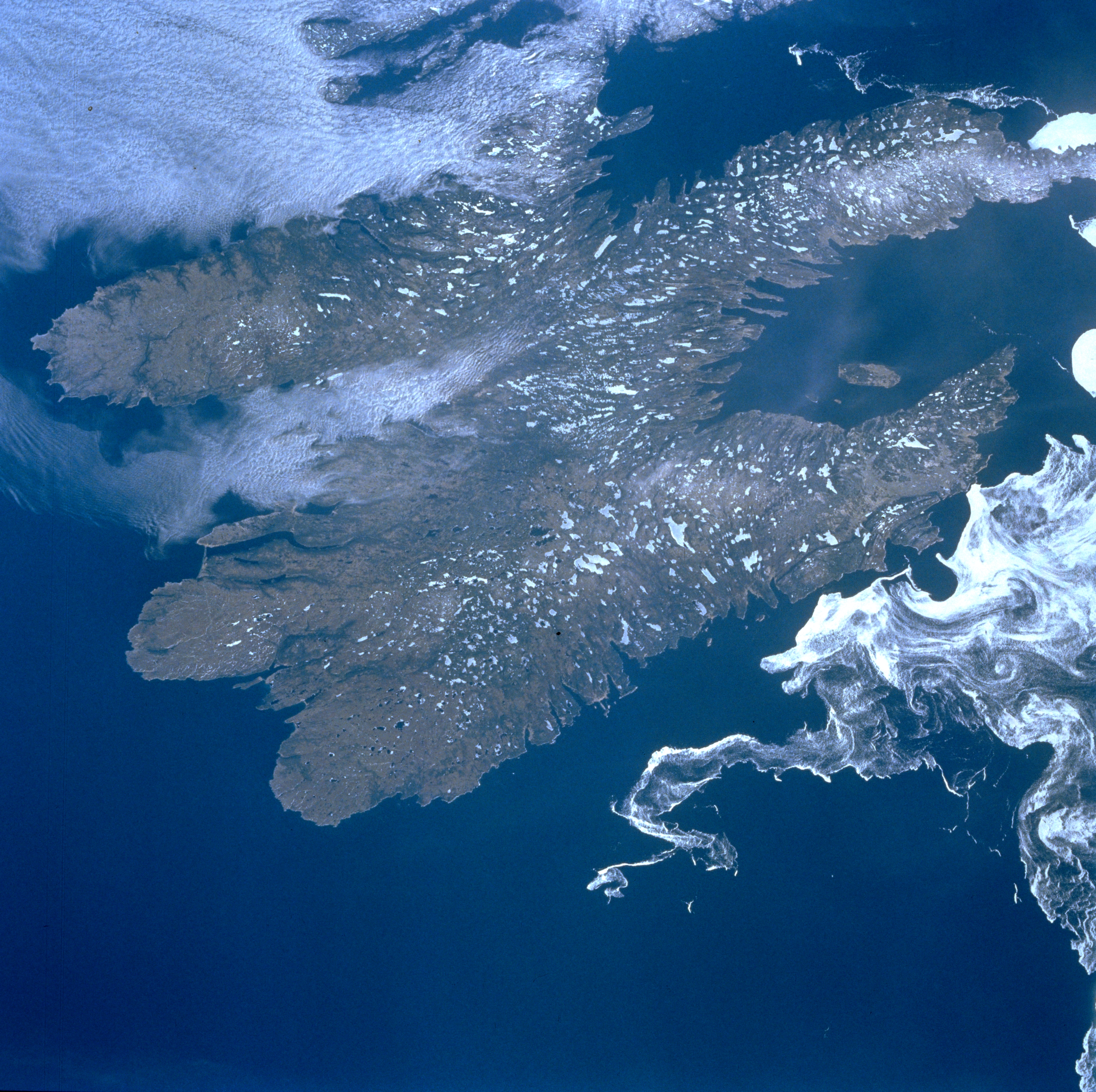
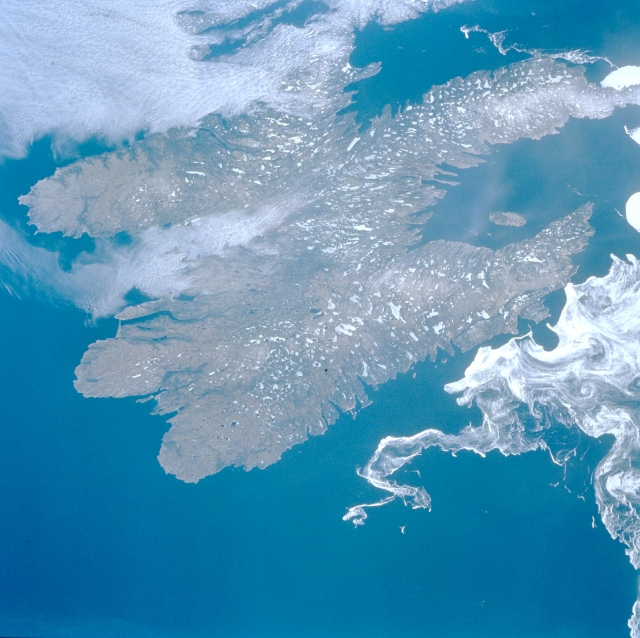
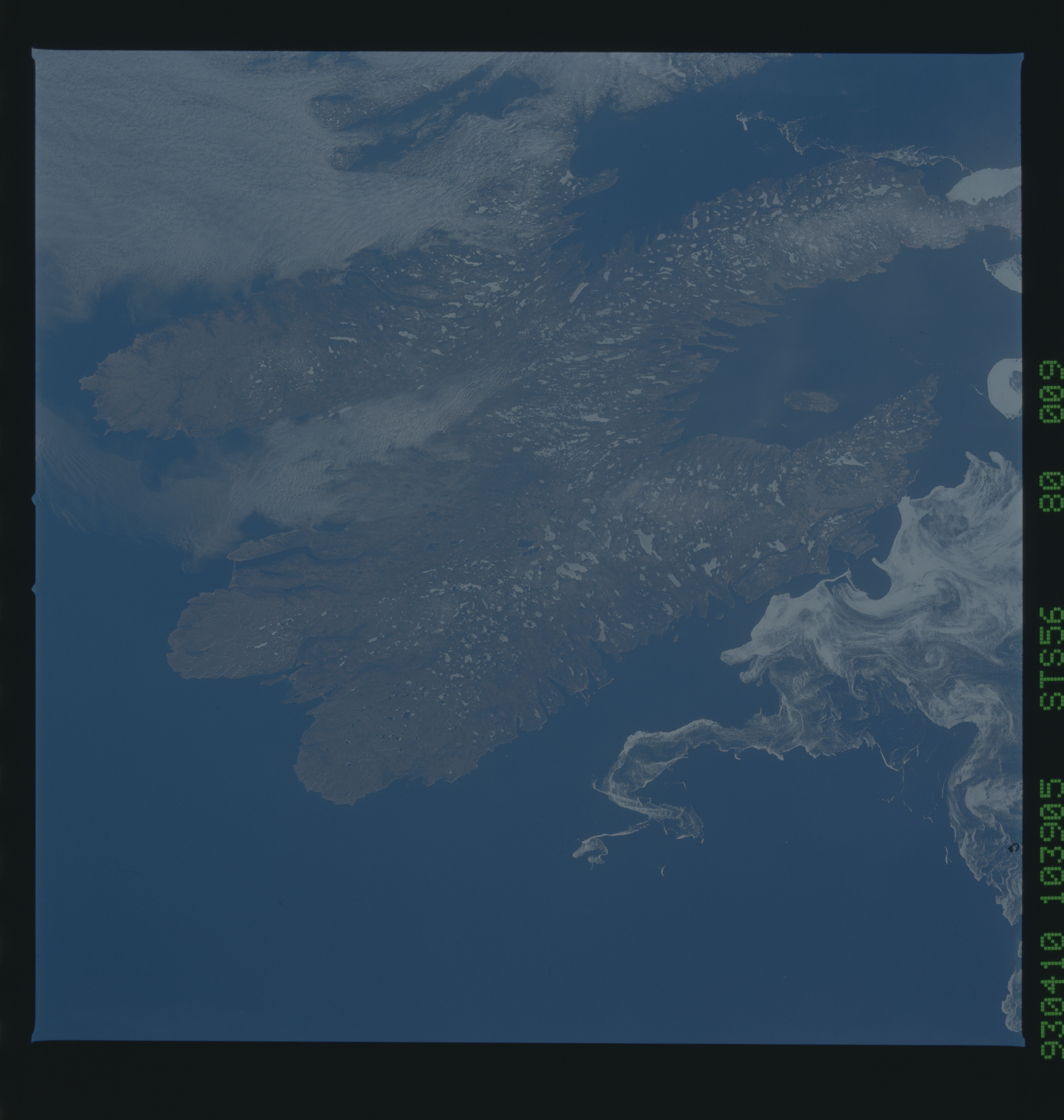
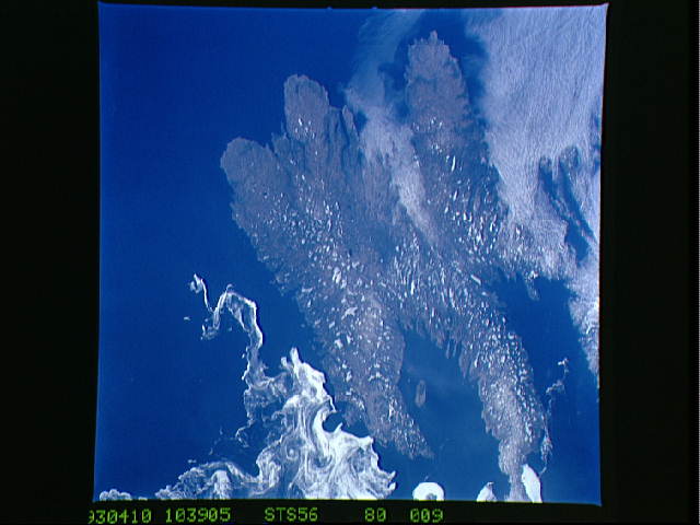
Image Caption: STS056-080-009 Avalon Peninsula, Newfoundland, Canada April 1993
Even though this synoptic view of the Avalon Peninsula, the southeastern appendage to Newfoundland Island, does not show any detailed landform information, fjords along the coastline and the general landscape show the results of the continental ice sheet that scoured and covered this region thousands of years ago. The small white patches are frozen, snow covered lakes. This image provides an opportunity to discriminate the difference between the sea ice floes (the distinctive pattern of white swirls off of the east coast of the Avalon Peninsula) and the low stratus clouds over Placentia Bay (upper left corner of image) and St. Mary's Bay (left of center).
Even though this synoptic view of the Avalon Peninsula, the southeastern appendage to Newfoundland Island, does not show any detailed landform information, fjords along the coastline and the general landscape show the results of the continental ice sheet that scoured and covered this region thousands of years ago. The small white patches are frozen, snow covered lakes. This image provides an opportunity to discriminate the difference between the sea ice floes (the distinctive pattern of white swirls off of the east coast of the Avalon Peninsula) and the low stratus clouds over Placentia Bay (upper left corner of image) and St. Mary's Bay (left of center).
