STS056-78-32
| NASA Photo ID | STS056-78-32 |
| Focal Length | 250mm |
| Date taken | 1993.04.10 |
| Time taken | 06:10:00 GMT |
Resolutions offered for this image:
4096 x 4096 pixels 640 x 640 pixels 5700 x 6000 pixels 500 x 526 pixels 640 x 480 pixels
4096 x 4096 pixels 640 x 640 pixels 5700 x 6000 pixels 500 x 526 pixels 640 x 480 pixels

Cloud masks available for this image:
Spacecraft nadir point: 40.9° N, 24.4° E
Photo center point:
Photo center point by machine learning:
Photo center point:
Photo center point by machine learning:
Nadir to Photo Center:
Spacecraft Altitude: 163 nautical miles (302km)
Country or Geographic Name: | GREECE |
Features: | THASOS I., SOFT FOCUS |
| Features Found Using Machine Learning: | |
Cloud Cover Percentage: | 5 (1-10)% |
Sun Elevation Angle: | 25° |
Sun Azimuth: | 102° |
Camera: | Hasselblad |
Focal Length: | 250mm |
Camera Tilt: | |
Format: | 5017: Kodak, natural color positive, Ektachrome, X Professional, ASA 64, standard base |
Film Exposure: | Out of Focus |
| Additional Information | |
| Width | Height | Annotated | Cropped | Purpose | Links |
|---|---|---|---|---|---|
| 4096 pixels | 4096 pixels | No | No | Earth From Space collection | Download Image |
| 640 pixels | 640 pixels | No | No | Earth From Space collection | Download Image |
| 5700 pixels | 6000 pixels | No | No | Download Image | |
| 500 pixels | 526 pixels | No | No | Download Image | |
| 640 pixels | 480 pixels | No | No | Download Image |
Download Packaged File
Download a Google Earth KML for this Image
View photo footprint information
Download a GeoTIFF for this photo
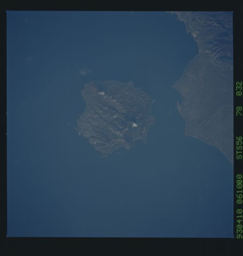
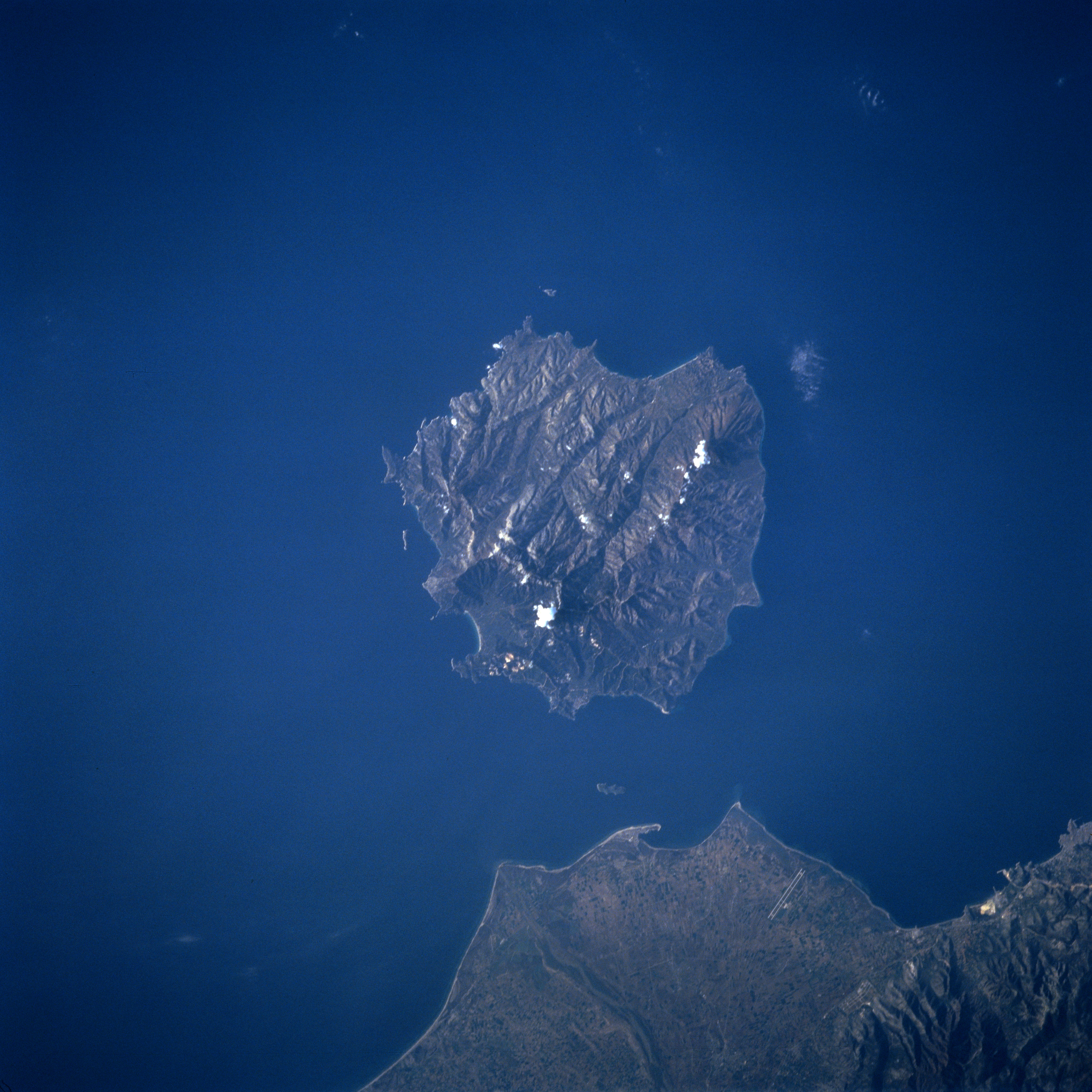
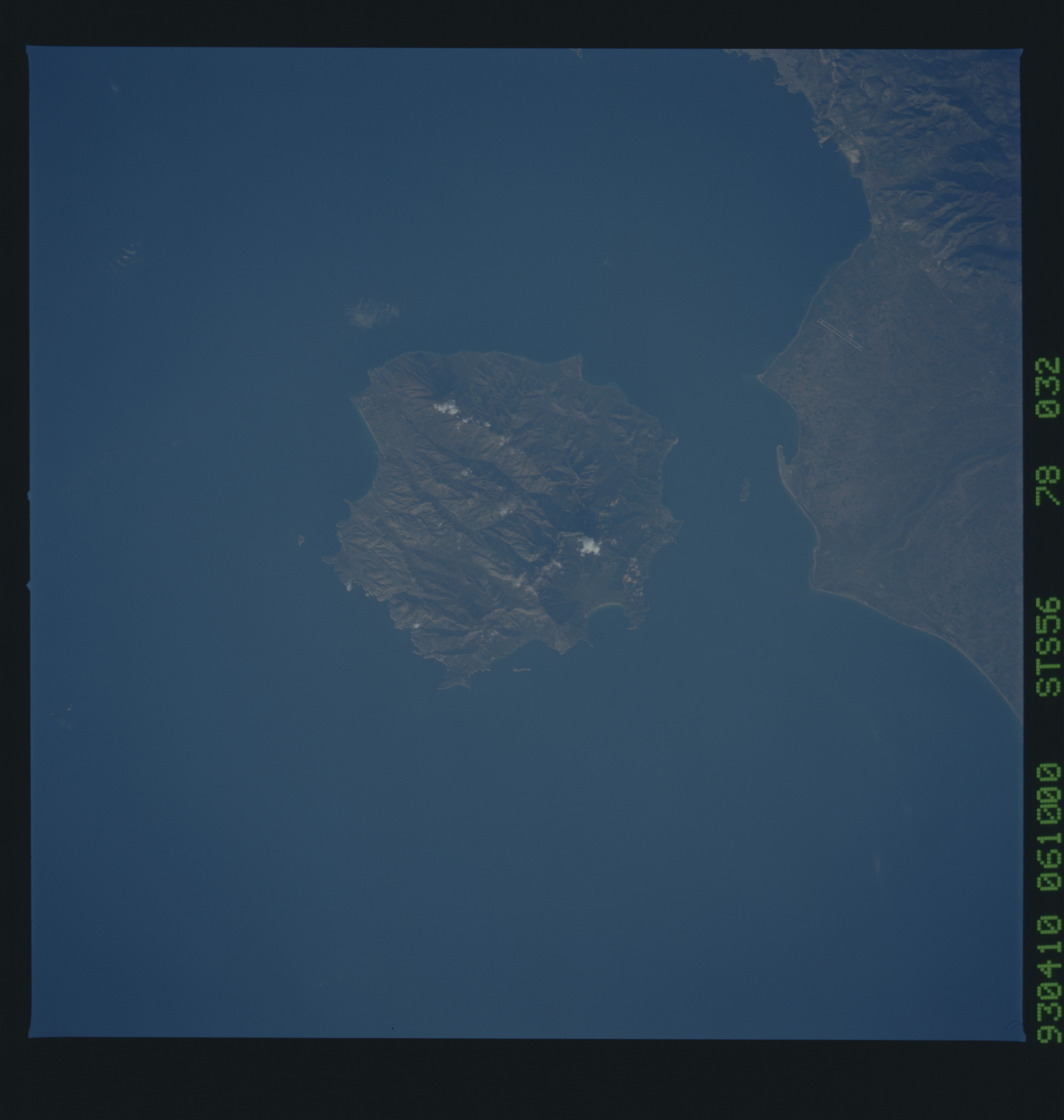
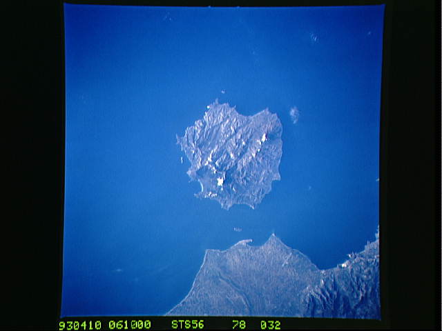
Image Caption: STS056-078-032 Thasos Island, Greece April 1993
Thasos (Thassos) Island, famous in antiguity for its gold and marble lies 4 miles (6 km) off the coast of Greece in the northern Aegean Sea. Covering an area of 170 sq. miles (440 sq. km), the rugged, forested, mountainous island is composed of marble and gray green gneiss. Numerous sandy beaches dot the island. Ample rainfall in autumn and winter sustains the dense vegetation, which covers the landscape and makes the island a popular vacation resort area. Thasos Island is now famous for its honey as beehives are in evidence throughout the island. The long airport runway at Kavala Khrisoupolis Airport on mainland Greece is visible near the bottom center of the image.
Thasos (Thassos) Island, famous in antiguity for its gold and marble lies 4 miles (6 km) off the coast of Greece in the northern Aegean Sea. Covering an area of 170 sq. miles (440 sq. km), the rugged, forested, mountainous island is composed of marble and gray green gneiss. Numerous sandy beaches dot the island. Ample rainfall in autumn and winter sustains the dense vegetation, which covers the landscape and makes the island a popular vacation resort area. Thasos Island is now famous for its honey as beehives are in evidence throughout the island. The long airport runway at Kavala Khrisoupolis Airport on mainland Greece is visible near the bottom center of the image.
