STS056-75-15

| NASA Photo ID | STS056-75-15 |
| Focal Length | 100mm |
| Date taken | 1993.04.10 |
| Time taken | 15:26:48 GMT |
Resolutions offered for this image:
5266 x 5266 pixels 639 x 639 pixels 5700 x 6000 pixels 500 x 526 pixels 640 x 480 pixels
5266 x 5266 pixels 639 x 639 pixels 5700 x 6000 pixels 500 x 526 pixels 640 x 480 pixels


Cloud masks available for this image:
Spacecraft nadir point: 5.0° S, 79.5° W
Photo center point: 5.5° S, 80.5° W
Photo center point by machine learning:
Photo center point: 5.5° S, 80.5° W
Photo center point by machine learning:
Nadir to Photo Center: Southwest
Spacecraft Altitude: 160 nautical miles (296km)
Country or Geographic Name: | PERU |
Features: | SECHURA DESERT, LAKES |
| Features Found Using Machine Learning: | |
Cloud Cover Percentage: | 40 (26-50)% |
Sun Elevation Angle: | 59° |
Sun Azimuth: | 65° |
Camera: | Hasselblad |
Focal Length: | 100mm |
Camera Tilt: | 23 degrees |
Format: | 5017: Kodak, natural color positive, Ektachrome, X Professional, ASA 64, standard base |
Film Exposure: | Normal |
| Additional Information | |
| Width | Height | Annotated | Cropped | Purpose | Links |
|---|---|---|---|---|---|
| 5266 pixels | 5266 pixels | No | No | Earth From Space collection | Download Image |
| 639 pixels | 639 pixels | No | No | Earth From Space collection | Download Image |
| 5700 pixels | 6000 pixels | No | No | Download Image | |
| 500 pixels | 526 pixels | No | No | Download Image | |
| 640 pixels | 480 pixels | No | No | Download Image |
Download Packaged File
Download a Google Earth KML for this Image
View photo footprint information
Download a GeoTIFF for this photo
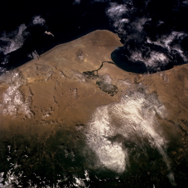
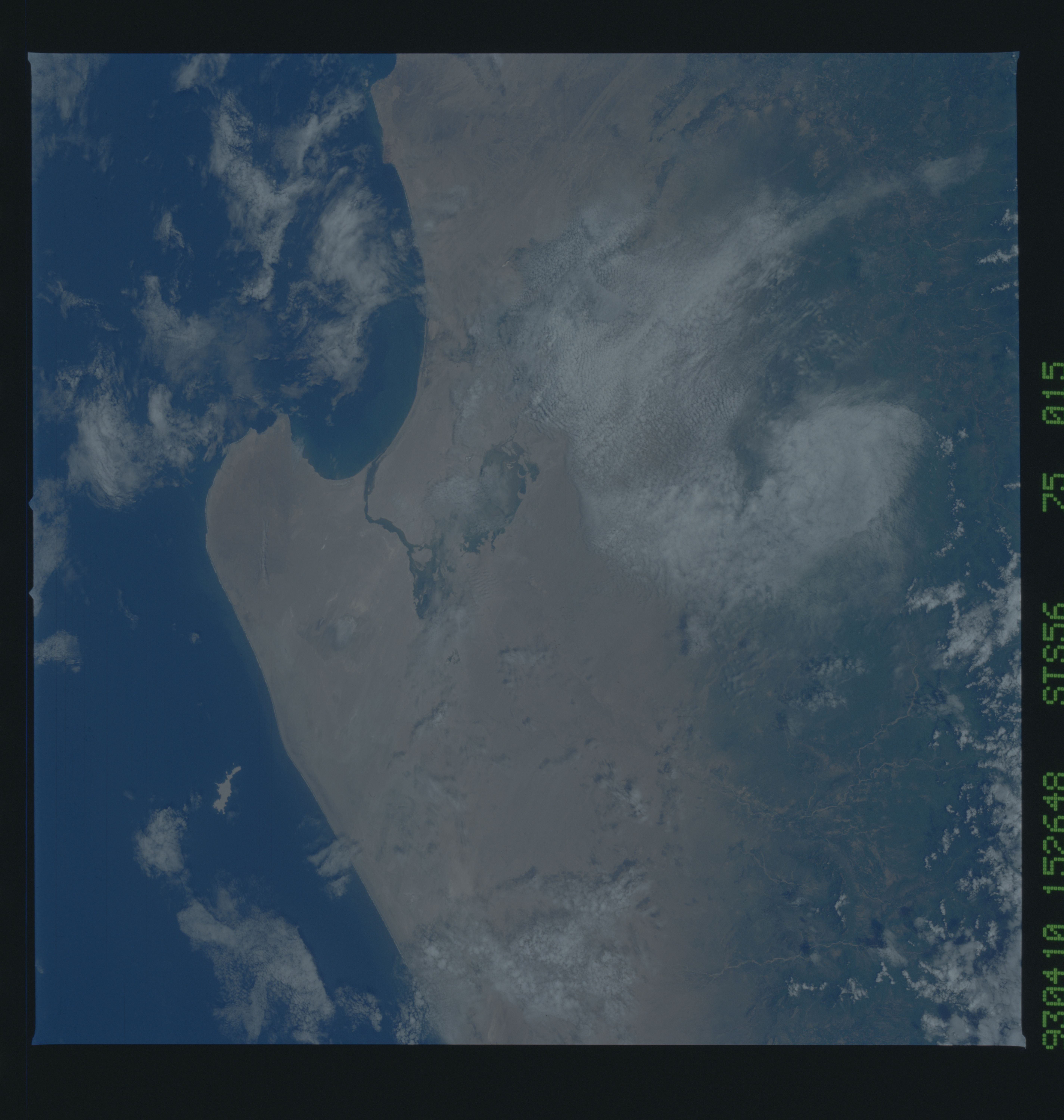
Image Caption: STS056-075-015 Sechura Desert, Peru April 1993
The Sechura Desert of northwestern Peru is typical of the hyperarid conditions that exist along the west coast of South America where the cold Humboldt (Peruvian) Current generates very little precipitation, especially along the northern coast of Chile and the entire coast of Peru. The tan landscape is almost devoid of any vegetation, except for limited areas where sufficient moisture exists to sustain some growth. The faint wind streaks show the prevailing southwest-to-northeast wind throughout the desert. A low mountain [1580 feet (480 meters)] is barely visible on the peninsula that juts into the cold Pacific Ocean. The darker area in the desert southeast of Sechura Bay appears to be an oasis area where possibly a hardy variety of cotton is grown with the use of irrigation. This photograph demonstrates the importance of elevation by the increase in vegetative cover (darker area along the eastern side of the photograph) as the land begins its ascent into the Andes Mountains. The west-flowing Cascajal River exits the Andes Mountains, begins its trek across the Sechura Desert, and apparently disappears beneath the sandy soil of the desert before reaching the cultivated field near the coast. The south-flowing Piura River, partially obscured by clouds, can also be seen as it traverses the desert. Both of these rivers flow only when there is sufficient icemelt or snowmelt from the Andes Mountains or precipitation.
The Sechura Desert of northwestern Peru is typical of the hyperarid conditions that exist along the west coast of South America where the cold Humboldt (Peruvian) Current generates very little precipitation, especially along the northern coast of Chile and the entire coast of Peru. The tan landscape is almost devoid of any vegetation, except for limited areas where sufficient moisture exists to sustain some growth. The faint wind streaks show the prevailing southwest-to-northeast wind throughout the desert. A low mountain [1580 feet (480 meters)] is barely visible on the peninsula that juts into the cold Pacific Ocean. The darker area in the desert southeast of Sechura Bay appears to be an oasis area where possibly a hardy variety of cotton is grown with the use of irrigation. This photograph demonstrates the importance of elevation by the increase in vegetative cover (darker area along the eastern side of the photograph) as the land begins its ascent into the Andes Mountains. The west-flowing Cascajal River exits the Andes Mountains, begins its trek across the Sechura Desert, and apparently disappears beneath the sandy soil of the desert before reaching the cultivated field near the coast. The south-flowing Piura River, partially obscured by clouds, can also be seen as it traverses the desert. Both of these rivers flow only when there is sufficient icemelt or snowmelt from the Andes Mountains or precipitation.
