STS056-109-24
| NASA Photo ID | STS056-109-24 |
| Focal Length | 250mm |
| Date taken | 1993.04.10 |
| Time taken | 15:15:19 GMT |
Resolutions offered for this image:
3904 x 3772 pixels 639 x 618 pixels 5700 x 6000 pixels 500 x 526 pixels 640 x 480 pixels
3904 x 3772 pixels 639 x 618 pixels 5700 x 6000 pixels 500 x 526 pixels 640 x 480 pixels

Cloud masks available for this image:
Spacecraft nadir point: 32.3° N, 104.0° W
Photo center point: 33.0° N, 103.5° W
Photo center point by machine learning:
Photo center point: 33.0° N, 103.5° W
Photo center point by machine learning:
Nadir to Photo Center: Northeast
Spacecraft Altitude: 162 nautical miles (300km)
Camera: | Hasselblad |
Focal Length: | 250mm |
Camera Tilt: | 18 degrees |
Format: | 2443: Kodak Aerochrome 2443, color IR, thin base, EA-5 process thru June 1999, E-6 process afterward |
Film Exposure: | Normal |
| Additional Information | |
| Width | Height | Annotated | Cropped | Purpose | Links |
|---|---|---|---|---|---|
| 3904 pixels | 3772 pixels | No | No | Earth From Space collection | Download Image |
| 639 pixels | 618 pixels | No | No | Earth From Space collection | Download Image |
| 5700 pixels | 6000 pixels | No | No | Download Image | |
| 500 pixels | 526 pixels | No | No | Download Image | |
| 640 pixels | 480 pixels | No | No | Download Image |
Download Packaged File
Download a Google Earth KML for this Image
View photo footprint information
Download a GeoTIFF for this photo
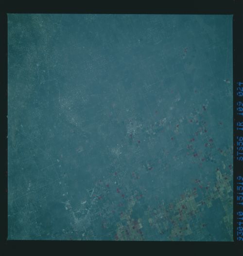
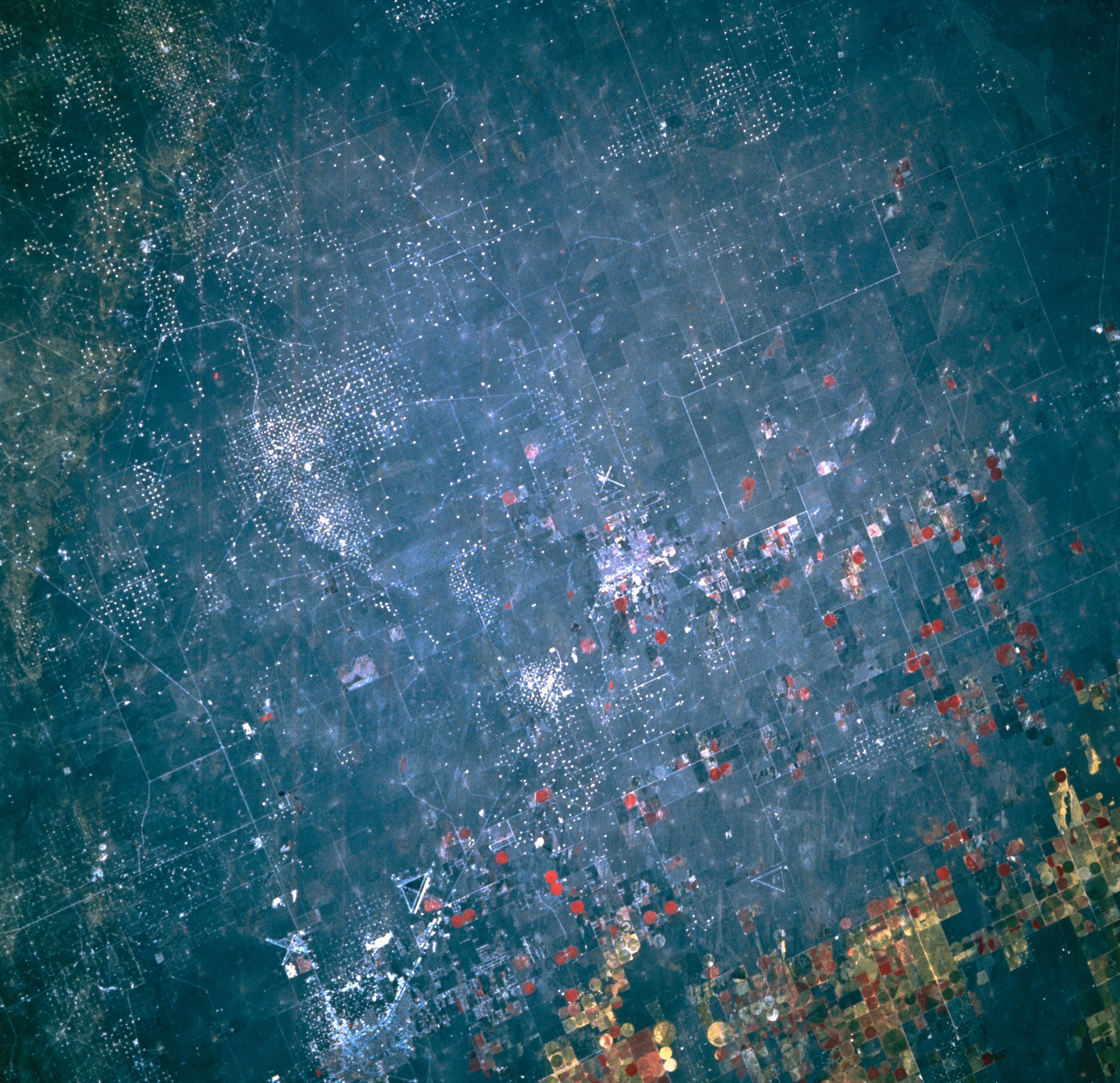
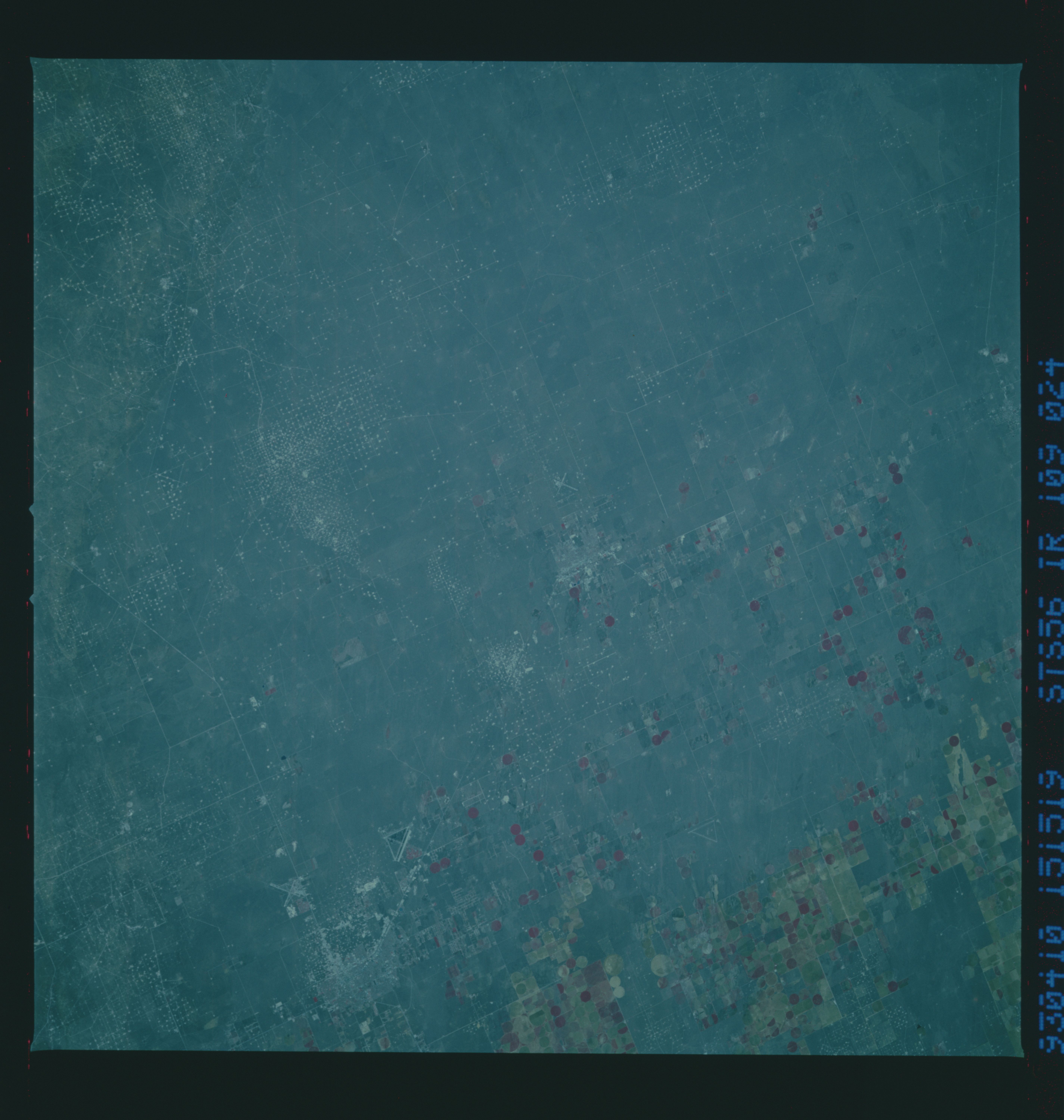
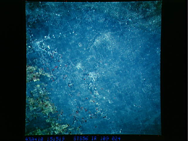
Image Caption: STS056-109-024 Hobbs, New Mexico, U.S.A. April 1993
Visible are scattered white dots that designate producing oil and gas wells west and northwest of Hobbs whose faint outline appears along the bottom left side of the photograph. Apparent are two airports and their respective intersecting runways west and northwest of Hobbs; State Highway 18, which connects Hobbs with Lovington to the northwest, another small community near the Texas-New Mexico border; and rectangular and circular irrigated, cultivated fields, most of which are located in west Texas.
Visible are scattered white dots that designate producing oil and gas wells west and northwest of Hobbs whose faint outline appears along the bottom left side of the photograph. Apparent are two airports and their respective intersecting runways west and northwest of Hobbs; State Highway 18, which connects Hobbs with Lovington to the northwest, another small community near the Texas-New Mexico border; and rectangular and circular irrigated, cultivated fields, most of which are located in west Texas.
