STS055-95-4
| NASA Photo ID | STS055-95-4 |
| Focal Length | mm |
| Date taken | 1993.05.03 |
| Time taken | 02:02:26 GMT |
Resolutions offered for this image:
5700 x 6000 pixels 3983 x 4000 pixels 500 x 526 pixels 764 x 768 pixels 1281 x 1271 pixels
5700 x 6000 pixels 3983 x 4000 pixels 500 x 526 pixels 764 x 768 pixels 1281 x 1271 pixels


Cloud masks available for this image:
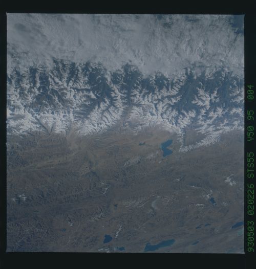
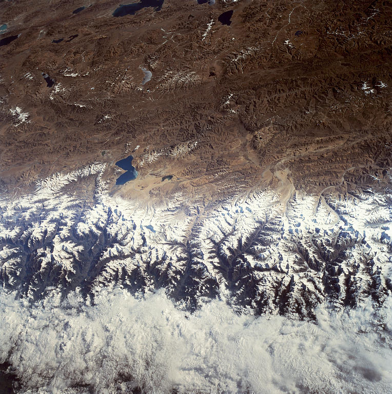
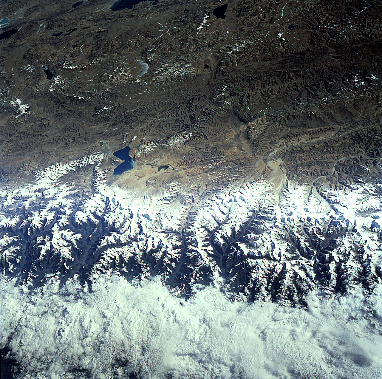
Spacecraft nadir point: 25.7° N, 86.7° E
Photo center point:
Photo center point by machine learning:
Photo center point:
Photo center point by machine learning:
Nadir to Photo Center:
Spacecraft Altitude: 164 nautical miles (304km)
Country or Geographic Name: | |
Features: | CAMERA MALFUNCTION |
| Features Found Using Machine Learning: | |
Cloud Cover Percentage: | |
Sun Elevation Angle: | 32° |
Sun Azimuth: | 87° |
Camera: | Hasselblad |
Focal Length: | mm |
Camera Tilt: | |
Format: | VELVI: Fuji, natural color positive, Velvia 50, CS 135-36, ASA 32, standard base |
Film Exposure: | |
| Additional Information | |
| Width | Height | Annotated | Cropped | Purpose | Links |
|---|---|---|---|---|---|
| 5700 pixels | 6000 pixels | No | No | Download Image | |
| 3983 pixels | 4000 pixels | No | No | Download Image | |
| 500 pixels | 526 pixels | No | No | Download Image | |
| 764 pixels | 768 pixels | No | No | Download Image | |
| 1281 pixels | 1271 pixels | Download Image |
Download Packaged File
Download a Google Earth KML for this Image
View photo footprint information
Download a GeoTIFF for this photo
Image Caption: none
