STS055-76-21
| NASA Photo ID | STS055-76-21 |
| Focal Length | 250mm |
| Date taken | 1993.__.__ |
| Time taken | GMT |
Resolutions offered for this image:
4062 x 4056 pixels 640 x 639 pixels 5700 x 6000 pixels 500 x 526 pixels 640 x 480 pixels 647 x 640 pixels
4062 x 4056 pixels 640 x 639 pixels 5700 x 6000 pixels 500 x 526 pixels 640 x 480 pixels 647 x 640 pixels


Cloud masks available for this image:
Spacecraft nadir point:
Photo center point: 28.5° N, 77.0° E
Photo center point by machine learning:
Photo center point: 28.5° N, 77.0° E
Photo center point by machine learning:
Nadir to Photo Center:
Spacecraft Altitude: nautical miles (0km)
Camera: | Hasselblad |
Focal Length: | 250mm |
Camera Tilt: | Near Vertical |
Format: | 5017: Kodak, natural color positive, Ektachrome, X Professional, ASA 64, standard base |
Film Exposure: | Normal |
| Additional Information | |
| Width | Height | Annotated | Cropped | Purpose | Links |
|---|---|---|---|---|---|
| 4062 pixels | 4056 pixels | No | No | Earth From Space collection | Download Image |
| 640 pixels | 639 pixels | No | No | Earth From Space collection | Download Image |
| 5700 pixels | 6000 pixels | No | No | Download Image | |
| 500 pixels | 526 pixels | No | No | Download Image | |
| 640 pixels | 480 pixels | No | No | Download Image | |
| 647 pixels | 640 pixels | No | No | Download Image |
Download Packaged File
Download a Google Earth KML for this Image
View photo footprint information
Download a GeoTIFF for this photo
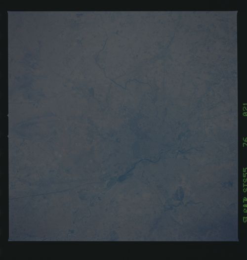
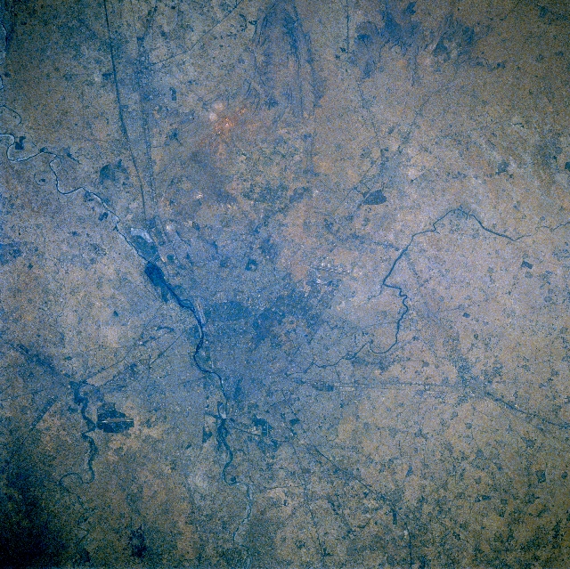
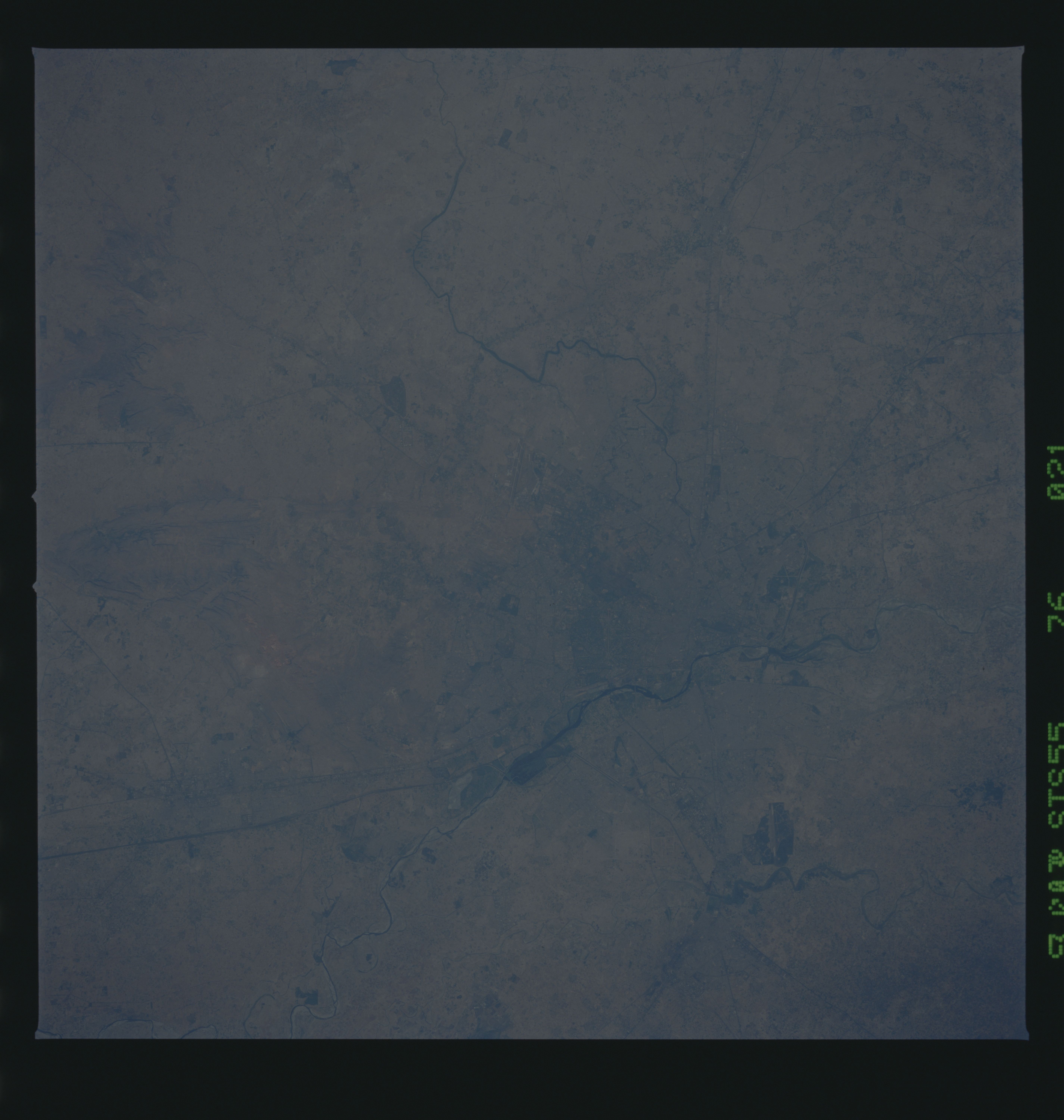
Image Caption: STS055-076-021 Delhi/New Delhi Area, India May 1993
The location of the conurbation of Delhi and New Delhi can be identified (slightly left and below center) in this near-vertical view as the grayish-looking area (street patterns are barely discernible) along the west bank of the meandering, southward flowing Yamuna River (thin, dark line, bottom center to left edge). The extensive metropolitan area consists of the two cities within one. Delhi, the older city with its walled forts, mosques, and chaotic markets, is located in the northern part of this large urban area (population over 10 million), while New Delhi, India's national capital that was developed by the British during the first quarter of the 20th century, is more modern and spacious and is located south of but adjacent to Delhi. The regional significance of these two cities was the result of their geographic location. The cities are situated in a narrow corridor of relatively flat land that included all the land routes from northwest India to the northern Gangetic Plains. The climate regime of the region is semiarid for most of the year, except for the brief period when the wet summer monsoon can provide substantial rainfall but then only for very limited periods.
The location of the conurbation of Delhi and New Delhi can be identified (slightly left and below center) in this near-vertical view as the grayish-looking area (street patterns are barely discernible) along the west bank of the meandering, southward flowing Yamuna River (thin, dark line, bottom center to left edge). The extensive metropolitan area consists of the two cities within one. Delhi, the older city with its walled forts, mosques, and chaotic markets, is located in the northern part of this large urban area (population over 10 million), while New Delhi, India's national capital that was developed by the British during the first quarter of the 20th century, is more modern and spacious and is located south of but adjacent to Delhi. The regional significance of these two cities was the result of their geographic location. The cities are situated in a narrow corridor of relatively flat land that included all the land routes from northwest India to the northern Gangetic Plains. The climate regime of the region is semiarid for most of the year, except for the brief period when the wet summer monsoon can provide substantial rainfall but then only for very limited periods.
