STS055-152-153
| NASA Photo ID | STS055-152-153 |
| Focal Length | 250mm |
| Date taken | 1993.__.__ |
| Time taken | GMT |
Resolutions offered for this image:
640 x 480 pixels
640 x 480 pixels
Cloud masks available for this image:
Spacecraft nadir point:
Photo center point: 24.5° S, 56.5° W
Photo center point by machine learning:
Photo center point: 24.5° S, 56.5° W
Photo center point by machine learning:
Nadir to Photo Center:
Spacecraft Altitude: nautical miles (0km)
Camera: | Linhof |
Focal Length: | 250mm |
Camera Tilt: | Low Oblique |
Format: | QX868: Kodak, natural color positive, Ektachrome QX868(5017 emulsion), ASA 64, thin base |
Film Exposure: | Normal |
| Additional Information | |
| Width | Height | Annotated | Cropped | Purpose | Links |
|---|---|---|---|---|---|
| 640 pixels | 480 pixels | No | No | ISD 1 | Download Image |
Download Packaged File
Download a Google Earth KML for this Image
View photo footprint information
Download a GeoTIFF for this photo
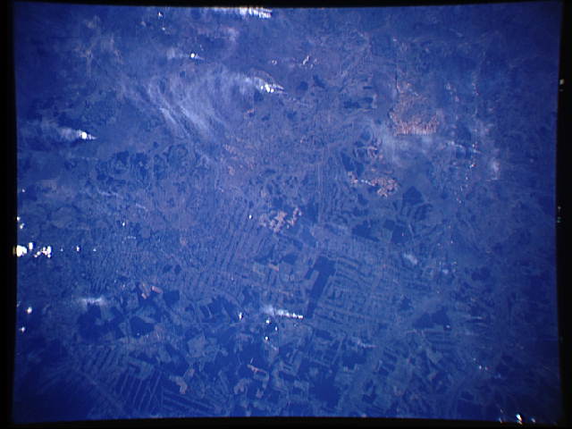
Image Caption: STS-55 Earth observation taken aboard Columbia, Orbiter Vehicle (OV) 102, is of agricultural development in northern Argentina. This photograph is from a mapping strip of photographs acquired by the STS-55 crew. This mapping strip runs from the "eyelash forests" of the Bolivian Andes, southeast across the Chaco Plains, and into the upper Parana River Basin of north-central Argentina. The formerly densely forested areas between the upper Rio Pilcomayo and the Rio Teuco of NW Argentina rest on deep, rich alluvial and loess deposits. These modern soils were carried into the region by rivers from the Andes and by dust storms from large playa areas of the Altiplano (high plains) of Peru and Boliva. In this scene, representative of the long mapping strip, the process of converting forests to agriculture is far advanced. The original road network, a series of grids laid out in the forest, has nearly coalesced into a farm and ranch landscape. Some few relict forests are still visible as distin
