STS055-151B-147

| NASA Photo ID | STS055-151B-147 |
| Focal Length | 250mm |
| Date taken | 1993.04.29 |
| Time taken | 09:24:21 GMT |
Cloud masks available for this image:
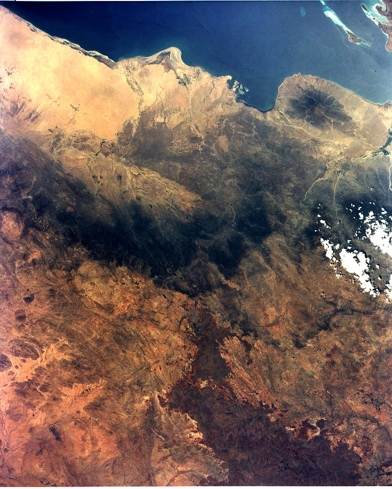
Spacecraft nadir point: 15.1° N, 40.1° E
Photo center point: 15.5° N, 39.0° E
Photo center point by machine learning:
Photo center point: 15.5° N, 39.0° E
Photo center point by machine learning:
Nadir to Photo Center: West
Spacecraft Altitude: 162 nautical miles (300km)
Country or Geographic Name: | ETHIOPIA |
Features: | COASTAL HILLS, ASMARA |
| Features Found Using Machine Learning: | |
Cloud Cover Percentage: | 5 (1-10)% |
Sun Elevation Angle: | 88° |
Sun Azimuth: | 253° |
Camera: | Linhof |
Focal Length: | 250mm |
Camera Tilt: | 23 degrees |
Format: | QX868: Kodak, natural color positive, Ektachrome QX868(5017 emulsion), ASA 64, thin base |
Film Exposure: | Normal |
| Additional Information | |
| Width | Height | Annotated | Cropped | Purpose | Links |
|---|---|---|---|---|---|
| 791 pixels | 986 pixels | No | No | Cities collection | Download Image |
| 640 pixels | 480 pixels | No | No | ISD 1 | Download Image |
Download Packaged File
Download a Google Earth KML for this Image
View photo footprint information
Download a GeoTIFF for this photo
Image Caption: none
