STS051-78-65
| NASA Photo ID | STS051-78-65 |
| Focal Length | 250mm |
| Date taken | 1993.09.__ |
| Time taken | GMT |
Cloud masks available for this image:
Spacecraft nadir point:
Photo center point: 24.0° S, 151.5° E
Photo center point by machine learning:
Photo center point: 24.0° S, 151.5° E
Photo center point by machine learning:
Nadir to Photo Center:
Spacecraft Altitude: nautical miles (0km)
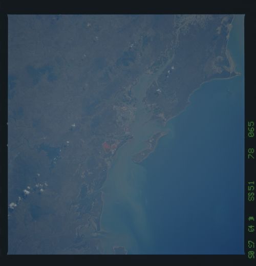
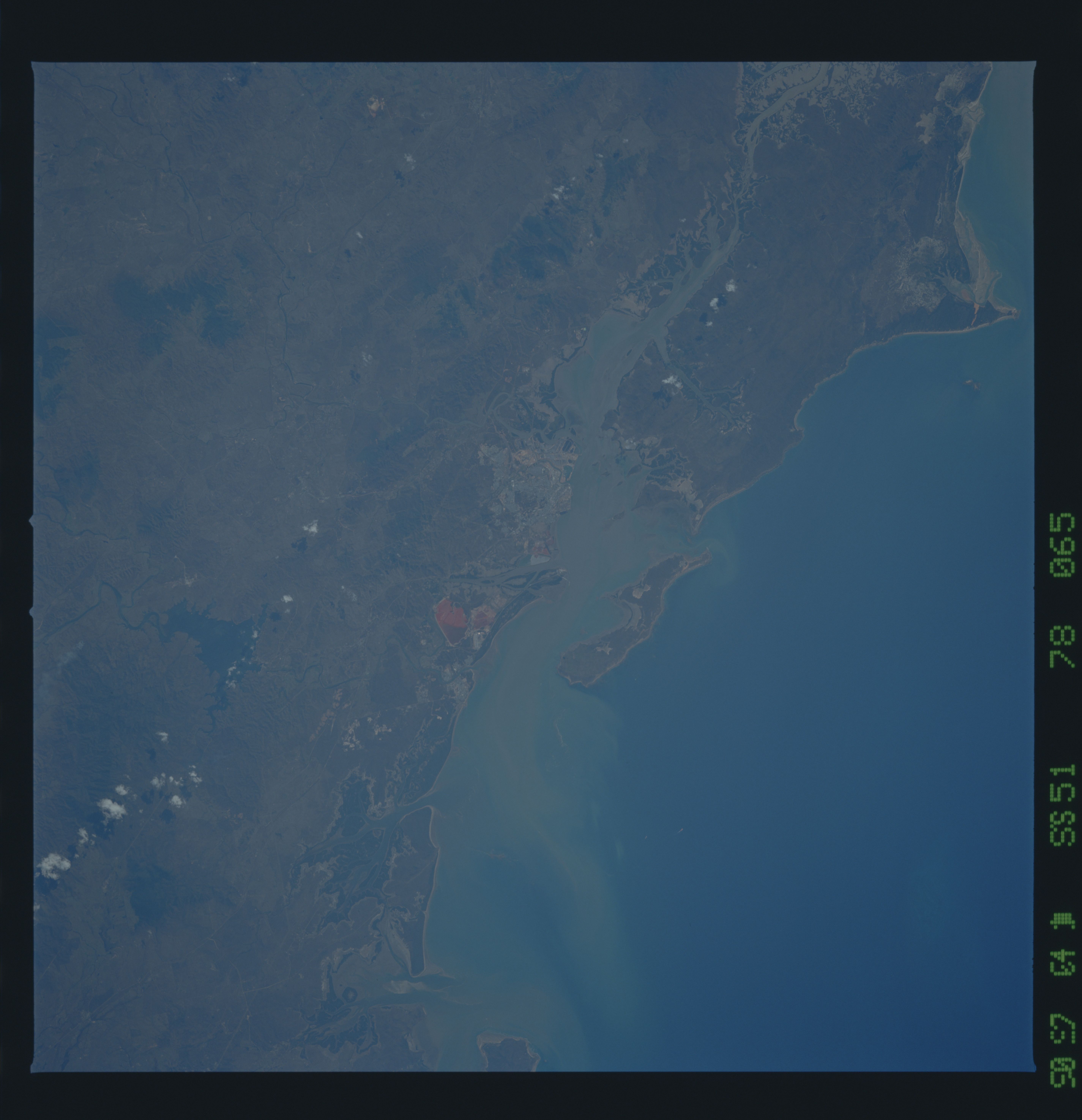
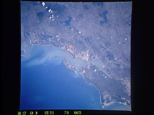
Country or Geographic Name: | AUSTRALIA-Q |
Features: | GLADSTONE, FACING ISLAND |
| Features Found Using Machine Learning: | |
Cloud Cover Percentage: | 0 (no clouds present) |
Sun Elevation Angle: | ° |
Sun Azimuth: | ° |
Camera: | Hasselblad |
Focal Length: | 250mm |
Camera Tilt: | Low Oblique |
Format: | 5017: Kodak, natural color positive, Ektachrome, X Professional, ASA 64, standard base |
Film Exposure: | Normal |
| Additional Information | |
| Width | Height | Annotated | Cropped | Purpose | Links |
|---|---|---|---|---|---|
| 5700 pixels | 5900 pixels | No | No | Download Image | |
| 500 pixels | 518 pixels | No | No | Download Image | |
| 640 pixels | 480 pixels | No | No | Download Image |
Download Packaged File
Download a Google Earth KML for this Image
View photo footprint information
Download a GeoTIFF for this photo
Image Caption: Gladstone, Queensland (24 S). Facing Island, Curtis Island. Red mine
waste from aluminum or iron mining. Tidal range on mangrove coast.
Detail of Great Barrier Reef, between 13.5 and 14 degrees south
latitude.
waste from aluminum or iron mining. Tidal range on mangrove coast.
Detail of Great Barrier Reef, between 13.5 and 14 degrees south
latitude.
