STS051-75-92

| NASA Photo ID | STS051-75-92 |
| Focal Length | 250mm |
| Date taken | 1993.09.18 |
| Time taken | 15:42:04 GMT |
Resolutions offered for this image:
4796 x 4796 pixels 639 x 639 pixels 5700 x 5900 pixels 500 x 518 pixels 640 x 480 pixels
4796 x 4796 pixels 639 x 639 pixels 5700 x 5900 pixels 500 x 518 pixels 640 x 480 pixels
Cloud masks available for this image:
Spacecraft nadir point: 23.6° S, 46.4° W
Photo center point: 23.5° S, 46.5° W
Photo center point by machine learning:
Photo center point: 23.5° S, 46.5° W
Photo center point by machine learning:
Nadir to Photo Center: Northwest
Spacecraft Altitude: 167 nautical miles (309km)
Country or Geographic Name: | BRAZIL |
Features: | SAO PAULO, RESERVOIRS |
| Features Found Using Machine Learning: | |
Cloud Cover Percentage: | 5 (1-10)% |
Sun Elevation Angle: | 63° |
Sun Azimuth: | 336° |
Camera: | Hasselblad |
Focal Length: | 250mm |
Camera Tilt: | 3 degrees |
Format: | 5017: Kodak, natural color positive, Ektachrome, X Professional, ASA 64, standard base |
Film Exposure: | Normal |
| Additional Information | |
| Width | Height | Annotated | Cropped | Purpose | Links |
|---|---|---|---|---|---|
| 4796 pixels | 4796 pixels | No | No | Earth From Space collection | Download Image |
| 639 pixels | 639 pixels | No | No | Earth From Space collection | Download Image |
| 5700 pixels | 5900 pixels | No | No | Download Image | |
| 500 pixels | 518 pixels | No | No | Download Image | |
| 640 pixels | 480 pixels | No | No | Download Image |
Download Packaged File
Download a Google Earth KML for this Image
View photo footprint information
Download a GeoTIFF for this photo
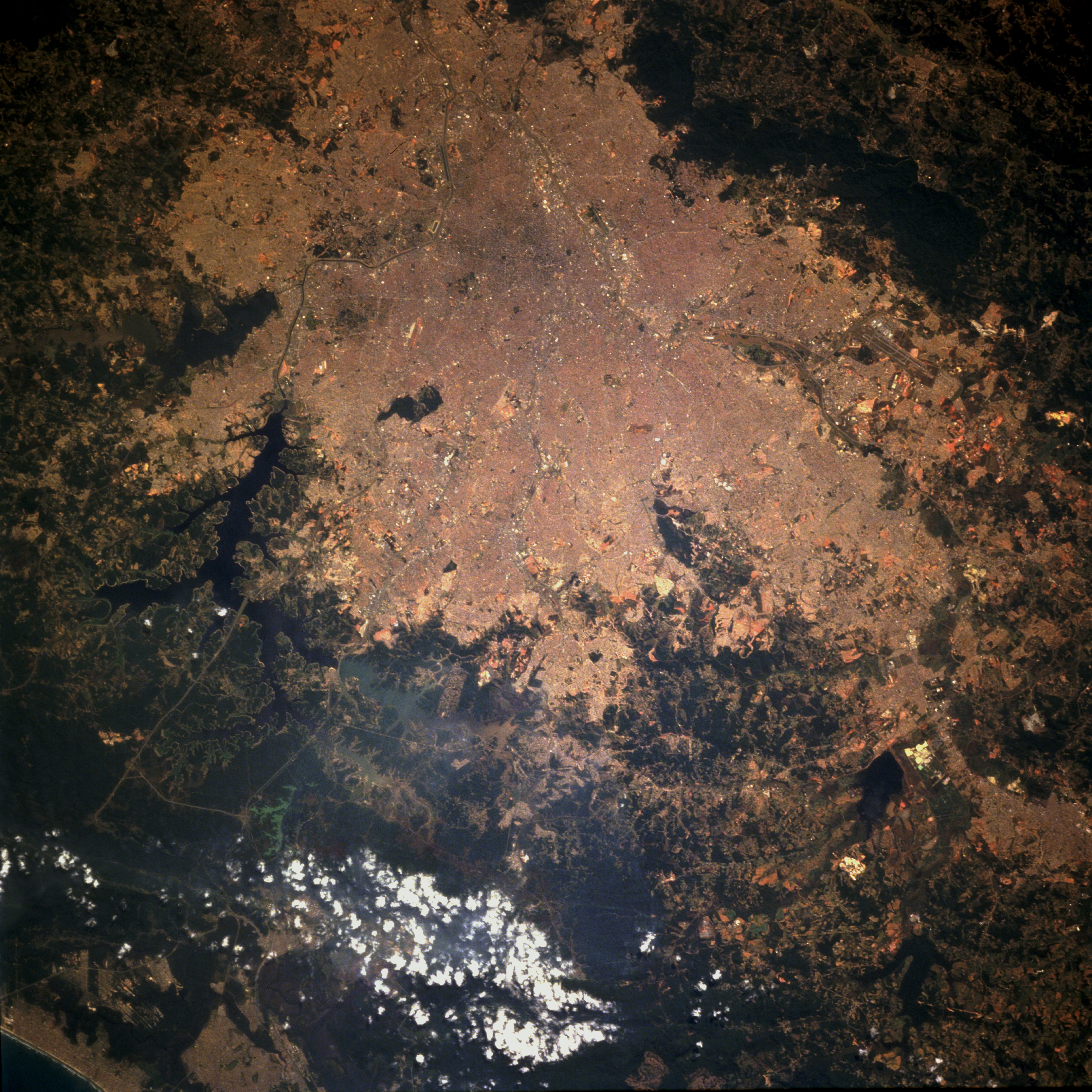
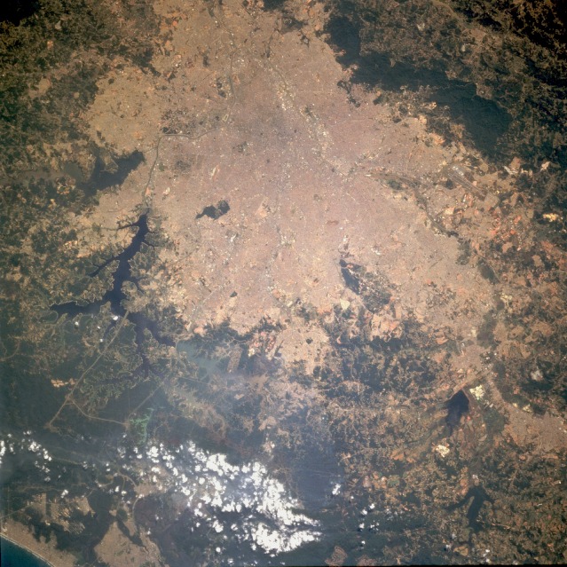
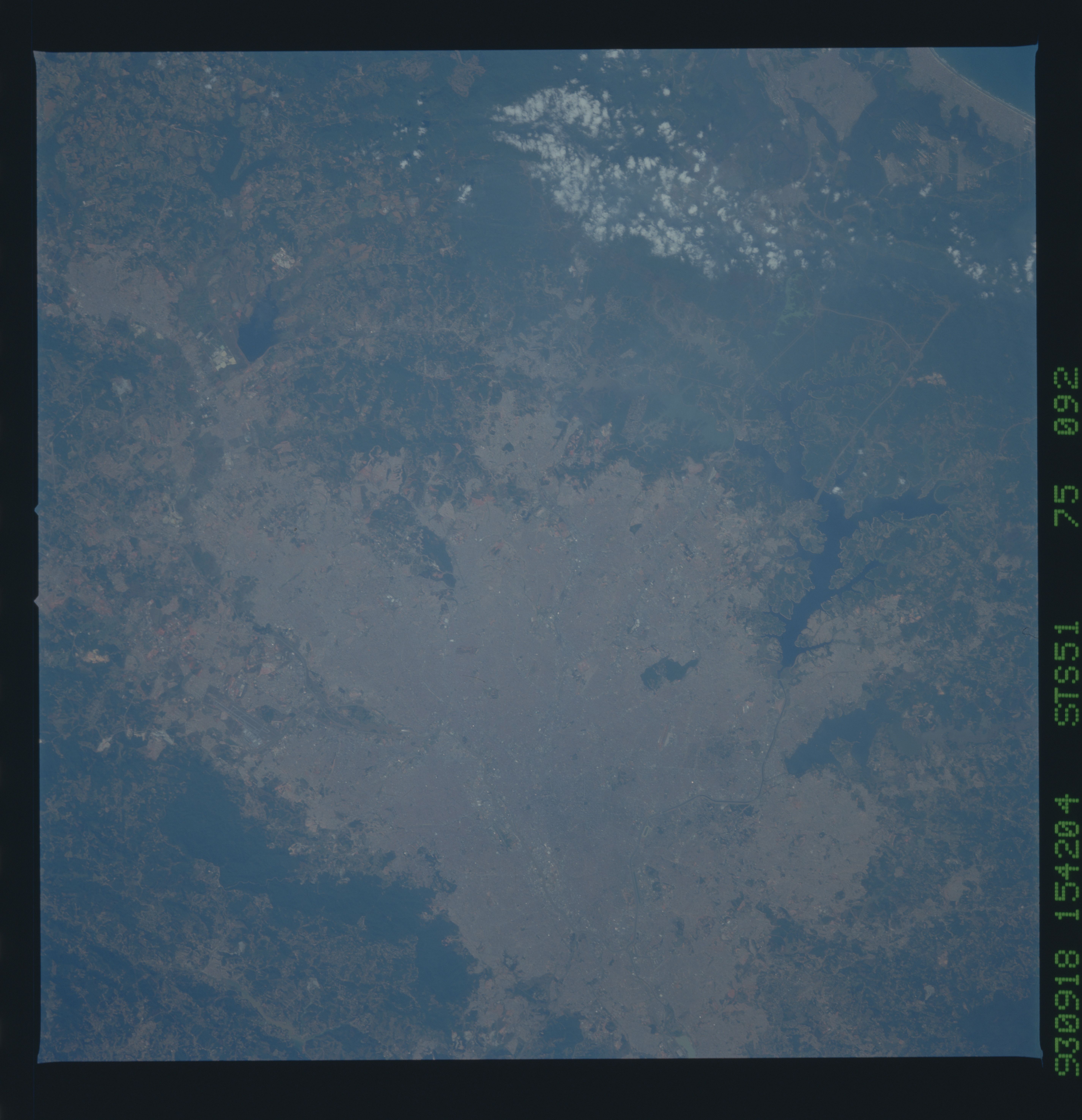
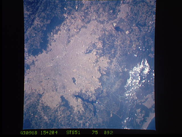
Image Caption: STS051-075-092 Sao Paulo, Brazil September 1993
Sao Paulo, an ultramodern city with more than 20 million people, is the most dynamic and progressive city in South America. Exceeded only by Tokyo and Mexico City, Sao Paulo is the world's third largest concentration of population. Its tropical climate is moderated by its altitude of 2700 feet (824 meters). An indepth identification of much of the city's infrastructure is impossible on this scale; however, several features are visible--Guarulhos International Airport with it parallel runways near the northern edge of the photograph; two smaller airports within the city; a band of commercial structures along the Tiete River (east-west orientation through the northern third of the city); Billings Reservoir, the larger dark body of water along the southern edge of the city; smaller dark reservoirs south-southeast of the city; and the small Cantareira Mountains, trending east-west along the northern edge of the photograph. Separating Sao Paulo from the seaport of Santos are coastal mountains with several ridgelines that exceed 3500 feet (1065 meters).
Sao Paulo, an ultramodern city with more than 20 million people, is the most dynamic and progressive city in South America. Exceeded only by Tokyo and Mexico City, Sao Paulo is the world's third largest concentration of population. Its tropical climate is moderated by its altitude of 2700 feet (824 meters). An indepth identification of much of the city's infrastructure is impossible on this scale; however, several features are visible--Guarulhos International Airport with it parallel runways near the northern edge of the photograph; two smaller airports within the city; a band of commercial structures along the Tiete River (east-west orientation through the northern third of the city); Billings Reservoir, the larger dark body of water along the southern edge of the city; smaller dark reservoirs south-southeast of the city; and the small Cantareira Mountains, trending east-west along the northern edge of the photograph. Separating Sao Paulo from the seaport of Santos are coastal mountains with several ridgelines that exceed 3500 feet (1065 meters).
