STS051-102-82

| NASA Photo ID | STS051-102-82 |
| Focal Length | 250mm |
| Date taken | 1993.09.15 |
| Time taken | 18:11:43 GMT |
Resolutions offered for this image:
3904 x 3904 pixels 639 x 639 pixels 5700 x 5900 pixels 500 x 518 pixels 640 x 480 pixels 967 x 804 pixels
3904 x 3904 pixels 639 x 639 pixels 5700 x 5900 pixels 500 x 518 pixels 640 x 480 pixels 967 x 804 pixels

Cloud masks available for this image:
Spacecraft nadir point: 20.1° N, 154.8° W
Photo center point: 20.0° N, 155.5° W
Photo center point by machine learning:
Photo center point: 20.0° N, 155.5° W
Photo center point by machine learning:
Nadir to Photo Center: West
Spacecraft Altitude: 161 nautical miles (298km)
Camera: | Hasselblad |
Focal Length: | 250mm |
Camera Tilt: | 15 degrees |
Format: | VELVI: Fuji, natural color positive, Velvia 50, CS 135-36, ASA 32, standard base |
Film Exposure: | Normal |
| Additional Information | |
| Width | Height | Annotated | Cropped | Purpose | Links |
|---|---|---|---|---|---|
| 3904 pixels | 3904 pixels | No | No | Earth From Space collection | Download Image |
| 639 pixels | 639 pixels | No | No | Earth From Space collection | Download Image |
| 5700 pixels | 5900 pixels | No | No | Download Image | |
| 500 pixels | 518 pixels | No | No | Download Image | |
| 640 pixels | 480 pixels | No | No | Download Image | |
| 967 pixels | 804 pixels | No | No | Download Image |
Download Packaged File
Download a Google Earth KML for this Image
View photo footprint information
Download a GeoTIFF for this photo
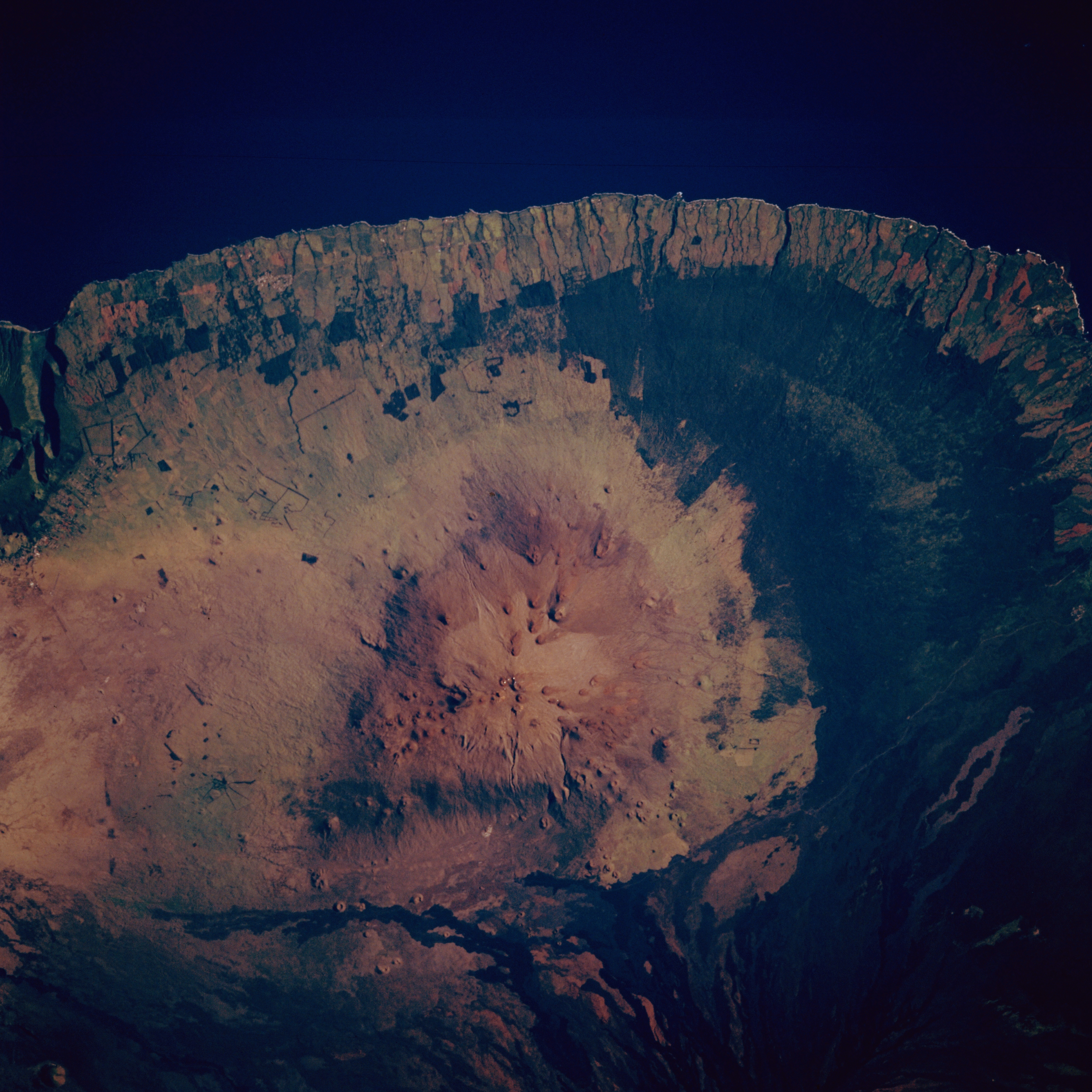
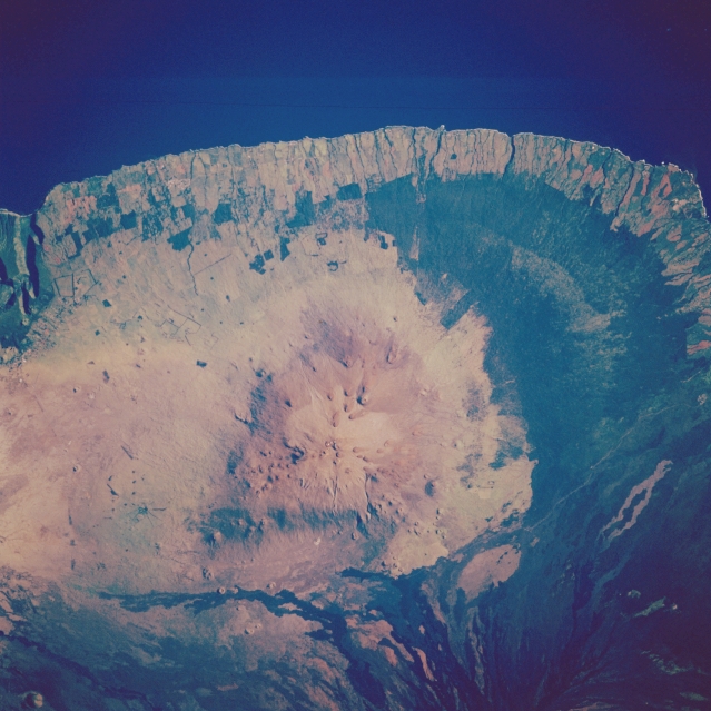
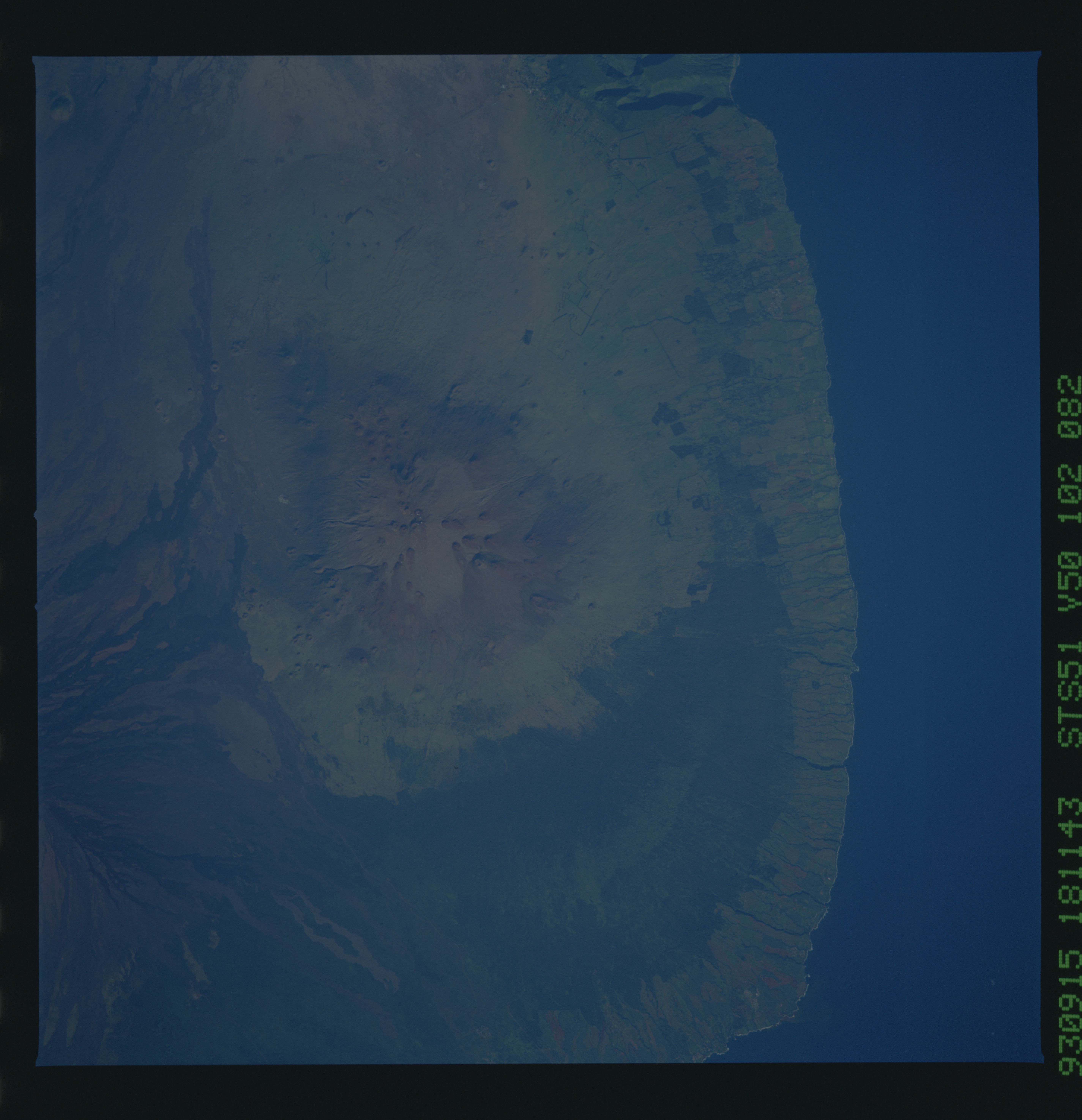
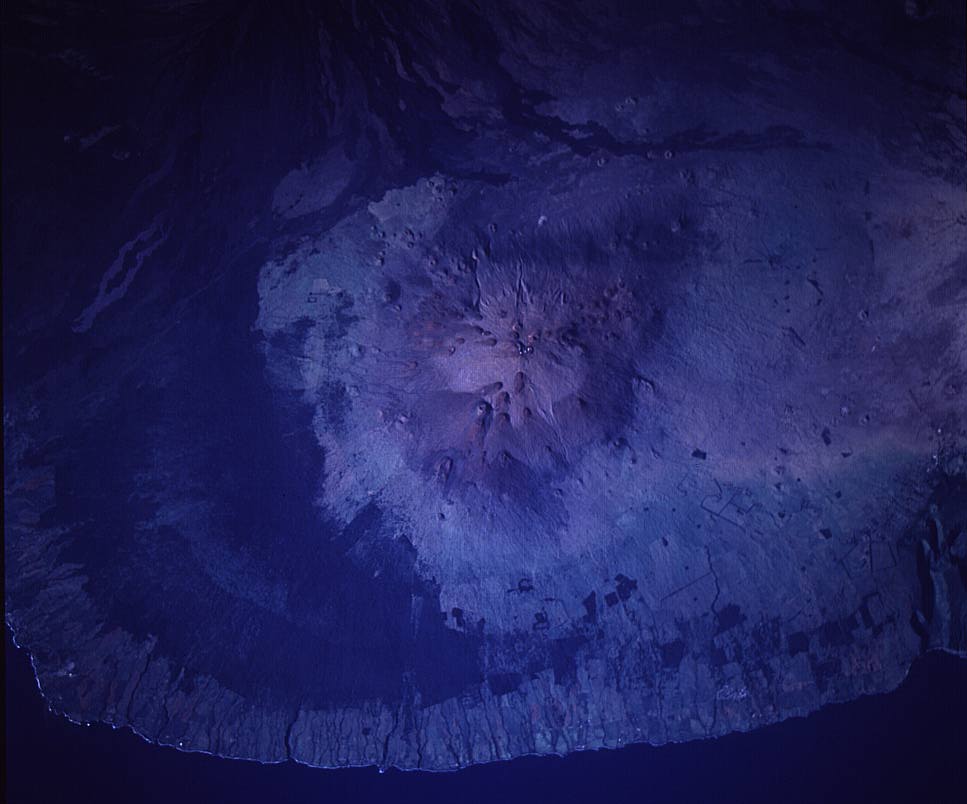
Image Caption: STS051-102-082 Mauna Kea Volcano, Hawaii, U.S.A. September 1993
Mauna Kea Volcano [13 796 feet (4205 meters)], the highest point in the Hawaiian Islands, is featured in this near-vertical photograph. The volcano, near the northern end of the big island of Hawaii, is generally recognized to be 400 000 years old and is one of the youngest shield volcanoes in the chain of islands. Numerous small vent cinder cones are visible on the flanks of the main part of the volcano. Several dark lava flows (black pahoehoe basalt) from Mauna Loa Volcano, just south of Mauna Kea Volcano, appear at the bottom of the image. The large dark green area east of Mauna Kea appears to be undeveloped land with a greater concentration of vegetation covering the landscape.
Mauna Kea Volcano [13 796 feet (4205 meters)], the highest point in the Hawaiian Islands, is featured in this near-vertical photograph. The volcano, near the northern end of the big island of Hawaii, is generally recognized to be 400 000 years old and is one of the youngest shield volcanoes in the chain of islands. Numerous small vent cinder cones are visible on the flanks of the main part of the volcano. Several dark lava flows (black pahoehoe basalt) from Mauna Loa Volcano, just south of Mauna Kea Volcano, appear at the bottom of the image. The large dark green area east of Mauna Kea appears to be undeveloped land with a greater concentration of vegetation covering the landscape.
