STS051-101-65

| NASA Photo ID | STS051-101-65 |
| Focal Length | 100mm |
| Date taken | 1993.09.15 |
| Time taken | 05:09:31 GMT |
Resolutions offered for this image:
3872 x 3904 pixels 634 x 639 pixels 5700 x 5900 pixels 500 x 518 pixels 640 x 480 pixels
3872 x 3904 pixels 634 x 639 pixels 5700 x 5900 pixels 500 x 518 pixels 640 x 480 pixels


Cloud masks available for this image:
Spacecraft nadir point: 26.0° S, 151.5° E
Photo center point: 23.0° S, 151.0° E
Photo center point by machine learning:
Photo center point: 23.0° S, 151.0° E
Photo center point by machine learning:
Nadir to Photo Center: North
Spacecraft Altitude: 161 nautical miles (298km)
Country or Geographic Name: | AUSTRALIA-Q |
Features: | COASTAL BAYS, ISLANDS |
| Features Found Using Machine Learning: | |
Cloud Cover Percentage: | 30 (26-50)% |
Sun Elevation Angle: | 34° |
Sun Azimuth: | 293° |
Camera: | Hasselblad |
Focal Length: | 100mm |
Camera Tilt: | 48 degrees |
Format: | VELVI: Fuji, natural color positive, Velvia 50, CS 135-36, ASA 32, standard base |
Film Exposure: | Normal |
| Additional Information | |
| Width | Height | Annotated | Cropped | Purpose | Links |
|---|---|---|---|---|---|
| 3872 pixels | 3904 pixels | No | No | Earth From Space collection | Download Image |
| 634 pixels | 639 pixels | No | No | Earth From Space collection | Download Image |
| 5700 pixels | 5900 pixels | No | No | Download Image | |
| 500 pixels | 518 pixels | No | No | Download Image | |
| 640 pixels | 480 pixels | No | No | Download Image |
Download Packaged File
Download a Google Earth KML for this Image
View photo footprint information
Download a GeoTIFF for this photo
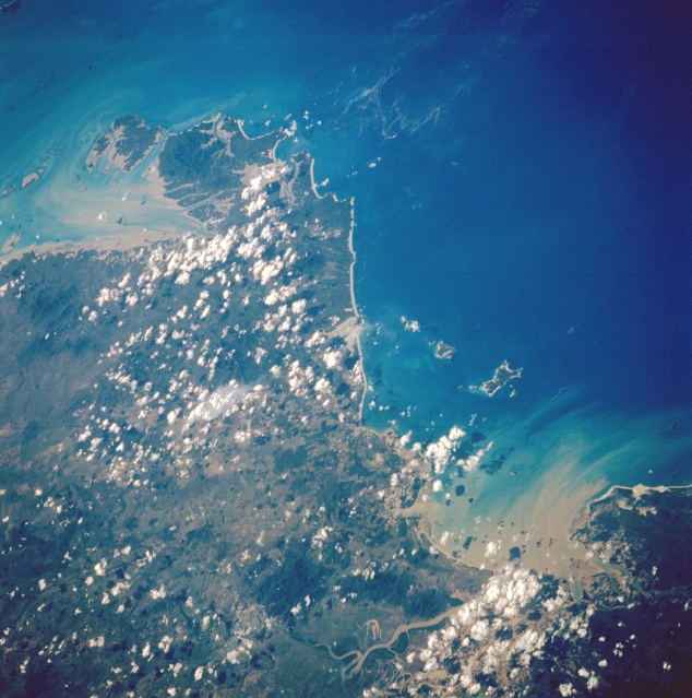
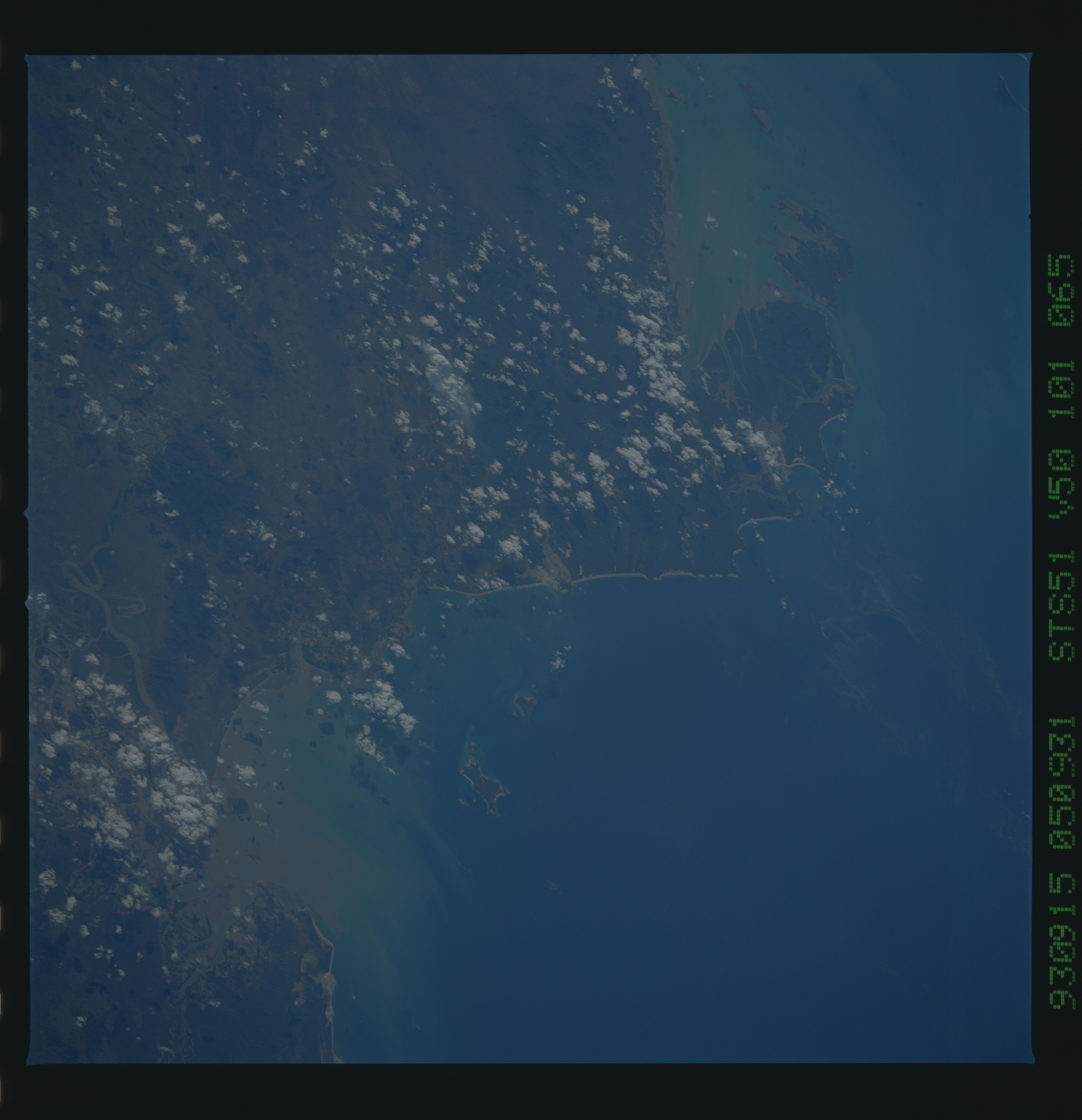
Image Caption: STS051-101-065 Keppel Bay Area, Queensland, Australia September 1993
Although clouds obscure much of the land area along this section of the northeast coast of Queenland, two large sediment plumes are visible in Keppel Bay (bottom right) and Shoalwater Bay (upper left). A very short segment of the muddy looking Fitzroy River (bottom center) that flows through Rockhampton is also visible. There is a faint, light colored pattern in the coastal waters immediately east of Pearl and Freshwater Bays which could be a plankton bloom. The Capricorn Channel which separates this coastal region from the southern end of the Great Barrier Reef is noted for numerous plankton bloom sightings.
Although clouds obscure much of the land area along this section of the northeast coast of Queenland, two large sediment plumes are visible in Keppel Bay (bottom right) and Shoalwater Bay (upper left). A very short segment of the muddy looking Fitzroy River (bottom center) that flows through Rockhampton is also visible. There is a faint, light colored pattern in the coastal waters immediately east of Pearl and Freshwater Bays which could be a plankton bloom. The Capricorn Channel which separates this coastal region from the southern end of the Great Barrier Reef is noted for numerous plankton bloom sightings.
