STS050-85-37

| NASA Photo ID | STS050-85-37 |
| Focal Length | 100mm |
| Date taken | 1992.06.28 |
| Time taken | 09:11:34 GMT |
Cloud masks available for this image:
Spacecraft nadir point: 23.9° N, 39.8° E
Photo center point: 22.0° N, 39.0° E
Photo center point by machine learning:
Photo center point: 22.0° N, 39.0° E
Photo center point by machine learning:
Nadir to Photo Center: South
Spacecraft Altitude: 163 nautical miles (302km)
Country or Geographic Name: | SAUDI ARABIA |
Features: | SANDSTORM |
| Features Found Using Machine Learning: | |
Cloud Cover Percentage: | 10 (1-10)% |
Sun Elevation Angle: | 87° |
Sun Azimuth: | 100° |
Camera: | Hasselblad |
Focal Length: | 100mm |
Camera Tilt: | High Oblique |
Format: | 5017: Kodak, natural color positive, Ektachrome, X Professional, ASA 64, standard base |
Film Exposure: | Normal |
| Additional Information | |
| Width | Height | Annotated | Cropped | Purpose | Links |
|---|---|---|---|---|---|
| 5700 pixels | 6000 pixels | No | No | Download Image | |
| 500 pixels | 526 pixels | No | No | Download Image | |
| 640 pixels | 480 pixels | No | No | Download Image |
Download Packaged File
Download a Google Earth KML for this Image
View photo footprint information
Download a GeoTIFF for this photo
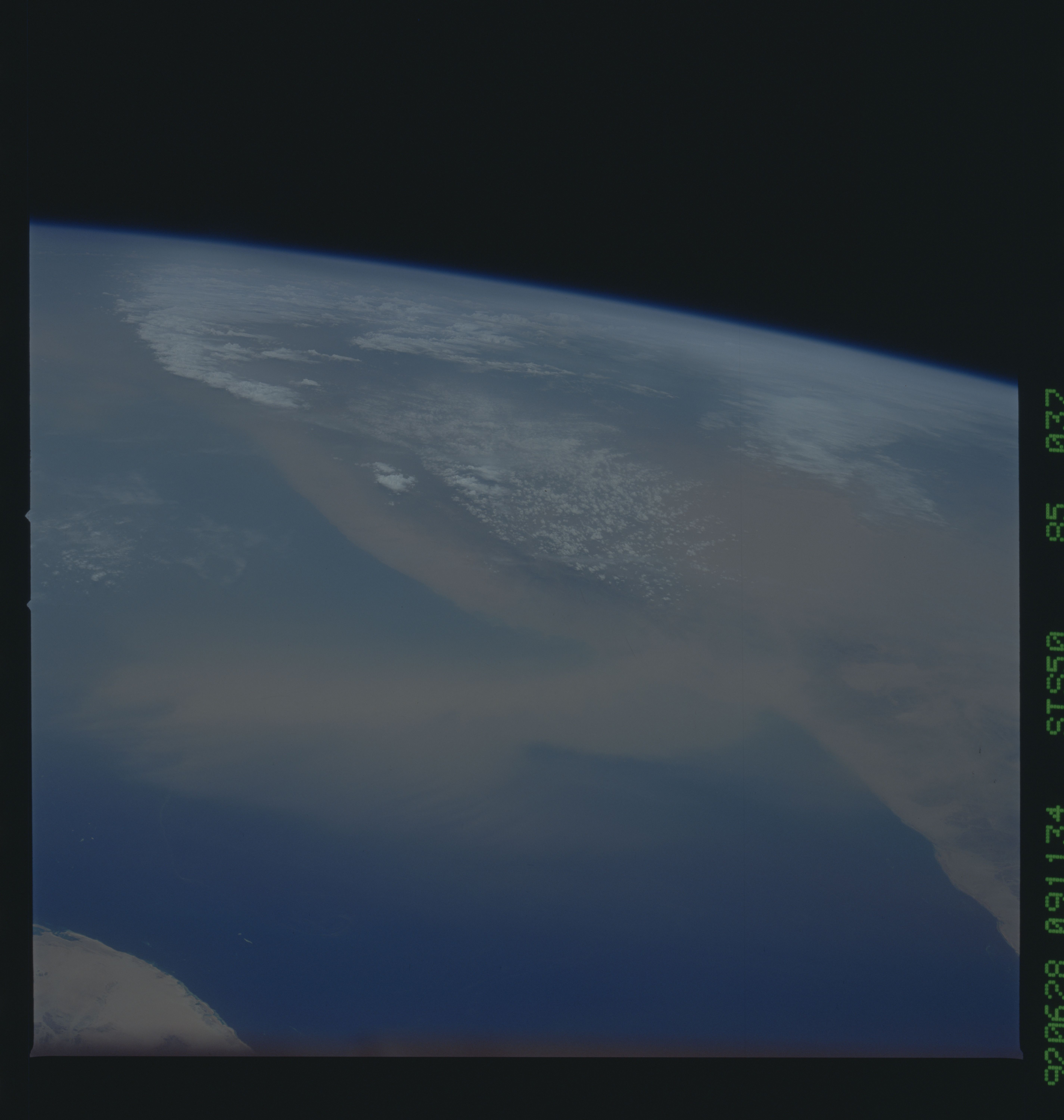
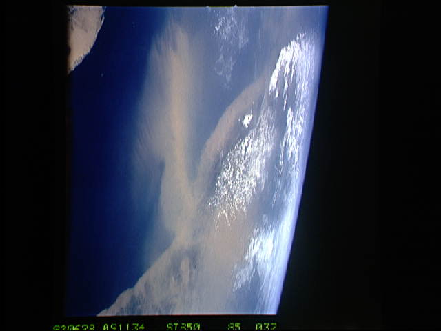
Image Caption: Outlined against the dark blue water of the Red Sea, a prominent dust storm is making its way across the Red Sea into Saudi Arabia (22.0N, 39.0E) between the Islamic holy cities of Medinah and Mecca. Funneled through a gap in the coastal ranges of southern Sudan near the Ethiopian border, dust storms frequently will blow counter to the prevailing tropical easterly winds of the region.
