STS049-97-N
| NASA Photo ID | STS049-97-N |
| Focal Length | 250mm |
| Date taken | 1992.05.12 |
| Time taken | GMT |
Resolutions offered for this image:
3904 x 3904 pixels 639 x 639 pixels 5700 x 6000 pixels 500 x 526 pixels 640 x 480 pixels
3904 x 3904 pixels 639 x 639 pixels 5700 x 6000 pixels 500 x 526 pixels 640 x 480 pixels

Cloud masks available for this image:
Spacecraft nadir point:
Photo center point: 29.5° N, 98.5° W
Photo center point by machine learning:
Photo center point: 29.5° N, 98.5° W
Photo center point by machine learning:
Nadir to Photo Center:
Spacecraft Altitude: nautical miles (0km)
Country or Geographic Name: | USA-TEXAS |
Features: | SAN ANTONIO |
| Features Found Using Machine Learning: | |
Cloud Cover Percentage: | 5 (1-10)% |
Sun Elevation Angle: | ° |
Sun Azimuth: | ° |
Camera: | Hasselblad |
Focal Length: | 250mm |
Camera Tilt: | Low Oblique |
Format: | 5017: Kodak, natural color positive, Ektachrome, X Professional, ASA 64, standard base |
Film Exposure: | Normal |
| Additional Information | |
| Width | Height | Annotated | Cropped | Purpose | Links |
|---|---|---|---|---|---|
| 3904 pixels | 3904 pixels | No | No | Earth From Space collection | Download Image |
| 639 pixels | 639 pixels | No | No | Earth From Space collection | Download Image |
| 5700 pixels | 6000 pixels | No | No | Download Image | |
| 500 pixels | 526 pixels | No | No | Download Image | |
| 640 pixels | 480 pixels | No | No | Download Image |
Download Packaged File
Download a Google Earth KML for this Image
View photo footprint information
Download a GeoTIFF for this photo
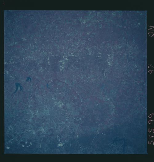
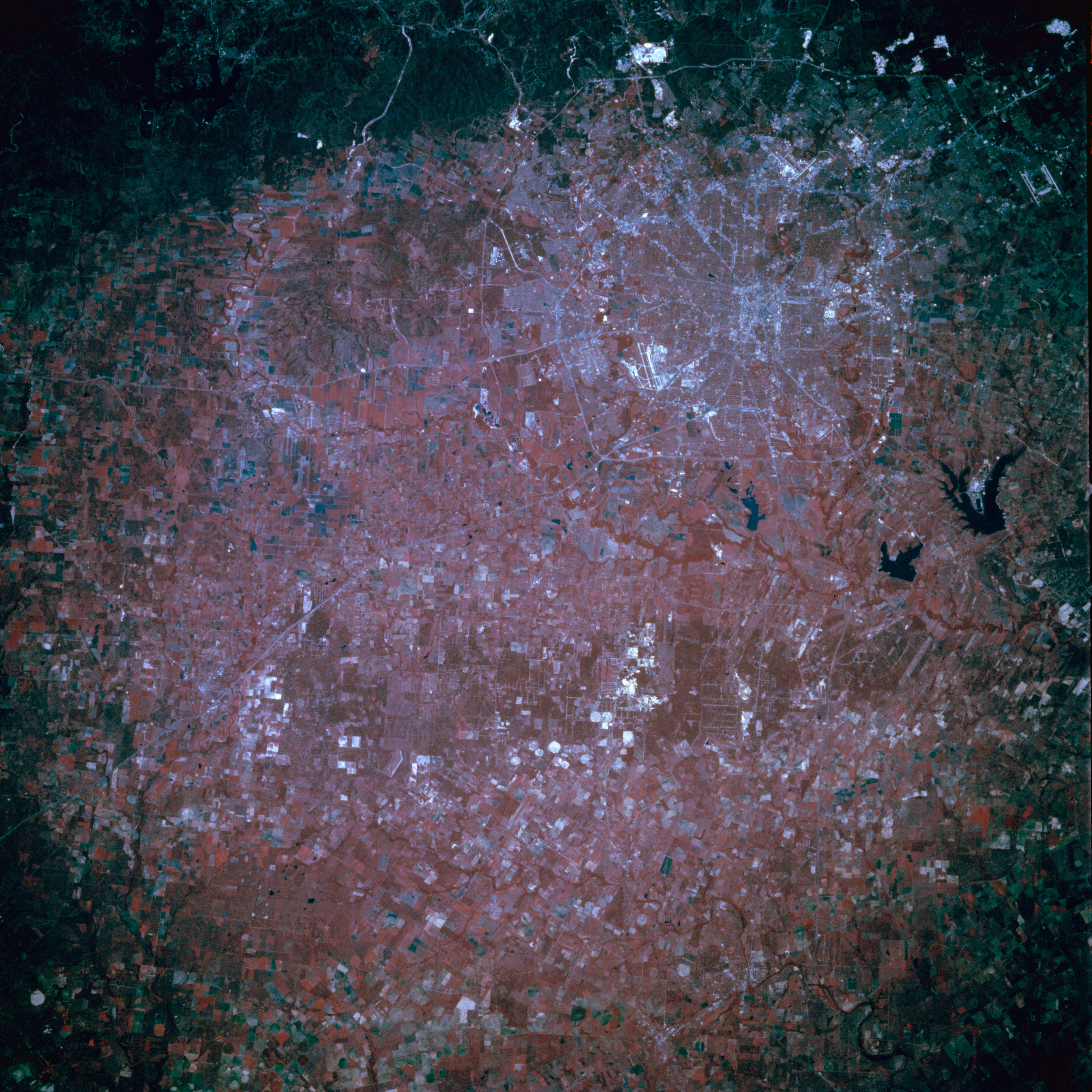
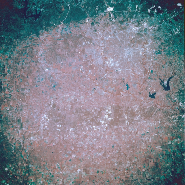
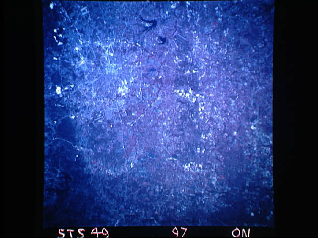
Image Caption: STS049-97-N San Antonio, Texas, U.S.A. May 1992
The outline of urban San Antonio, barely discernible in this color-infrared photograph (upper right quadrant), shows Texas Highway 1604 (the thin line that encircles the northern part of the city) and parts of Interstate Highway 410 (the inner loop, which traverses rolling terrain, especially along the southern edge of the city). Within the center of these highway systems lies the central business district. North of the city (top of photograph) is the dark Balcones fault system (the uplifted balcony) with white spots marking several quarries that produce limestone for cement and road gravel. Visible are three of the city's airports--Randolph Air Force Base with its dual runways (northeast); San Antonio International Airport, north of downtown; and Kelly Air Force Base southwest of downtown--and three lakes south-southeast of the city--large Calaveras Lake; Braunig Lake; and Mitchell Lake, the smallest. Apparent west of the city are rural Medina Valley, a region of rich soils and abundant crops, and the main channel of the Medina River as it loops around and turns eastward, and to the south is the low, rolling topography of sandy soils, sand hills, and mudstone beds.
The outline of urban San Antonio, barely discernible in this color-infrared photograph (upper right quadrant), shows Texas Highway 1604 (the thin line that encircles the northern part of the city) and parts of Interstate Highway 410 (the inner loop, which traverses rolling terrain, especially along the southern edge of the city). Within the center of these highway systems lies the central business district. North of the city (top of photograph) is the dark Balcones fault system (the uplifted balcony) with white spots marking several quarries that produce limestone for cement and road gravel. Visible are three of the city's airports--Randolph Air Force Base with its dual runways (northeast); San Antonio International Airport, north of downtown; and Kelly Air Force Base southwest of downtown--and three lakes south-southeast of the city--large Calaveras Lake; Braunig Lake; and Mitchell Lake, the smallest. Apparent west of the city are rural Medina Valley, a region of rich soils and abundant crops, and the main channel of the Medina River as it loops around and turns eastward, and to the south is the low, rolling topography of sandy soils, sand hills, and mudstone beds.
