STS049-96-70
| NASA Photo ID | STS049-96-70 |
| Focal Length | 250mm |
| Date taken | 1992.05.16 |
| Time taken | 02:18:17 GMT |

Cloud masks available for this image:
Spacecraft nadir point: 16.8° N, 120.2° E
Photo center point: 17.5° N, 120.5° E
Photo center point by machine learning:
Photo center point: 17.5° N, 120.5° E
Photo center point by machine learning:
Nadir to Photo Center: North
Spacecraft Altitude: 192 nautical miles (356km)
Country or Geographic Name: | PHILIPPINES |
Features: | MTS, VIGAN AREA, COAST |
| Features Found Using Machine Learning: | |
Cloud Cover Percentage: | 20 (11-25)% |
Sun Elevation Angle: | 67° |
Sun Azimuth: | 80° |
Camera: | Hasselblad |
Focal Length: | 250mm |
Camera Tilt: | 13 degrees |
Format: | 5017: Kodak, natural color positive, Ektachrome, X Professional, ASA 64, standard base |
Film Exposure: | Normal |
| Additional Information | |
| Width | Height | Annotated | Cropped | Purpose | Links |
|---|---|---|---|---|---|
| 5700 pixels | 6000 pixels | No | No | Download Image | |
| 500 pixels | 526 pixels | No | No | Download Image | |
| 640 pixels | 480 pixels | No | No | Download Image |
Download Packaged File
Download a Google Earth KML for this Image
View photo footprint information
Download a GeoTIFF for this photo
Image Caption:
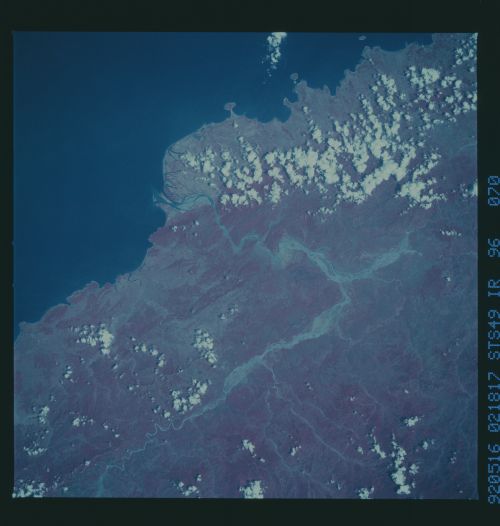
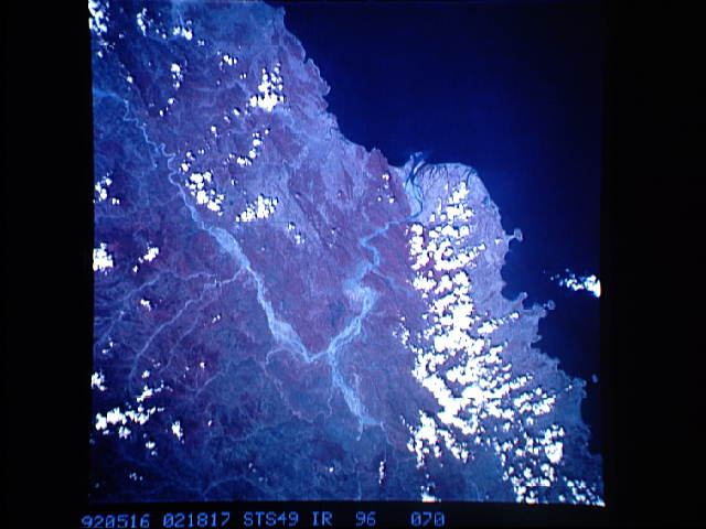
STS49-96-070: Luzon Coast The Tineg River at Vigan, northwestern
Luzon, Philippine Islands, was caught in flood. Sediment and wa-
ter form a braided pattern in major stream beds. Remnant closed-
canopy forest is shown in purplish-red tones on the hills; the
topographic pattern suggests folded and faulted rocks underlying
the hills. This is one frame of several that cover northwestern
Luzon from Manila Bay, through the Lingayan Gulf, into the Cgayan
River valley. Hasselblad camera, 250mm lens, color-infrared
film.
