STS049-96-32
| NASA Photo ID | STS049-96-32 |
| Focal Length | 250mm |
| Date taken | 1992.05.15 |
| Time taken | 08:09:14 GMT |
Cloud masks available for this image:
Spacecraft nadir point: 26.2° N, 69.9° E
Photo center point:
Photo center point by machine learning:
Photo center point:
Photo center point by machine learning:
Nadir to Photo Center:
Spacecraft Altitude: 188 nautical miles (348km)
Country or Geographic Name: | INDIA |
Features: | THAR DESERT, CANALS, RIVER |
| Features Found Using Machine Learning: | |
Cloud Cover Percentage: | 0 (no clouds present) |
Sun Elevation Angle: | 76° |
Sun Azimuth: | 242° |
Camera: | Hasselblad |
Focal Length: | 250mm |
Camera Tilt: | Low Oblique |
Format: | 5017: Kodak, natural color positive, Ektachrome, X Professional, ASA 64, standard base |
Film Exposure: | Under Exposed |
| Additional Information | |
| Width | Height | Annotated | Cropped | Purpose | Links |
|---|---|---|---|---|---|
| 5700 pixels | 6000 pixels | No | No | Download Image | |
| 500 pixels | 526 pixels | No | No | Download Image | |
| 640 pixels | 480 pixels | No | No | Download Image |
Download Packaged File
Download a Google Earth KML for this Image
View photo footprint information
Download a GeoTIFF for this photo
Image Caption:
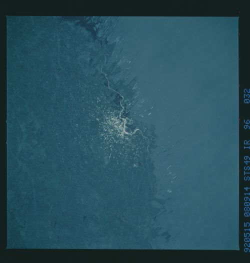
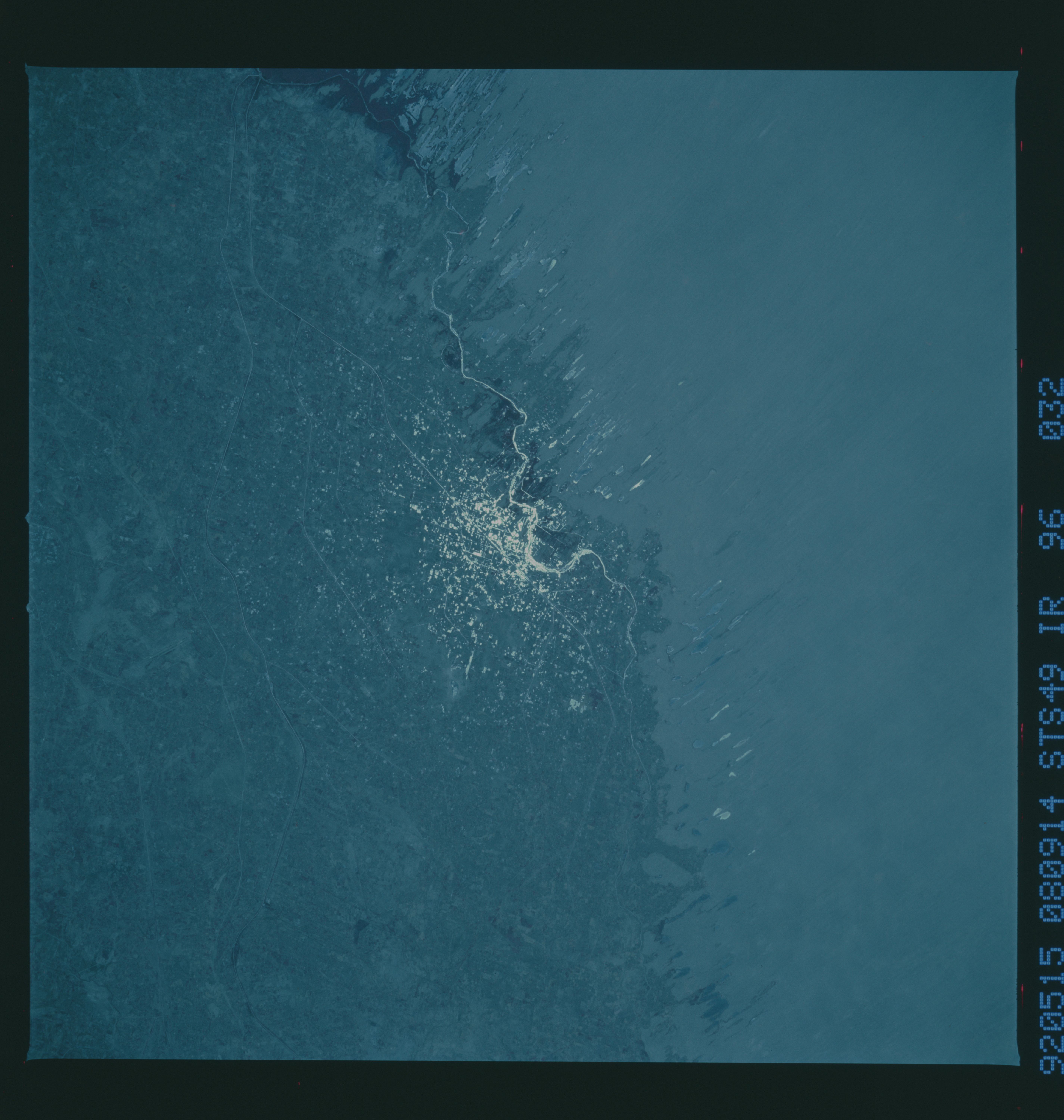
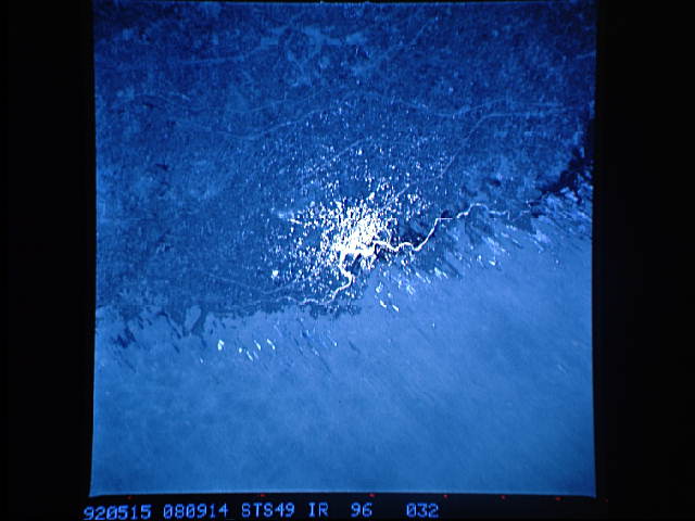
STS49-96-032: Indus River Agriculture Sunglint on numerous agri-
cultural canals, dams and small rural tanks shows dramatically
the edge of the heavily populated Indus River valley in Pakistan,
as contrasted with the waterless sand-dune country of the Thar
Desert.
STS49-96-032: Indus River Agriculture Sunglint on numerous agri-
cultural canals, dams and small rural tanks shows dramatically
the edge of the heavily populated Indus River valley in Pakistan,
as contrasted with the waterless sand-dune country of the Thar
Desert.
