STS049-85-68

| NASA Photo ID | STS049-85-68 |
| Focal Length | 50mm |
| Date taken | 1992.05.12 |
| Time taken | 01:59:57 GMT |

Cloud masks available for this image:
Spacecraft nadir point: 7.0° S, 110.8° E
Photo center point: 7.0° S, 110.5° E
Photo center point by machine learning:
Photo center point: 7.0° S, 110.5° E
Photo center point by machine learning:
Nadir to Photo Center: West
Spacecraft Altitude: 199 nautical miles (369km)
Camera: | Hasselblad |
Focal Length: | 50mm |
Camera Tilt: | 5 degrees |
Format: | 5017: Kodak, natural color positive, Ektachrome, X Professional, ASA 64, standard base |
Film Exposure: | Normal |
| Additional Information | |
| Width | Height | Annotated | Cropped | Purpose | Links |
|---|---|---|---|---|---|
| 5700 pixels | 6000 pixels | No | No | Download Image | |
| 500 pixels | 526 pixels | No | No | Download Image | |
| 640 pixels | 480 pixels | No | No | Download Image |
Download Packaged File
Download a Google Earth KML for this Image
View photo footprint information
Download a GeoTIFF for this photo
Image Caption:
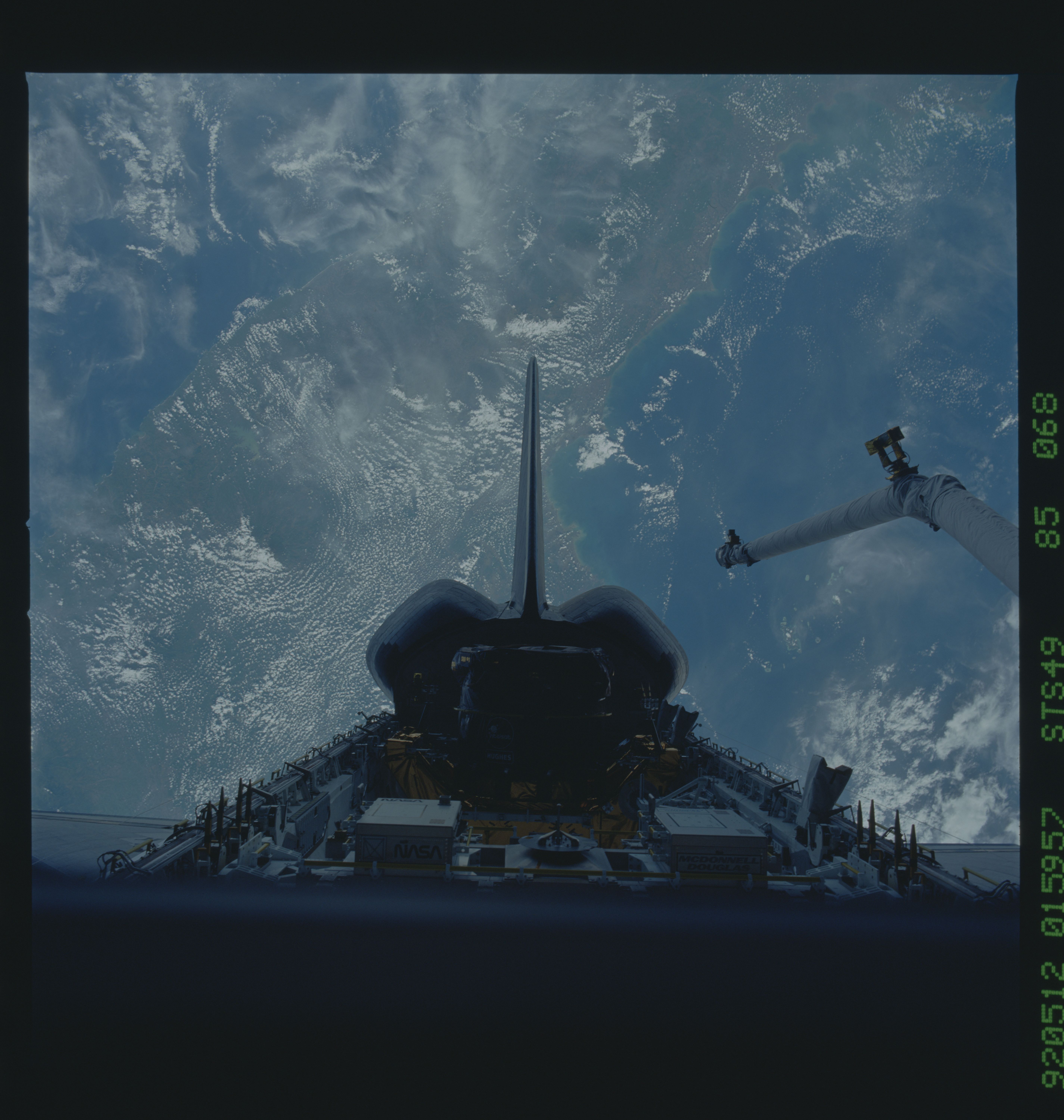
STS49-85-068: Local Winds Dominate Flow This scene views the is-
land of Java in the Indonesian chain. The normal easterly wind
directions are being modified by several local effects creating
the strange curved cloud street patterns. The wind direction is
being influenced by sea breezes from both sides of Java and by
the winds forced to rise up and around the islandUs mountains
(orographic and afternoon heating). (Picture was taken on May
12th, 1992 at 01:59:57GMT, Space Shuttle located at 9.39S
106.54E)
