STS048-77-63
| NASA Photo ID | STS048-77-63 |
| Focal Length | 250mm |
| Date taken | 1991.09.16 |
| Time taken | 13:21:22 GMT |
Cloud masks available for this image:
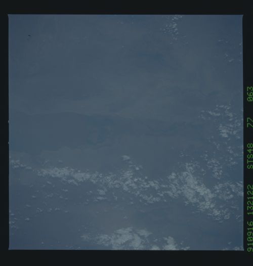
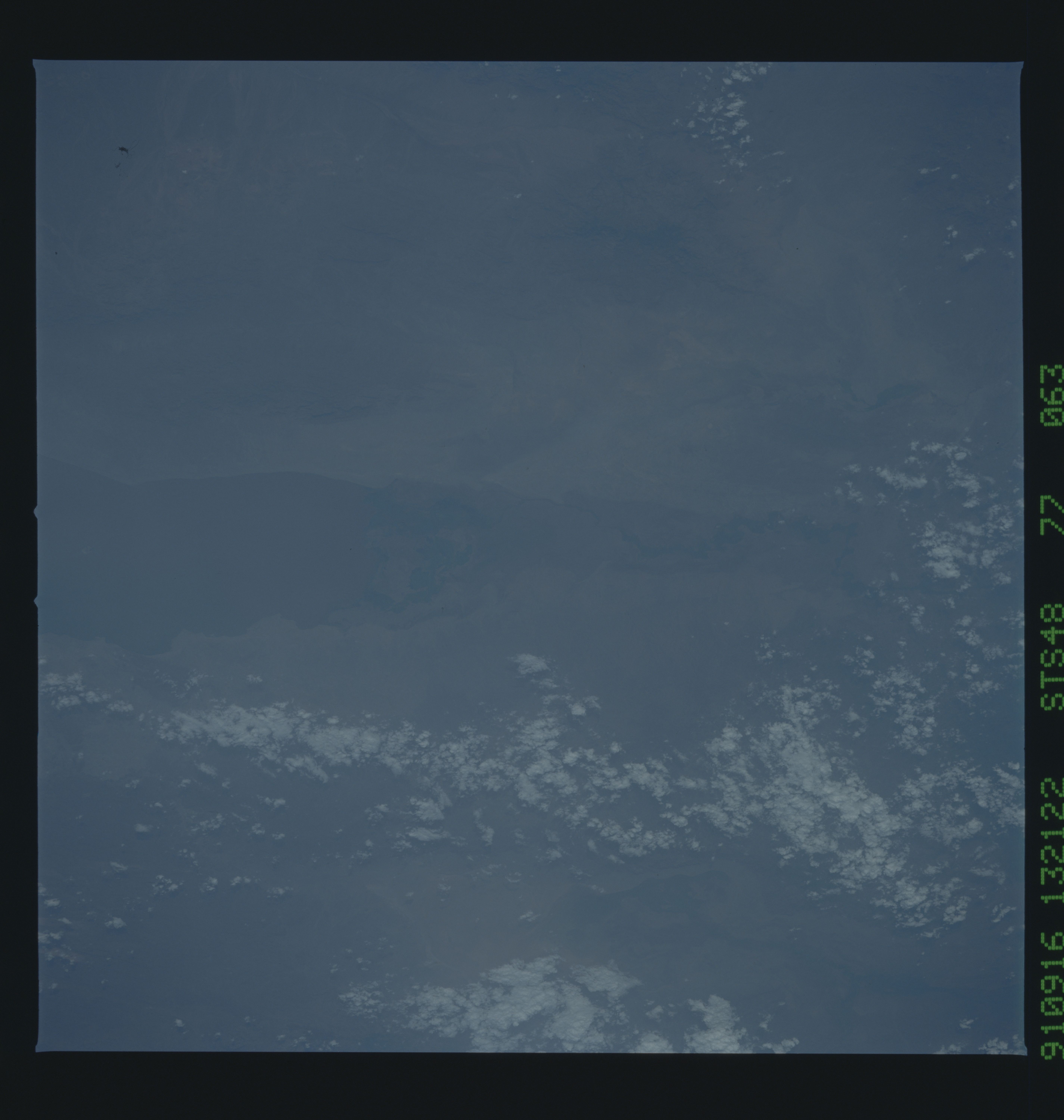
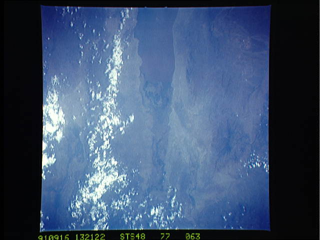
Spacecraft nadir point: 4.3° N, 32.3° E
Photo center point: 4.5° N, 36.0° E
Photo center point by machine learning:
Photo center point: 4.5° N, 36.0° E
Photo center point by machine learning:
Nadir to Photo Center: East
Spacecraft Altitude: 304 nautical miles (563km)
Country or Geographic Name: | ETHIOPIA |
Features: | OMO RIVER DELTA |
| Features Found Using Machine Learning: | |
Cloud Cover Percentage: | 20 (11-25)% |
Sun Elevation Angle: | 9° |
Sun Azimuth: | 266° |
Camera: | Hasselblad |
Focal Length: | 250mm |
Camera Tilt: | 36 degrees |
Format: | 5017: Kodak, natural color positive, Ektachrome, X Professional, ASA 64, standard base |
Film Exposure: | Normal |
| Additional Information | |
| Width | Height | Annotated | Cropped | Purpose | Links |
|---|---|---|---|---|---|
| 5700 pixels | 6000 pixels | No | No | Download Image | |
| 500 pixels | 526 pixels | No | No | Download Image | |
| 640 pixels | 480 pixels | No | No | Download Image |
Download Packaged File
Download a Google Earth KML for this Image
View photo footprint information
Download a GeoTIFF for this photo
Image Caption: As a result of land clearing operations in the local area, the Omo River Delta (4.5N, 36.0E) at the north end of Lake Turkana, on the Ethiopia/Kenya border has become enlarged through topsoil erosion. The delta measured 800 sq. km. in 1981 doubled to 1,600 sq. km. by 1988 and was up to 1,800 sq. km. in 1991. This is the same area where the Leaky Anthropological Team discovered the earliest remains of human ancestors.
