STS048-616-42
| NASA Photo ID | STS048-616-42 |
| Focal Length | 250mm |
| Date taken | 1991.09.16 |
| Time taken | 05:15:00 GMT |
Resolutions offered for this image:
5700 x 6000 pixels 500 x 526 pixels 640 x 480 pixels 3708 x 5213 pixels 683 x 960 pixels
5700 x 6000 pixels 500 x 526 pixels 640 x 480 pixels 3708 x 5213 pixels 683 x 960 pixels

Cloud masks available for this image:
Spacecraft nadir point: 16.4° S, 141.7° E
Photo center point: 17.0° S, 146.5° E
Photo center point by machine learning:
Photo center point: 17.0° S, 146.5° E
Photo center point by machine learning:
Nadir to Photo Center: East
Spacecraft Altitude: 306 nautical miles (567km)
Country or Geographic Name: | AUSTRALIA-Q |
Features: | CAIRNES AREA WITH REEFS |
| Features Found Using Machine Learning: | |
Cloud Cover Percentage: | 0 (no clouds present) |
Sun Elevation Angle: | 28° |
Sun Azimuth: | 266° |
Camera: | Rolleiflex |
Focal Length: | 250mm |
Camera Tilt: | 44 degrees |
Format: | 5017: Kodak, natural color positive, Ektachrome, X Professional, ASA 64, standard base |
Film Exposure: | Normal |
| Additional Information | |
| Width | Height | Annotated | Cropped | Purpose | Links |
|---|---|---|---|---|---|
| 5700 pixels | 6000 pixels | No | No | Download Image | |
| 500 pixels | 526 pixels | No | No | Download Image | |
| 640 pixels | 480 pixels | No | No | Download Image | |
| 3708 pixels | 5213 pixels | ReefBase pilot | Download Image | ||
| 683 pixels | 960 pixels | Yes | No | Download Image |
Download Packaged File
Download a Google Earth KML for this Image
View photo footprint information
Download a GeoTIFF for this photo
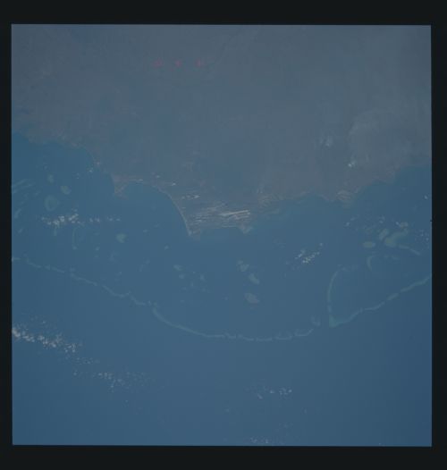
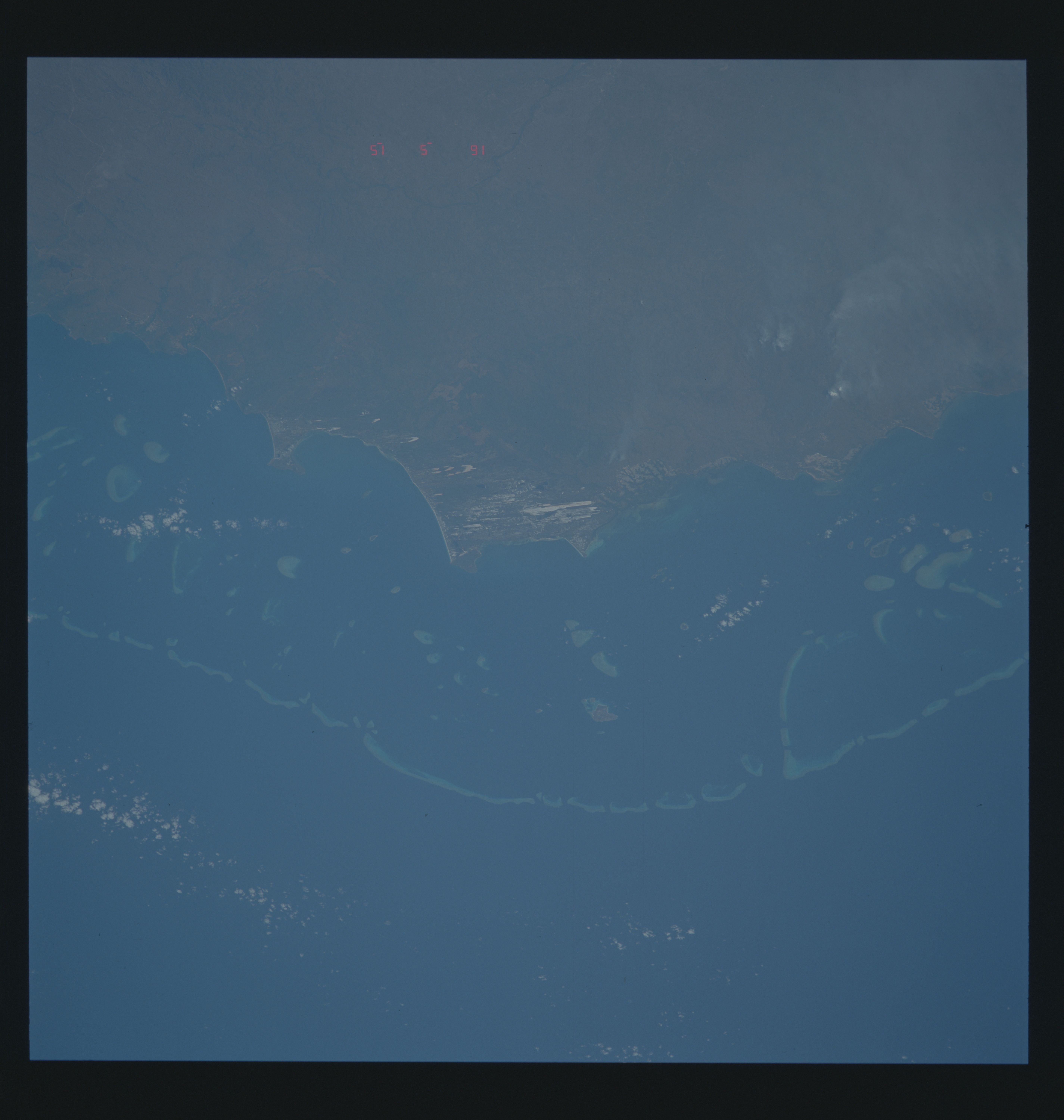
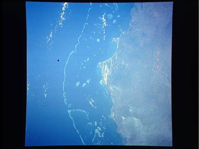
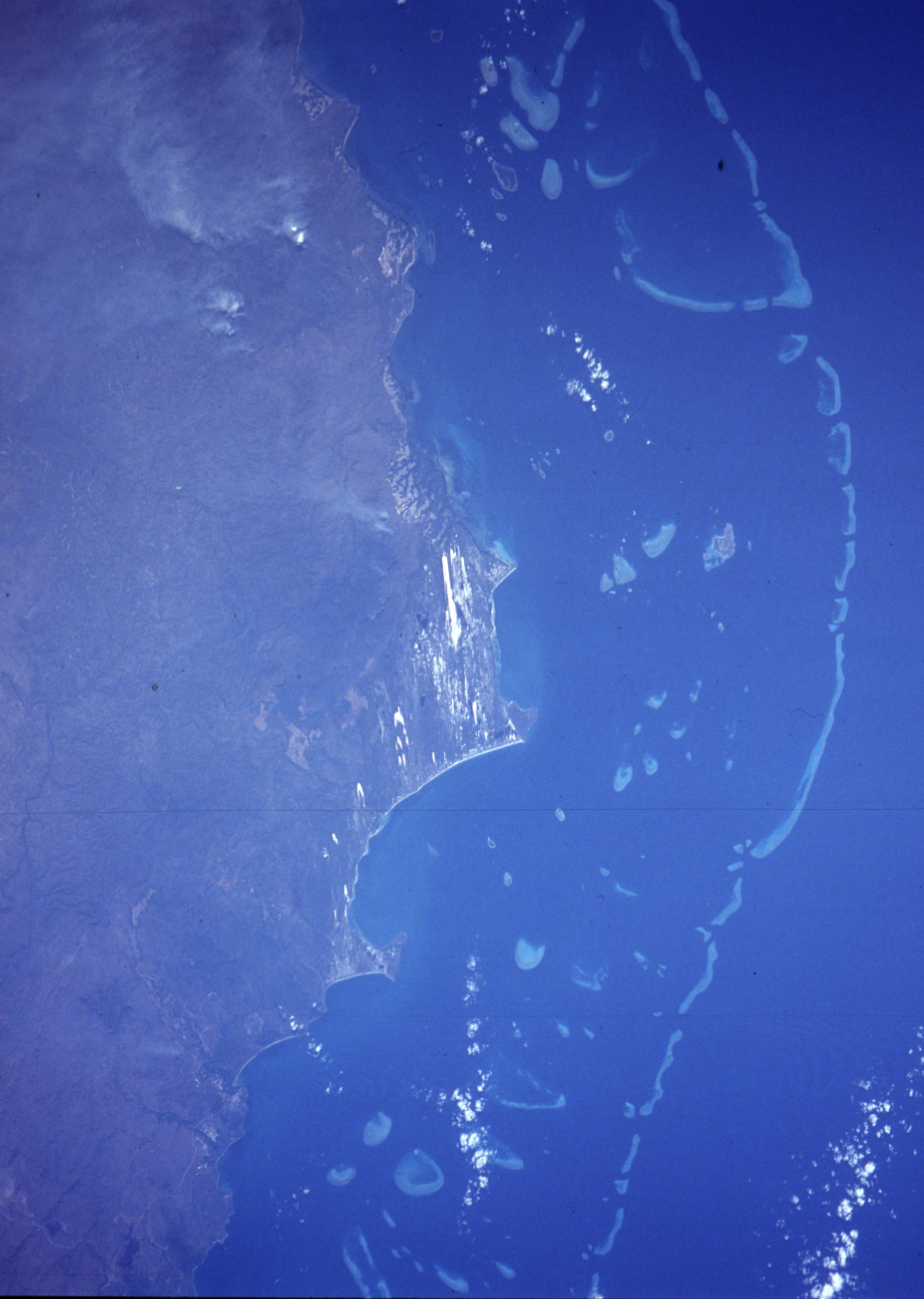
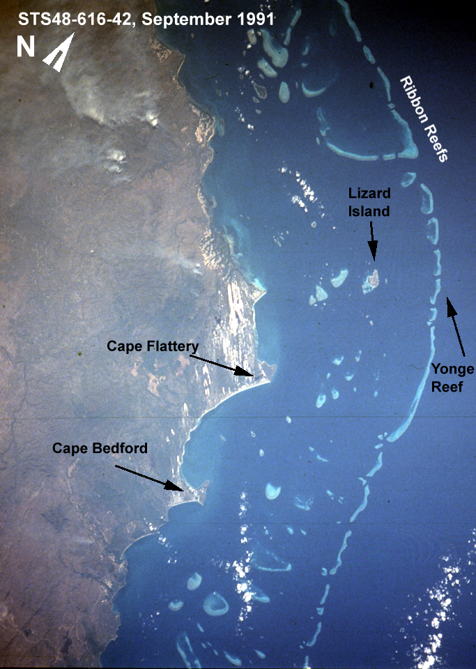
Image Caption: Great Barrier Reef between 14 and 16 degrees South latitude. Prominent point is Cape Flattery, with Lizard Island offshore and hooked Jewell/Waining Reefs further offshore. Cooktown, Queensland, is at the base of the frame onshore from the three round reefs.
