STS048-614-52
| NASA Photo ID | STS048-614-52 |
| Focal Length | 250mm |
| Date taken | 1991.09.15 |
| Time taken | 12:00:00 GMT |
Cloud masks available for this image:
Spacecraft nadir point: 45.4° N, 96.1° E
Photo center point: 47.5° N, 81.0° E
Photo center point by machine learning:
Photo center point: 47.5° N, 81.0° E
Photo center point by machine learning:
Nadir to Photo Center: West
Spacecraft Altitude: 310 nautical miles (574km)
Country or Geographic Name: | KAZAKHSTAN |
Features: | LAKE BALKHASH |
| Features Found Using Machine Learning: | |
Cloud Cover Percentage: | 20 (11-25)% |
Sun Elevation Angle: | -20° |
Sun Azimuth: | 310° |
Camera: | Rolleiflex |
Focal Length: | 250mm |
Camera Tilt: | High Oblique |
Format: | 5017: Kodak, natural color positive, Ektachrome, X Professional, ASA 64, standard base |
Film Exposure: | Over Exposed |
| Additional Information | |
| Width | Height | Annotated | Cropped | Purpose | Links |
|---|---|---|---|---|---|
| 5700 pixels | 6000 pixels | No | No | Download Image | |
| 500 pixels | 526 pixels | No | No | Download Image | |
| 640 pixels | 480 pixels | No | No | Download Image |
Download Packaged File
Download a Google Earth KML for this Image
View photo footprint information
Download a GeoTIFF for this photo
Image Caption:
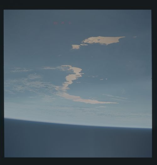
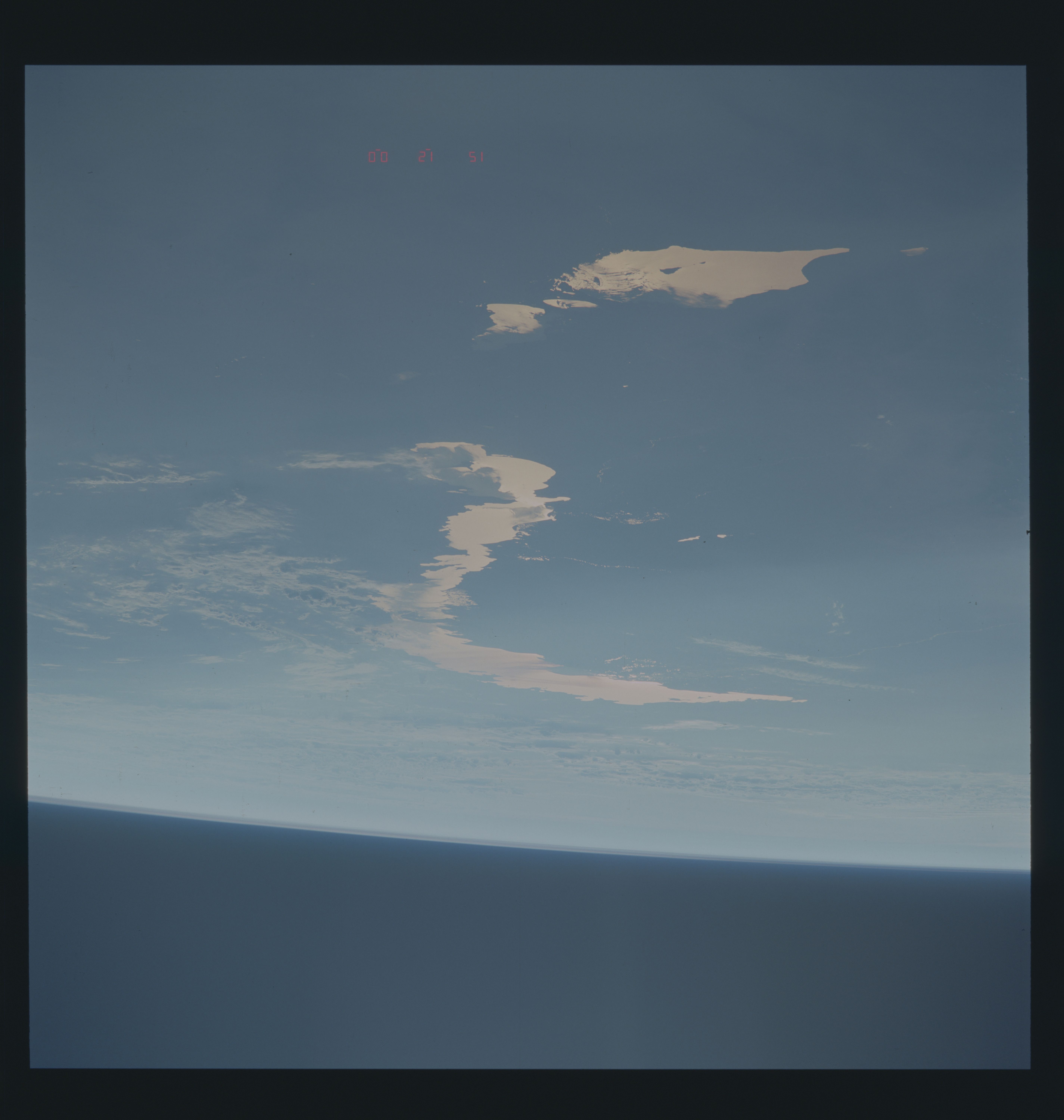
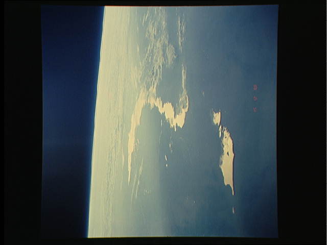
S48-614-52: Lake Balkhash, USSR, seen from east to west. Essen-
tially looking from the Takla Makan and Pamirs looking back to-
ward the Syr Dar'ya Valley. What is this stuff there? Darned if
I know, no ground data. Is it smoke from the Kuwaiti hellfires?
Perhaps to some extent. Urban pollution, almost assuredly not.
Alms Ata is the biggest city around the joint here, and it's most
famous for delicious apples, ladies, and the old Soviet Olympic
training camp. Is it haze from Pinatubo? Partially I suspect.
Is it the result of burning slopping smoke over the Himalayas to
the south? I find that concept a bit mind-boggling. Is it the
result of the normal Chinese pall resulting from their awful
burning of animal dung, soft coal, peat, and just exhaling from
too many bodies? To some extent I imagine. Regardless of the
cause(s) (and it should be thought of as causes), this pall
stretched from coastal China through the entire Yangtze and Hwang
Ho Basins, across the Folded Ranges and Himalayas into Afghanis-
tan and Pakistan. The area covered by the pall was no less than
3.3 million square miles (conservative estimate). This area esti-
mate makes this the largest contiguous atmospheric pall ever do-
cumented during the Space Shuttle Program. The 1988 Canadian
forest fire smoke pall was about 2.5 million square miles; most
Amazonian smoke palls run about 1-2.5 million square miles.
