STS048-602-1
| NASA Photo ID | STS048-602-1 |
| Focal Length | 250mm |
| Date taken | 1991.09.13 |
| Time taken | 19:43:00 GMT |
Cloud masks available for this image:
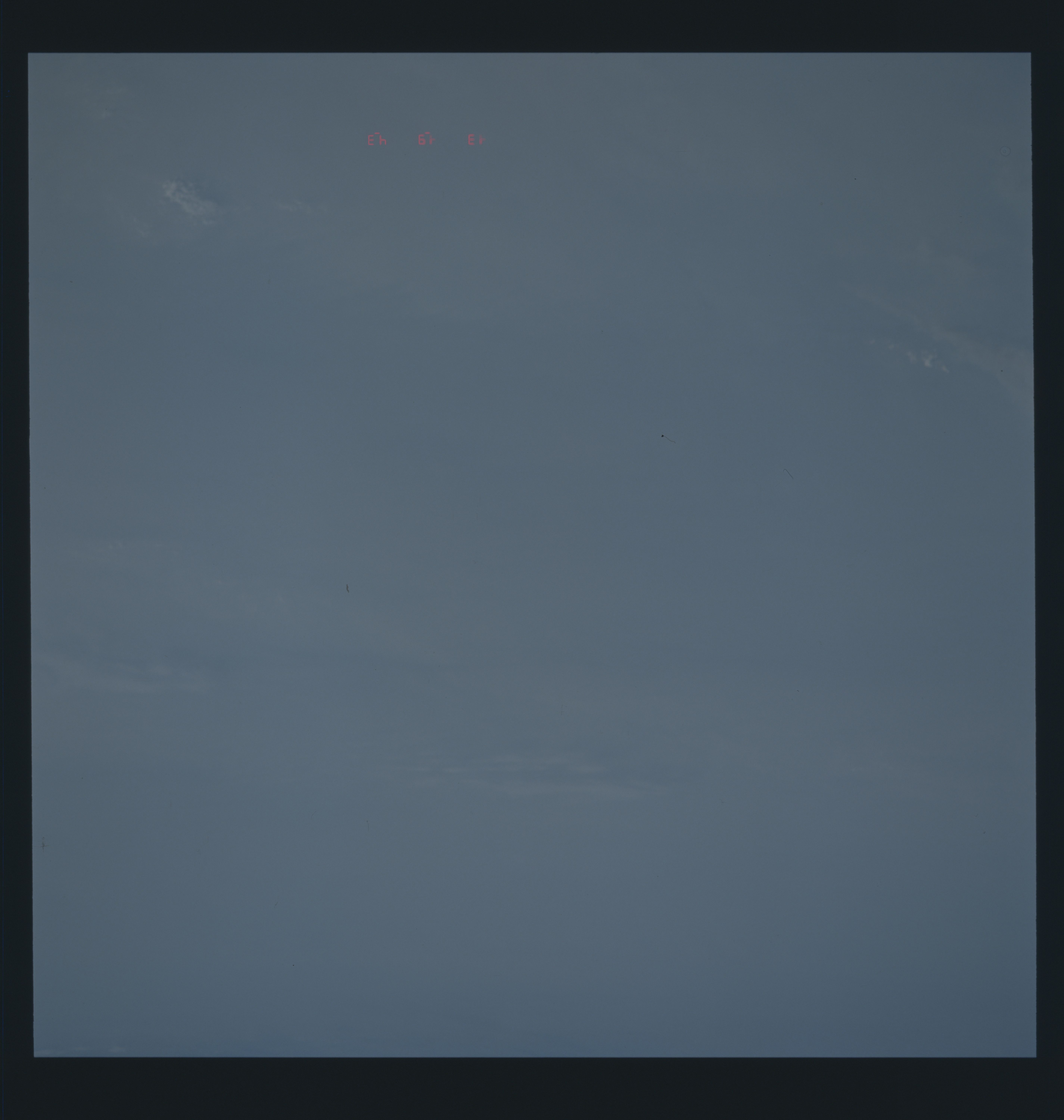
Spacecraft nadir point: 9.2° S, 58.2° W
Photo center point:
Photo center point by machine learning:
Photo center point:
Photo center point by machine learning:
Nadir to Photo Center:
Spacecraft Altitude: 293 nautical miles (543km)
Country or Geographic Name: | CLOUDS |
Features: | CLOUDS |
| Features Found Using Machine Learning: | |
Cloud Cover Percentage: | 100 (76-100)% |
Sun Elevation Angle: | 30° |
Sun Azimuth: | 280° |
Camera: | Rolleiflex |
Focal Length: | 250mm |
Camera Tilt: | Low Oblique |
Format: | 5017: Kodak, natural color positive, Ektachrome, X Professional, ASA 64, standard base |
Film Exposure: | Normal |
| Additional Information | |
| Width | Height | Annotated | Cropped | Purpose | Links |
|---|---|---|---|---|---|
| 5700 pixels | 6000 pixels | No | No | Download Image | |
| 500 pixels | 526 pixels | No | No | Download Image | |
| 640 pixels | 480 pixels | No | No | Download Image |
Download Packaged File
Download a Google Earth KML for this Image
View photo footprint information
Download a GeoTIFF for this photo
Image Caption:
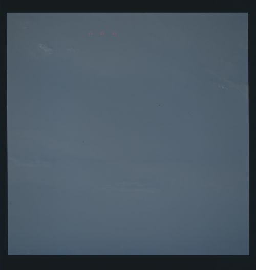
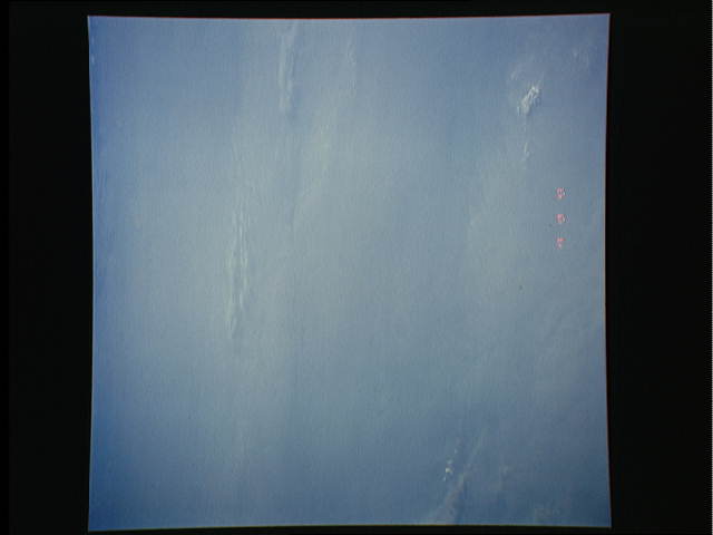
S48-602-01: Rollei CVIS of a portion of the 1.2-1.3 million
square mile Amazonian smoke pall documented by STS-48 photography
during this mission. This scene is aesthetically awful, but is
scientifically meaningful in that it documents a phenomenon that
is still not generally accepted as being "real" by the scientific
and other communities. The scale of this burning and the associ-
ated long-duration (multi-month) smoke pall, in fairness to the
smallness of most scientific minds, are almost beyond the normal
person's comprehension of reality as seen from the comfort of
ivy-colored walls and demigodic textbooks from ages past.
