STS047-97-28
| NASA Photo ID | STS047-97-28 |
| Focal Length | 100mm |
| Date taken | 1992.09.15 |
| Time taken | 16:31:43 GMT |
Resolutions offered for this image:
3904 x 3904 pixels 639 x 639 pixels 5700 x 6000 pixels 500 x 526 pixels 640 x 480 pixels
3904 x 3904 pixels 639 x 639 pixels 5700 x 6000 pixels 500 x 526 pixels 640 x 480 pixels

Cloud masks available for this image:
Spacecraft nadir point: 45.5° N, 108.3° W
Photo center point: 44.5° N, 107.0° W
Photo center point by machine learning:
Photo center point: 44.5° N, 107.0° W
Photo center point by machine learning:
Nadir to Photo Center: Southeast
Spacecraft Altitude: 169 nautical miles (313km)
Country or Geographic Name: | USA-WYOMING |
Features: | BIG HORN MTS. |
| Features Found Using Machine Learning: | |
Cloud Cover Percentage: | 5 (1-10)% |
Sun Elevation Angle: | 35° |
Sun Azimuth: | 129° |
Camera: | Hasselblad |
Focal Length: | 100mm |
Camera Tilt: | 30 degrees |
Format: | VELVI: Fuji, natural color positive, Velvia 50, CS 135-36, ASA 32, standard base |
Film Exposure: | Normal |
| Additional Information | |
| Width | Height | Annotated | Cropped | Purpose | Links |
|---|---|---|---|---|---|
| 3904 pixels | 3904 pixels | No | No | Earth From Space collection | Download Image |
| 639 pixels | 639 pixels | No | No | Earth From Space collection | Download Image |
| 5700 pixels | 6000 pixels | No | No | Download Image | |
| 500 pixels | 526 pixels | No | No | Download Image | |
| 640 pixels | 480 pixels | No | No | Download Image |
Download Packaged File
Download a Google Earth KML for this Image
View photo footprint information
Download a GeoTIFF for this photo
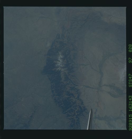
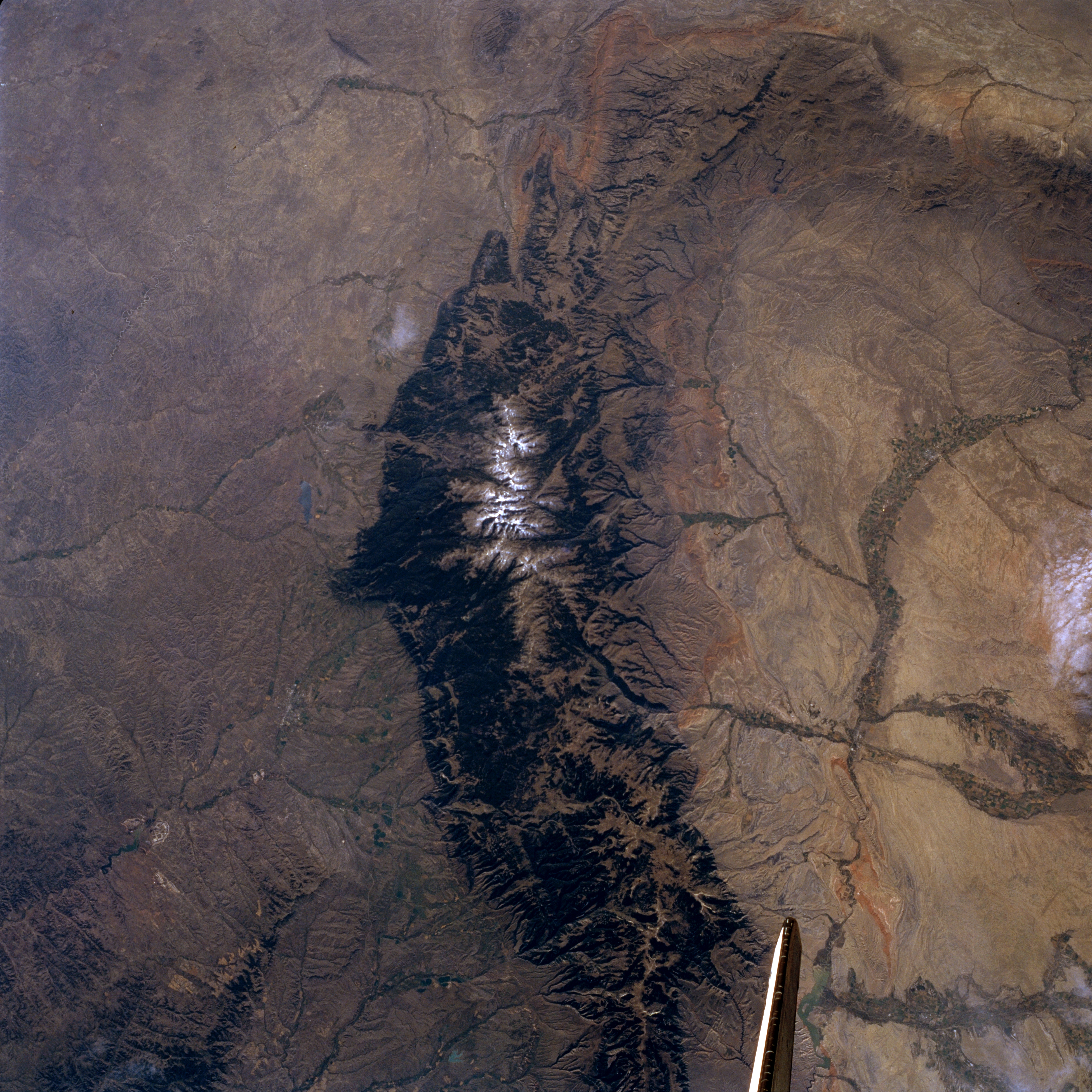
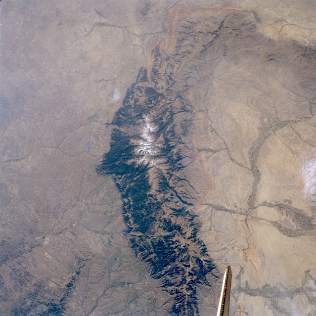
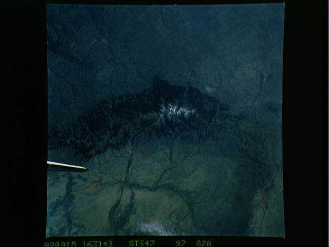
Image Caption: STS047-097-028 Bighorn Mountains, Wyoming, U.S.A. September 1992
Visible in this south-southeast-looking, low-oblique photograph are the forested Bighorn Mountains, which began to form approximately 60 million years ago and extend almost 120 miles (195 kilometers) southeast from the Montana-Wyoming border into central Wyoming. Cloud Peak, the highest point in the glacier-carved range at 13 175 feet (4018 meters), consists mostly of Precambrian basement rocks. East of the mountain range is the western portion of the Power River Basin; to the west is the eastern portion of the Bighorn Basin with its irrigated farmland along the Bighorn, Shoshone, and Greybull Rivers.
Visible in this south-southeast-looking, low-oblique photograph are the forested Bighorn Mountains, which began to form approximately 60 million years ago and extend almost 120 miles (195 kilometers) southeast from the Montana-Wyoming border into central Wyoming. Cloud Peak, the highest point in the glacier-carved range at 13 175 feet (4018 meters), consists mostly of Precambrian basement rocks. East of the mountain range is the western portion of the Power River Basin; to the west is the eastern portion of the Bighorn Basin with its irrigated farmland along the Bighorn, Shoshone, and Greybull Rivers.
