STS047-93-61
| NASA Photo ID | STS047-93-61 |
| Focal Length | 250mm |
| Date taken | 1992.09.17 |
| Time taken | 13:43:12 GMT |
Cloud masks available for this image:
Spacecraft nadir point: 30.4° N, 95.5° W
Photo center point: 29.0° N, 95.0° W
Photo center point by machine learning:
Photo center point: 29.0° N, 95.0° W
Photo center point by machine learning:
Nadir to Photo Center: South
Spacecraft Altitude: 165 nautical miles (306km)
Country or Geographic Name: | USA-TEXAS |
Features: | GALVESTON I, BAY AREA |
| Features Found Using Machine Learning: | |
Cloud Cover Percentage: | 30 (26-50)% |
Sun Elevation Angle: | 21° |
Sun Azimuth: | 100° |
Camera: | Hasselblad |
Focal Length: | 250mm |
Camera Tilt: | 28 degrees |
Format: | VELVI: Fuji, natural color positive, Velvia 50, CS 135-36, ASA 32, standard base |
Film Exposure: | Under Exposed |
| Additional Information | |
| Width | Height | Annotated | Cropped | Purpose | Links |
|---|---|---|---|---|---|
| 5700 pixels | 6000 pixels | No | No | Download Image | |
| 500 pixels | 526 pixels | No | No | Download Image | |
| 640 pixels | 480 pixels | No | No | Download Image |
Download Packaged File
Download a Google Earth KML for this Image
View photo footprint information
Download a GeoTIFF for this photo
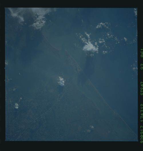
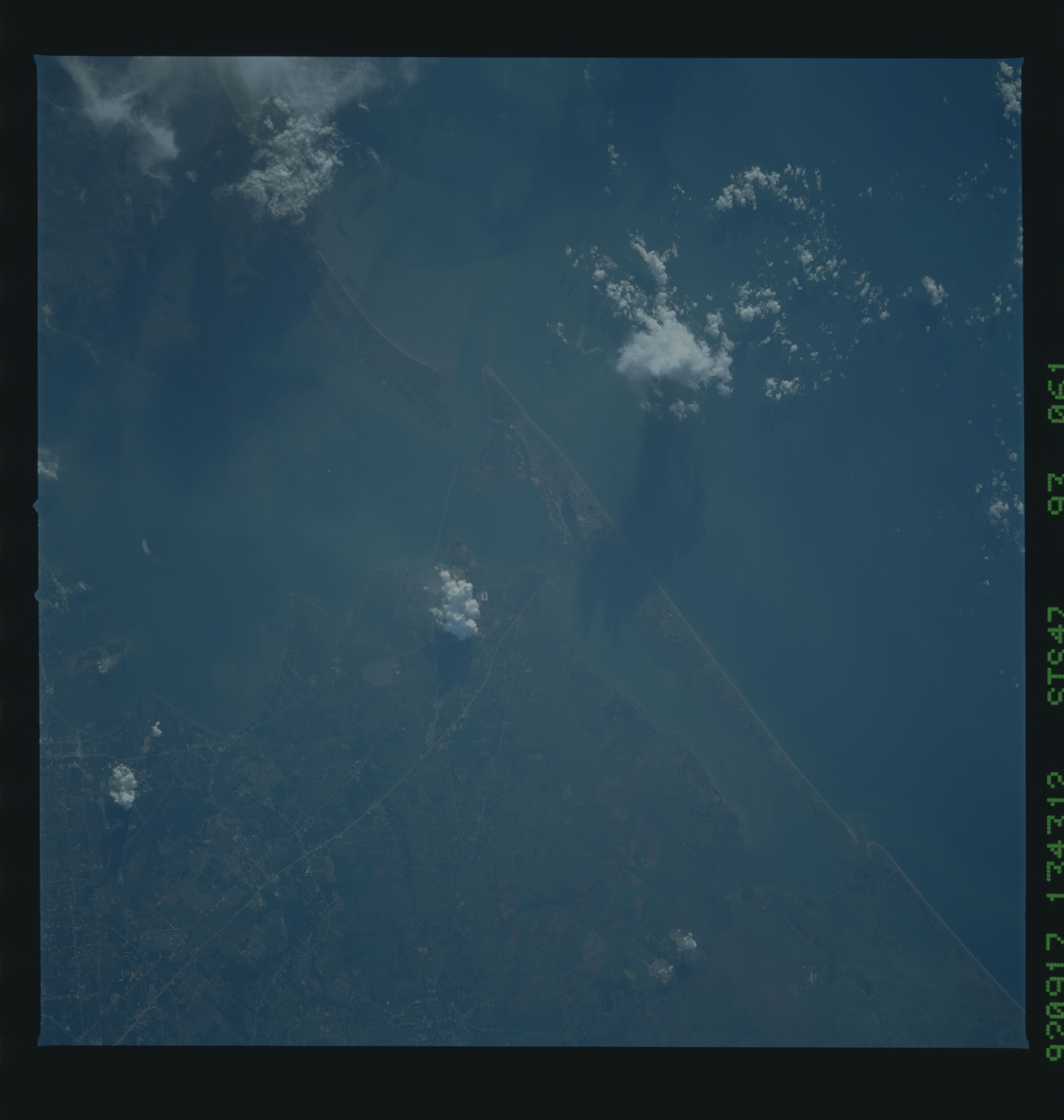
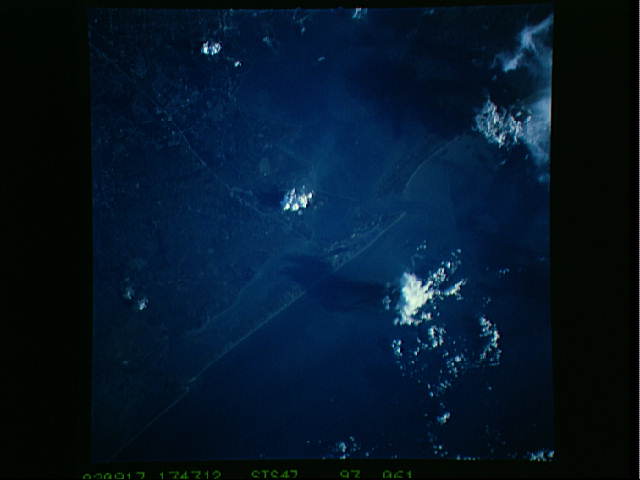
Image Caption: STS047-93-61 Galveston Bay and Clear Lake
This early morning photograph (7:43 AM local) clearly shows the Space Center, Clear Lake and surroundings, and Galveston Bay. Of particular note are the patterns of turbulence just offshore the Kemah Bridge and in the southeast part of the bay. The curly-cue patterns suggest both oystering and shrimping activities.
Centers on Texas City (under a billowing cumulus cloud). Good low-sun highlights on buildings around clear Lake.
