STS047-87-79
| NASA Photo ID | STS047-87-79 |
| Focal Length | 250mm |
| Date taken | 1992.09.14 |
| Time taken | 07:31:10 GMT |
Cloud masks available for this image:
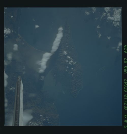
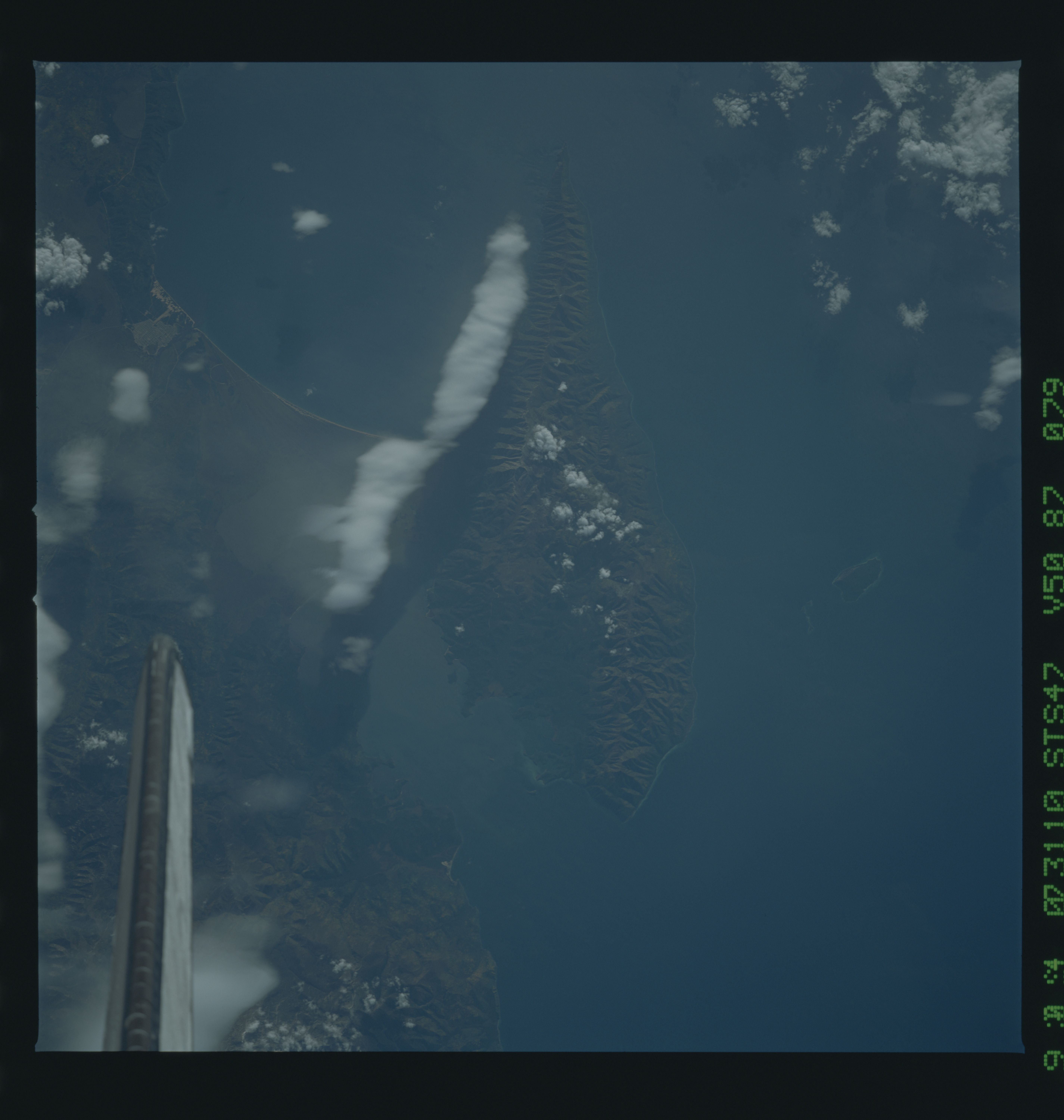
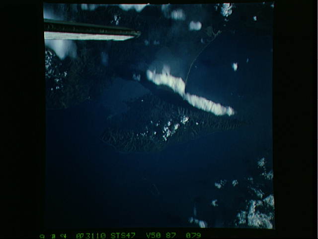
Spacecraft nadir point: 54.1° N, 110.1° E
Photo center point: 54.0° N, 109.0° E
Photo center point by machine learning:
Photo center point: 54.0° N, 109.0° E
Photo center point by machine learning:
Nadir to Photo Center: West
Spacecraft Altitude: 171 nautical miles (317km)
Country or Geographic Name: | RUSSIAN FEDERATION |
Features: | L. BAIKAL, EASTERN SHORE |
| Features Found Using Machine Learning: | |
Cloud Cover Percentage: | 40 (26-50)% |
Sun Elevation Angle: | 29° |
Sun Azimuth: | 233° |
Camera: | Hasselblad |
Focal Length: | 250mm |
Camera Tilt: | 21 degrees |
Format: | VELVI: Fuji, natural color positive, Velvia 50, CS 135-36, ASA 32, standard base |
Film Exposure: | Normal |
| Additional Information | |
| Width | Height | Annotated | Cropped | Purpose | Links |
|---|---|---|---|---|---|
| 5700 pixels | 6000 pixels | No | No | Download Image | |
| 500 pixels | 526 pixels | No | No | Download Image | |
| 640 pixels | 480 pixels | No | No | Download Image |
Download Packaged File
Download a Google Earth KML for this Image
View photo footprint information
Download a GeoTIFF for this photo
Image Caption:
Atmospheric Wave Clouds STS047-95-
003 STS047-87-
79 9/16/92
00:07:06GMT 9/-/92
07:31:10GMT Kuril Is. Kelvin
Waves L. Baikal Lenticu-
lar Cloud The Kelvin waves shown here are classic examples of
maritime moisture being forced over multiple island boundaries
creating a vertical ripple in the wind flow.
