STS047-87-70
| NASA Photo ID | STS047-87-70 |
| Focal Length | 250mm |
| Date taken | 1992.09.14 |
| Time taken | 07:23:40 GMT |
Cloud masks available for this image:
Spacecraft nadir point: 54.4° N, 59.9° E
Photo center point: 46.0° N, 60.0° E
Photo center point by machine learning:
Photo center point: 46.0° N, 60.0° E
Photo center point by machine learning:
Nadir to Photo Center: South
Spacecraft Altitude: 171 nautical miles (317km)
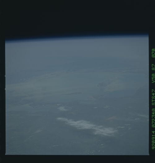
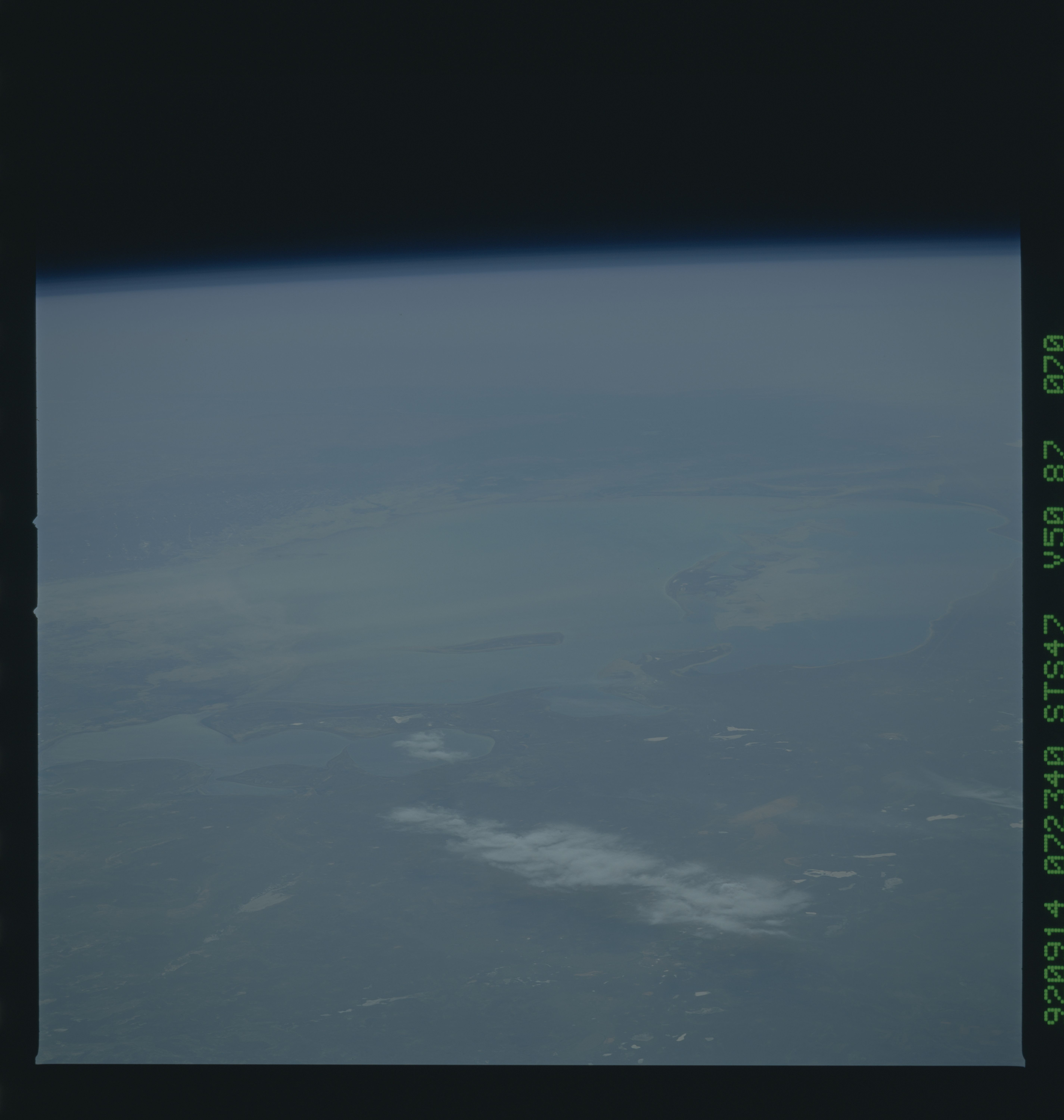
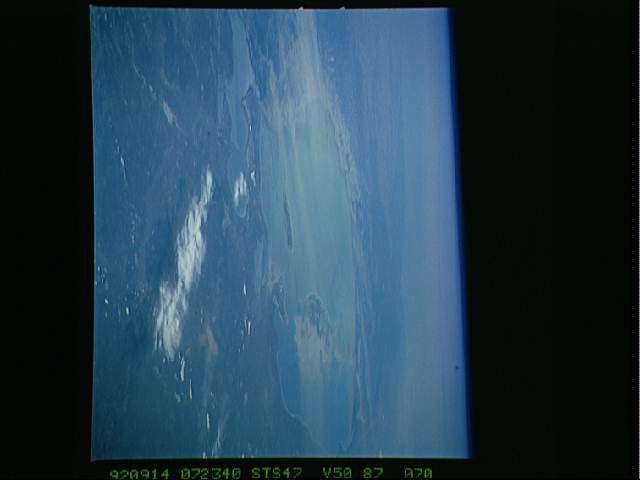
Country or Geographic Name: | KAZAKHSTAN |
Features: | PAN-ARAL SEA, HAZE |
| Features Found Using Machine Learning: | |
Cloud Cover Percentage: | 20 (11-25)% |
Sun Elevation Angle: | 39° |
Sun Azimuth: | 171° |
Camera: | Hasselblad |
Focal Length: | 250mm |
Camera Tilt: | High Oblique |
Format: | VELVI: Fuji, natural color positive, Velvia 50, CS 135-36, ASA 32, standard base |
Film Exposure: | Over Exposed |
| Additional Information | |
| Width | Height | Annotated | Cropped | Purpose | Links |
|---|---|---|---|---|---|
| 5700 pixels | 6000 pixels | No | No | Download Image | |
| 500 pixels | 526 pixels | No | No | Download Image | |
| 640 pixels | 480 pixels | No | No | Download Image |
Download Packaged File
Download a Google Earth KML for this Image
View photo footprint information
Download a GeoTIFF for this photo
Image Caption:
Aral Sea Aeolian Dust STS047-87-070 9/14/92 07:23:40GMT
The Aral Sea has been drying up for many years allowing sediments
and top soils to be carried away by the wind.
Aral Sea Aeolian Dust STS047-87-070 9/14/92 07:23:40GMT
The Aral Sea has been drying up for many years allowing sediments
and top soils to be carried away by the wind.
