STS047-77-90
| NASA Photo ID | STS047-77-90 |
| Focal Length | 100mm |
| Date taken | 1992.09.14 |
| Time taken | 04:19:09 GMT |
Cloud masks available for this image:
Spacecraft nadir point: 48.0° N, 87.9° E
Photo center point: 43.5° N, 89.5° E
Photo center point by machine learning:
Photo center point: 43.5° N, 89.5° E
Photo center point by machine learning:
Nadir to Photo Center: South
Spacecraft Altitude: 169 nautical miles (313km)
Country or Geographic Name: | CHINA |
Features: | TIEN MOUTAINS |
| Features Found Using Machine Learning: | |
Cloud Cover Percentage: | 15 (11-25)% |
Sun Elevation Angle: | 40° |
Sun Azimuth: | 146° |
Camera: | Hasselblad |
Focal Length: | 100mm |
Camera Tilt: | High Oblique |
Format: | VELVI: Fuji, natural color positive, Velvia 50, CS 135-36, ASA 32, standard base |
Film Exposure: | Normal |
| Additional Information | |
| Width | Height | Annotated | Cropped | Purpose | Links |
|---|---|---|---|---|---|
| 5700 pixels | 6000 pixels | No | No | Download Image | |
| 500 pixels | 526 pixels | No | No | Download Image | |
| 640 pixels | 480 pixels | No | No | Download Image |
Download Packaged File
Download a Google Earth KML for this Image
View photo footprint information
Download a GeoTIFF for this photo
Image Caption:
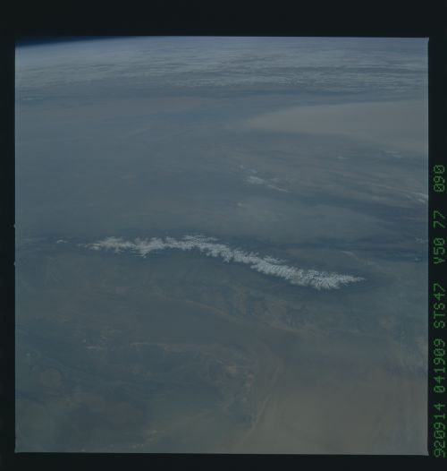
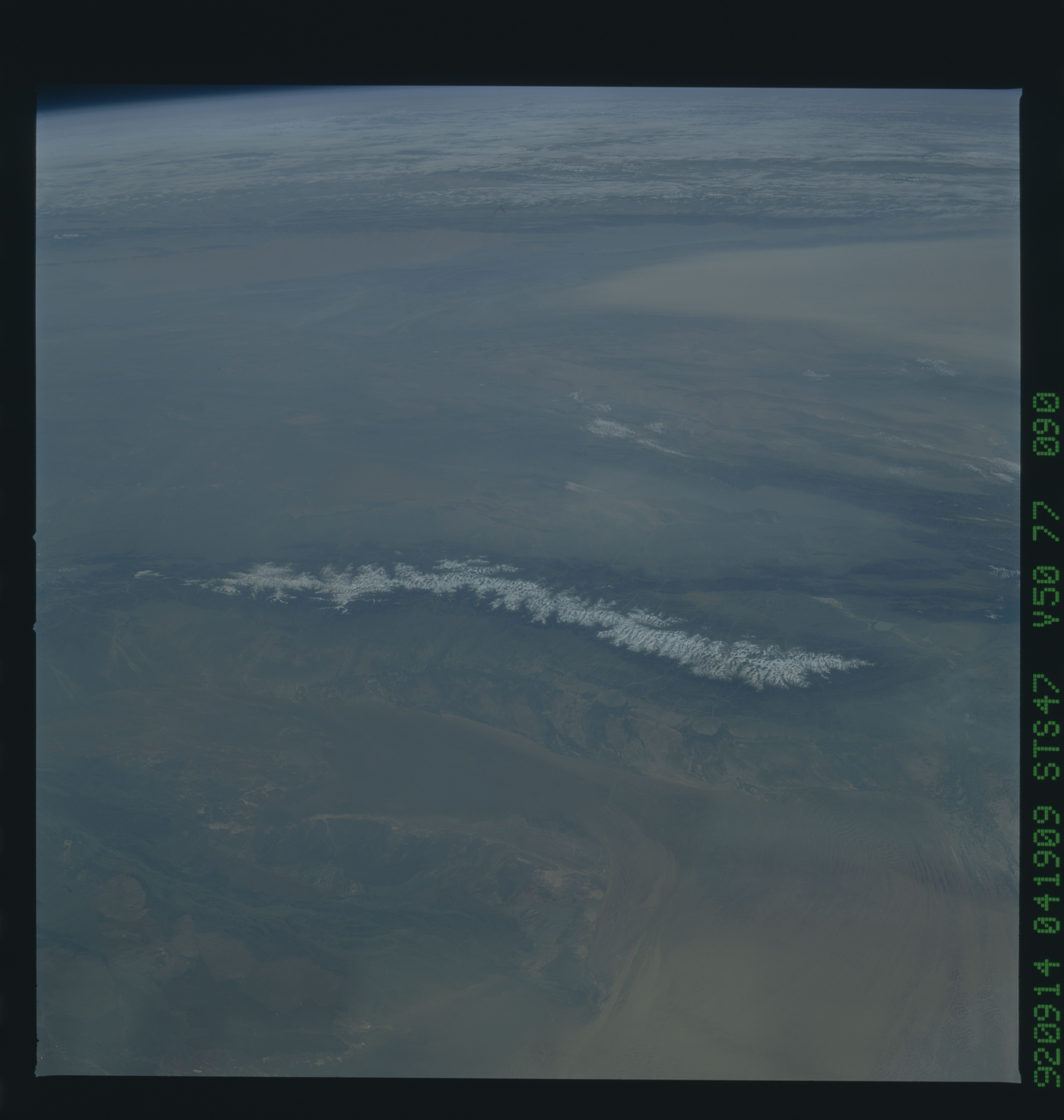
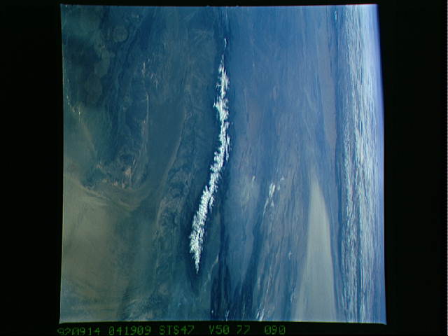
STS047-77-090 DZUNGARIAN BASIN and LOP NOR DRY LAKE, Xinjiang
province (Sinkiang), NW China. The Dzungarian Basin appears in
the foreground of this south-looking view of arid northwest Chi-
na. The dry lake known as Lop Nor is the ear-shaped dry lake bed
in W China in the distance.
STS047-153-193, 151-026, 77-090 LOP NOR, Dry Lake, Sinkiang, W.
China. Lop Nor is the ear-shaped dry lake bed in W China near
the Chinese nuclear test site.
