STS047-76-78
| NASA Photo ID | STS047-76-78 |
| Focal Length | 250mm |
| Date taken | 1992.09.13 |
| Time taken | 23:43:03 GMT |
Cloud masks available for this image:
Spacecraft nadir point: 36.3° N, 140.6° E
Photo center point: 35.5° N, 140.0° E
Photo center point by machine learning:
Photo center point: 35.5° N, 140.0° E
Photo center point by machine learning:
Nadir to Photo Center: Southwest
Spacecraft Altitude: 167 nautical miles (309km)
Country or Geographic Name: | JAPAN |
Features: | TOKYO, SHUTTLE TAIL, FUZZY |
| Features Found Using Machine Learning: | |
Cloud Cover Percentage: | 30 (26-50)% |
Sun Elevation Angle: | 40° |
Sun Azimuth: | 121° |
Camera: | Hasselblad |
Focal Length: | 250mm |
Camera Tilt: | 20 degrees |
Format: | VELVI: Fuji, natural color positive, Velvia 50, CS 135-36, ASA 32, standard base |
Film Exposure: | Out of Focus |
| Additional Information | |
| Width | Height | Annotated | Cropped | Purpose | Links |
|---|---|---|---|---|---|
| 5700 pixels | 6000 pixels | No | No | Download Image | |
| 500 pixels | 526 pixels | No | No | Download Image | |
| 640 pixels | 480 pixels | No | No | Download Image |
Download Packaged File
Download a Google Earth KML for this Image
View photo footprint information
Download a GeoTIFF for this photo
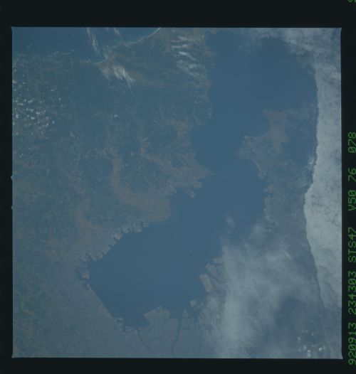
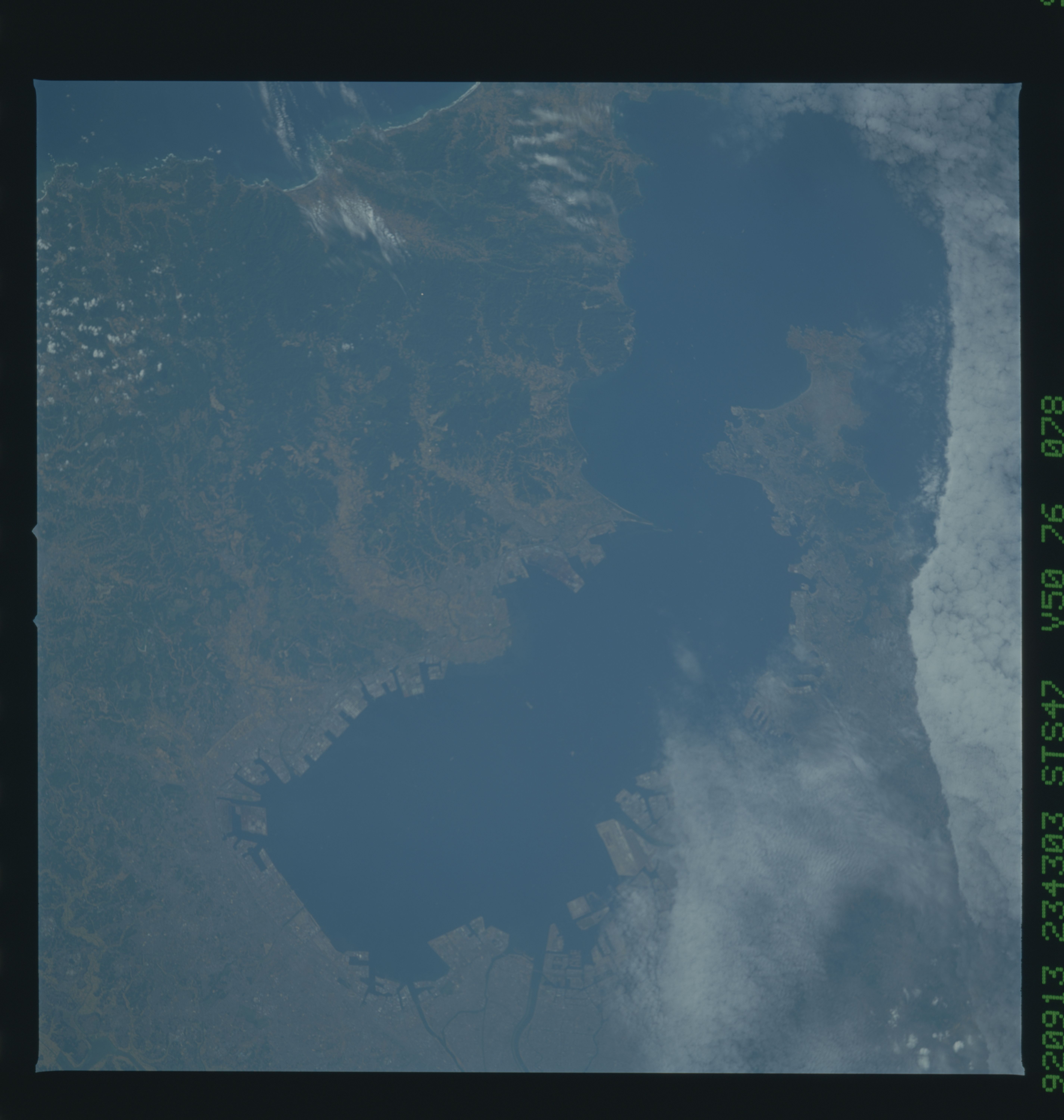
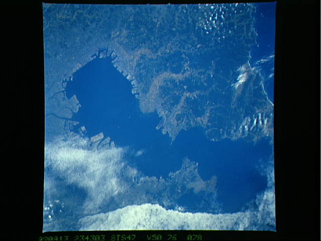
Image Caption: Tokyo, (35.5N, 140.0E) one of the most densely populated regions on Earth, and capital of Japan, is seen through the clouds. The city is at the north end of Edo Bay and Yokohama, partially cloud covered, is along the bay's western margin. The gray patches are close-packed urban urban areas and the brown valleys along the eastern side of the bay are cultivatedd, mostly rice. Although the Imperial Palace is obscured, many other features may be seen.
