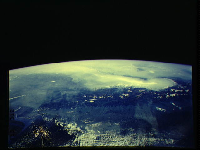
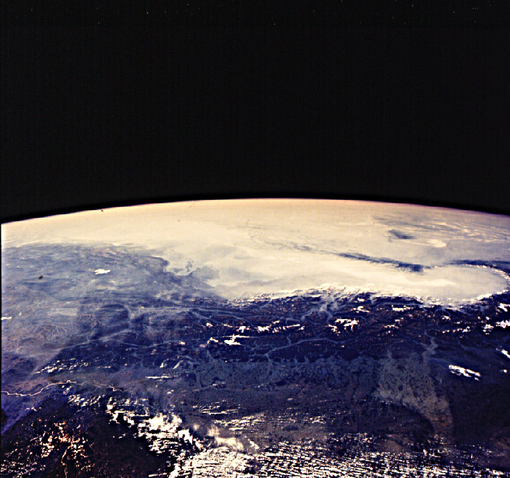
STS047-153-312
| NASA Photo ID | STS047-153-312 |
| Focal Length | 90mm |
| Date taken | 1992.09.16 |
| Time taken | 09:10:46 GMT |
Cloud masks available for this image:
Spacecraft nadir point: 51.8° N, 12.1° E
Photo center point: 48.0° N, 11.5° E
Photo center point by machine learning:
Photo center point: 48.0° N, 11.5° E
Photo center point by machine learning:
Nadir to Photo Center: South
Spacecraft Altitude: 170 nautical miles (315km)
Country or Geographic Name: | AUSTRIA |
Features: | S. GERMAN PL TO SOUTH |
| Features Found Using Machine Learning: | |
Cloud Cover Percentage: | 10 (1-10)% |
Sun Elevation Angle: | 35° |
Sun Azimuth: | 141° |
Camera: | Linhof |
Focal Length: | 90mm |
Camera Tilt: | High Oblique |
Format: | QX868: Kodak, natural color positive, Ektachrome QX868(5017 emulsion), ASA 64, thin base |
Film Exposure: | Normal |
| Additional Information | |
| Width | Height | Annotated | Cropped | Purpose | Links |
|---|---|---|---|---|---|
| 640 pixels | 480 pixels | No | No | ISD 1 | Download Image |
| 735 pixels | 689 pixels | No | No | Download Image |
Download Packaged File
Download a Google Earth KML for this Image
View photo footprint information
Download a GeoTIFF for this photo
Image Caption: none
