STS045-80-31
| NASA Photo ID | STS045-80-31 |
| Focal Length | 100mm |
| Date taken | 1992.03.27 |
| Time taken | 12:35:50 GMT |
Cloud masks available for this image:
Spacecraft nadir point: 26.6° N, 53.8° E
Photo center point: 28.0° N, 51.0° E
Photo center point by machine learning:
Photo center point: 28.0° N, 51.0° E
Photo center point by machine learning:
Nadir to Photo Center: Northwest
Spacecraft Altitude: 162 nautical miles (300km)
Country or Geographic Name: | IRAN |
Features: | RAS E KHAN, CURRENTS |
| Features Found Using Machine Learning: | |
Cloud Cover Percentage: | 0 (no clouds present) |
Sun Elevation Angle: | 27° |
Sun Azimuth: | 259° |
Camera: | Hasselblad |
Focal Length: | 100mm |
Camera Tilt: | 49 degrees |
Format: | 5017: Kodak, natural color positive, Ektachrome, X Professional, ASA 64, standard base |
Film Exposure: | Normal |
| Additional Information | |
| Width | Height | Annotated | Cropped | Purpose | Links |
|---|---|---|---|---|---|
| 5700 pixels | 6000 pixels | No | No | Download Image | |
| 500 pixels | 526 pixels | No | No | Download Image | |
| 640 pixels | 480 pixels | No | No | Download Image |
Download Packaged File
Download a Google Earth KML for this Image
View photo footprint information
Download a GeoTIFF for this photo
Image Caption:
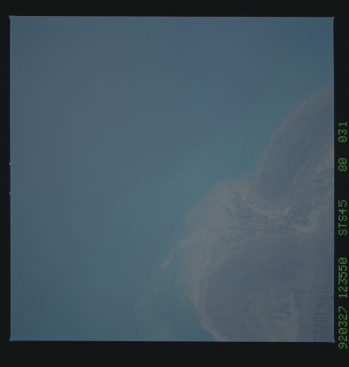
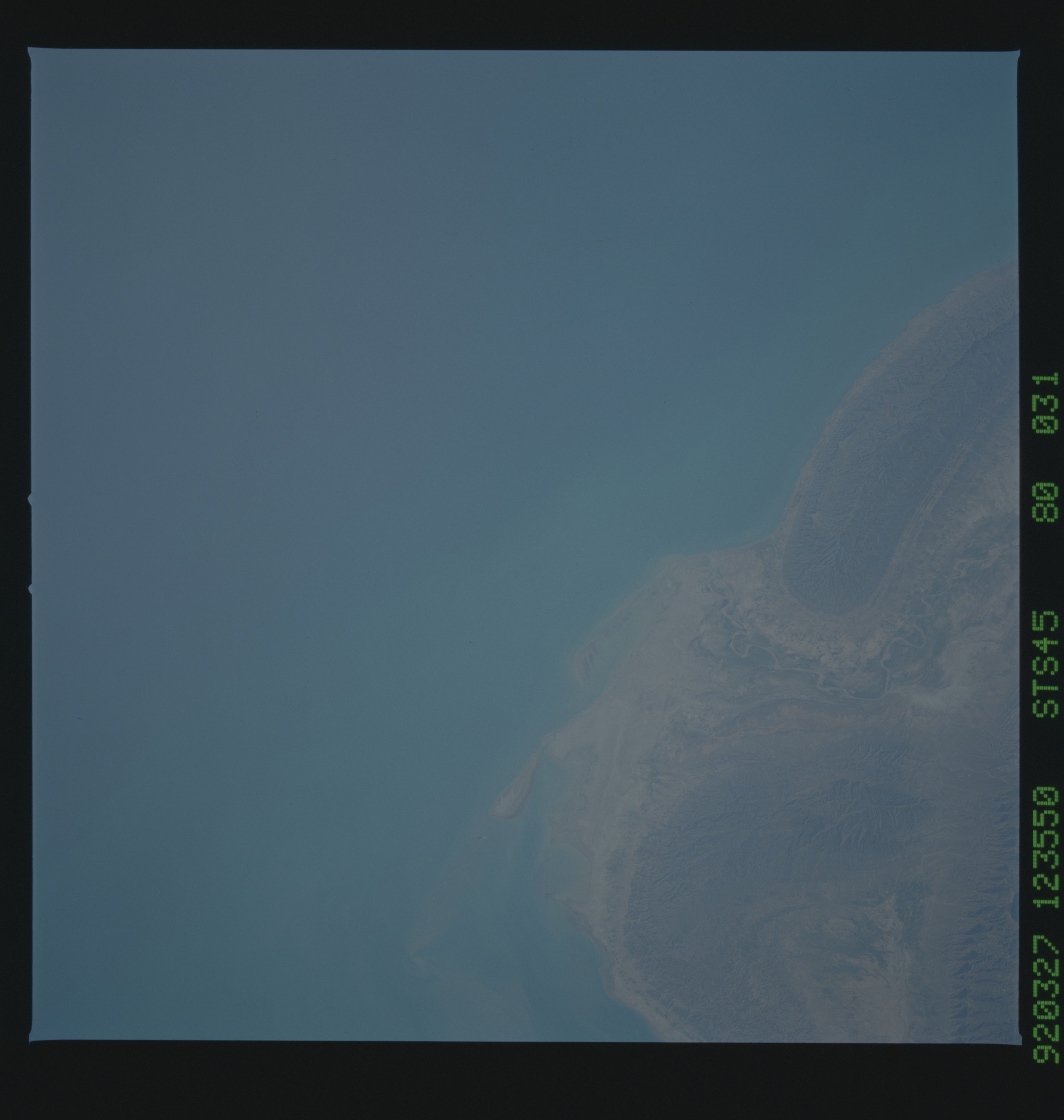
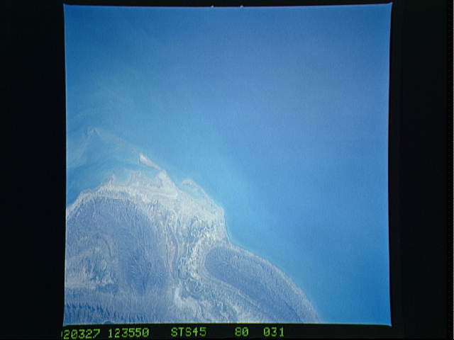
STS045-80-031: Coast of Iran, Persian Gulf Sediment-laden water
of the Persian Gulf along the coast of Iran. Space Shuttle pho-
tographs have historically revealed turbid water in the Persian
Gulf, along the coast of Iran and Iraq. This photograph, and
others of the Persian Gulf collected during the STS- 45 mission,
will aid researchers presently studying the effects of the recent
Gulf war on the Gulf ecosystem.
