STS044-93-7
| NASA Photo ID | STS044-93-7 |
| Focal Length | 250mm |
| Date taken | 1991.11.28 |
| Time taken | 00:40:33 GMT |
Cloud masks available for this image:
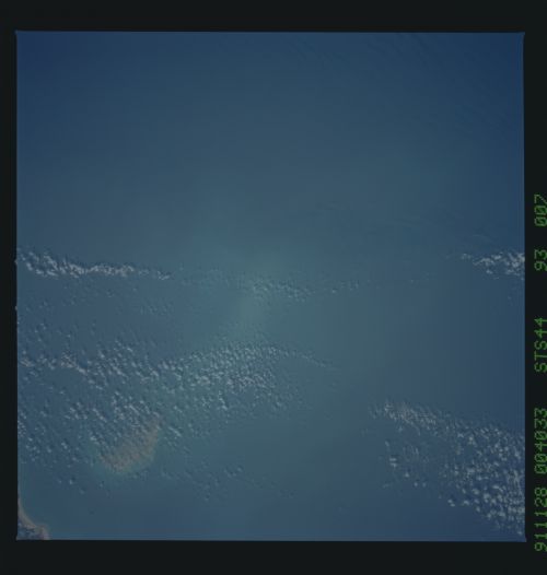
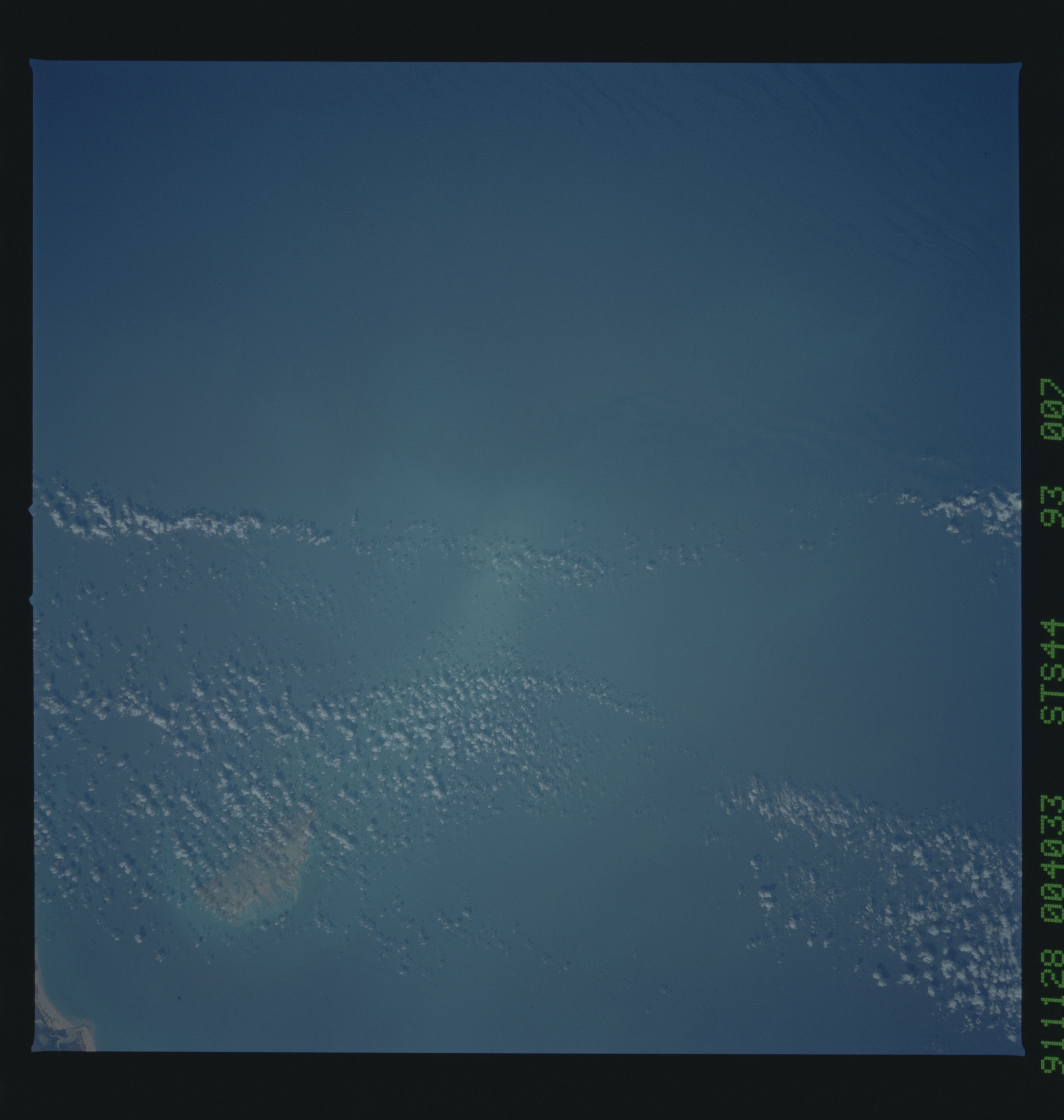
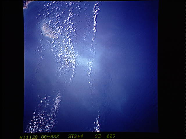
Spacecraft nadir point: 16.3° S, 120.3° E
Photo center point: 17.0° S, 122.0° E
Photo center point by machine learning:
Photo center point: 17.0° S, 122.0° E
Photo center point by machine learning:
Nadir to Photo Center: East
Spacecraft Altitude: 197 nautical miles (365km)
Country or Geographic Name: | AUSTRALIA-WA |
Features: | LACEPEDE ISLANDS |
| Features Found Using Machine Learning: | |
Cloud Cover Percentage: | 10 (1-10)% |
Sun Elevation Angle: | 62° |
Sun Azimuth: | 126° |
Camera: | Hasselblad |
Focal Length: | 250mm |
Camera Tilt: | 29 degrees |
Format: | 5017: Kodak, natural color positive, Ektachrome, X Professional, ASA 64, standard base |
Film Exposure: | Normal |
| Additional Information | |
| Width | Height | Annotated | Cropped | Purpose | Links |
|---|---|---|---|---|---|
| 5700 pixels | 6000 pixels | No | No | Download Image | |
| 500 pixels | 526 pixels | No | No | Download Image | |
| 640 pixels | 480 pixels | No | No | Download Image |
Download Packaged File
Download a Google Earth KML for this Image
View photo footprint information
Download a GeoTIFF for this photo
Image Caption: The Lacepede Islands, Northwest Coast of Australia (17.0S, 122.0E) are a group of small offshore islands and a series of sand bars. Eroded soils from the highlands of northwest Australia are carried down to King Sound by the Fitzroy River. Nearshore ocean currents then transport the sediment laden waters of the sound westward along the coast where the sediment is then deposited along the beaches, sand bars and islands.
