STS044-93-33
| NASA Photo ID | STS044-93-33 |
| Focal Length | 250mm |
| Date taken | 1991.11.28 |
| Time taken | 00:52:27 GMT |
Resolutions offered for this image:
5700 x 6000 pixels 500 x 526 pixels 640 x 480 pixels 4800 x 4800 pixels 4800 x 4800 pixels 909 x 1181 pixels 540 x 702 pixels 793 x 782 pixels
5700 x 6000 pixels 500 x 526 pixels 640 x 480 pixels 4800 x 4800 pixels 4800 x 4800 pixels 909 x 1181 pixels 540 x 702 pixels 793 x 782 pixels


Cloud masks available for this image:
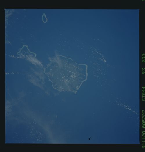
Spacecraft nadir point: 5.1° N, 159.3° E
Photo center point: 7.0° N, 158.0° E
Photo center point by machine learning:
Photo center point: 7.0° N, 158.0° E
Photo center point by machine learning:
Nadir to Photo Center: Northwest
Spacecraft Altitude: 195 nautical miles (361km)
Country or Geographic Name: | CAROLINE ISLANDS |
Features: | PONAPE |
| Features Found Using Machine Learning: | |
Cloud Cover Percentage: | 0 (no clouds present) |
Sun Elevation Angle: | 49° |
Sun Azimuth: | 205° |
Camera: | Hasselblad |
Focal Length: | 250mm |
Camera Tilt: | 35 degrees |
Format: | 5017: Kodak, natural color positive, Ektachrome, X Professional, ASA 64, standard base |
Film Exposure: | Normal |
| Additional Information | |
| Width | Height | Annotated | Cropped | Purpose | Links |
|---|---|---|---|---|---|
| 5700 pixels | 6000 pixels | No | No | Download Image | |
| 500 pixels | 526 pixels | No | No | Download Image | |
| 640 pixels | 480 pixels | No | No | Download Image | |
| 4800 pixels | 4800 pixels | No | No | Coral Reef Atlas Publication | Download Image |
| 4800 pixels | 4800 pixels | No | No | Download Image | |
| 909 pixels | 1181 pixels | Yes | Yes | Publisher Request | Download Image |
| 540 pixels | 702 pixels | Publisher Request | Download Image | ||
| 793 pixels | 782 pixels | No | No | Download Image |
Download Packaged File
Download a Google Earth KML for this Image
View photo footprint information
Download a GeoTIFF for this photo
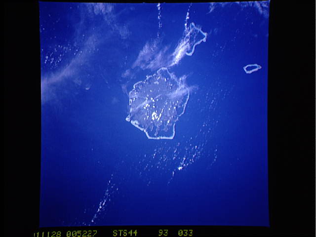
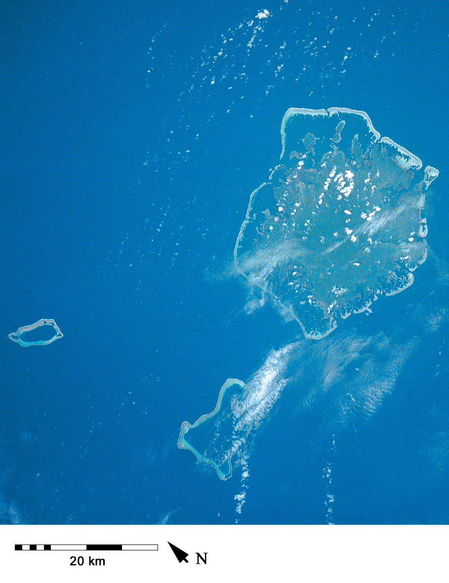
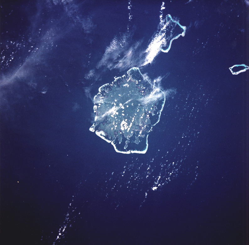
Image Caption: Pohnpei, with its fringing and barrier reefs, with adjacent atolls [STS044-93-33, 1991].
