STS044-87-76

| NASA Photo ID | STS044-87-76 |
| Focal Length | 250mm |
| Date taken | 1991.12.01 |
| Time taken | 13:18:14 GMT |
Cloud masks available for this image:
Spacecraft nadir point: 26.7° N, 46.8° E
Photo center point: 29.0° N, 48.0° E
Photo center point by machine learning:
Photo center point: 29.0° N, 48.0° E
Photo center point by machine learning:
Nadir to Photo Center: Northeast
Spacecraft Altitude: 198 nautical miles (367km)
Country or Geographic Name: | KUWAIT |
Features: | MINA SAUD, OIL FIELDS |
| Features Found Using Machine Learning: | |
Cloud Cover Percentage: | 5 (1-10)% |
Sun Elevation Angle: | -16° |
Sun Azimuth: | 252° |
Camera: | Hasselblad |
Focal Length: | 250mm |
Camera Tilt: | 38 degrees |
Format: | 2443: Kodak Aerochrome 2443, color IR, thin base, EA-5 process thru June 1999, E-6 process afterward |
Film Exposure: | Under Exposed |
| Additional Information | |
| Width | Height | Annotated | Cropped | Purpose | Links |
|---|---|---|---|---|---|
| 5700 pixels | 6000 pixels | No | No | Download Image | |
| 500 pixels | 526 pixels | No | No | Download Image | |
| 640 pixels | 480 pixels | No | No | Download Image |
Download Packaged File
Download a Google Earth KML for this Image
View photo footprint information
Download a GeoTIFF for this photo
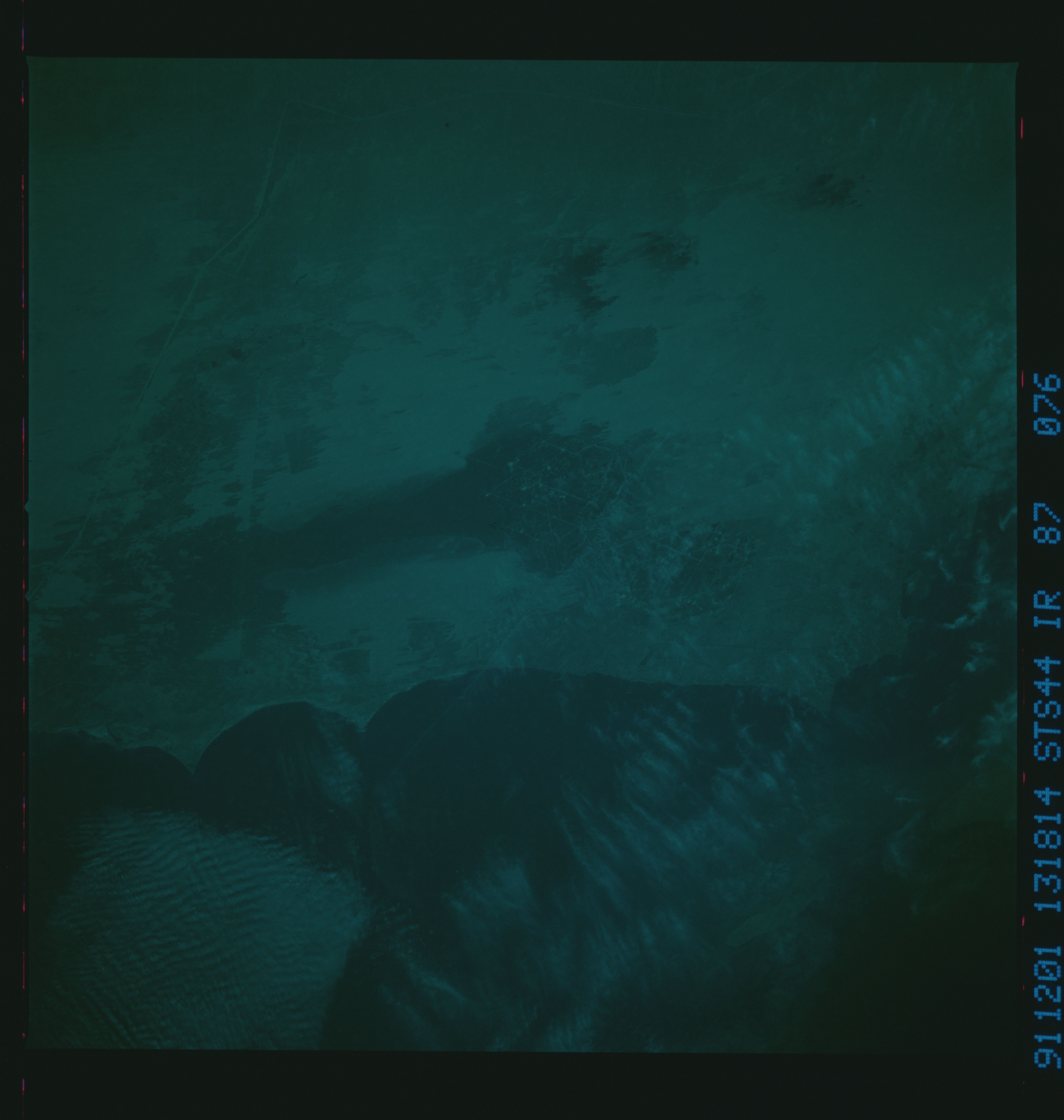
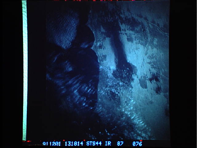
Image Caption: STS044-75-25, STS044-75-27, STS044-87-76 (CIR): KUWAIT AFTER THE OIL FIRES
In this first view of Kuwait after the extinguishing of the oil field fires that covered the area with smoke plumes from early February to early November 1991, we can see both large and small areas blackened by particulate deposits. The oil-blackened sand around the major oil fields Al Ahmadi and Al Burquan, south and west of Kuwait City, are etched by roads. Several smaller smoke-blackened areas farther west mark the locations of more minor oil fields. The oily smoke plumes that dramatized the Kuwaiti fires extended no more than a few hundred kilometers from the source and rose no higher than 5 km into the atmosphere. Thus, when considered in a regional context, the environmental impact of the smoke may be small. But the change in the physical appearance of the landscape indicates that the oily plumes did have an impact on the local ecology. The implications of these particulate deposits are not known, but certainly the changes in the optical properties (albedo of the surface) of the sand sheet and dunes will alter the microecology of the area.
In this first view of Kuwait after the extinguishing of the oil field fires that covered the area with smoke plumes from early February to early November 1991, we can see both large and small areas blackened by particulate deposits. The oil-blackened sand around the major oil fields Al Ahmadi and Al Burquan, south and west of Kuwait City, are etched by roads. Several smaller smoke-blackened areas farther west mark the locations of more minor oil fields. The oily smoke plumes that dramatized the Kuwaiti fires extended no more than a few hundred kilometers from the source and rose no higher than 5 km into the atmosphere. Thus, when considered in a regional context, the environmental impact of the smoke may be small. But the change in the physical appearance of the landscape indicates that the oily plumes did have an impact on the local ecology. The implications of these particulate deposits are not known, but certainly the changes in the optical properties (albedo of the surface) of the sand sheet and dunes will alter the microecology of the area.
