STS044-83-84
| NASA Photo ID | STS044-83-84 |
| Focal Length | 250mm |
| Date taken | 1991.11.29 |
| Time taken | 22:35:09 GMT |
Cloud masks available for this image:
Spacecraft nadir point: 7.3° S, 154.8° E
Photo center point: 6.5° S, 155.5° E
Photo center point by machine learning:
Photo center point: 6.5° S, 155.5° E
Photo center point by machine learning:
Nadir to Photo Center: Northeast
Spacecraft Altitude: 195 nautical miles (361km)
Country or Geographic Name: | SOLOMON ISLANDS |
Features: | BOUGAINVILLE |
| Features Found Using Machine Learning: | |
Cloud Cover Percentage: | 10 (1-10)% |
Sun Elevation Angle: | 57° |
Sun Azimuth: | 146° |
Camera: | Hasselblad |
Focal Length: | 250mm |
Camera Tilt: | 18 degrees |
Format: | 2443: Kodak Aerochrome 2443, color IR, thin base, EA-5 process thru June 1999, E-6 process afterward |
Film Exposure: | Normal |
| Additional Information | |
| Width | Height | Annotated | Cropped | Purpose | Links |
|---|---|---|---|---|---|
| 5700 pixels | 6000 pixels | No | No | Download Image | |
| 500 pixels | 526 pixels | No | No | Download Image | |
| 640 pixels | 480 pixels | No | No | Download Image |
Download Packaged File
Download a Google Earth KML for this Image
View photo footprint information
Download a GeoTIFF for this photo
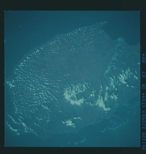
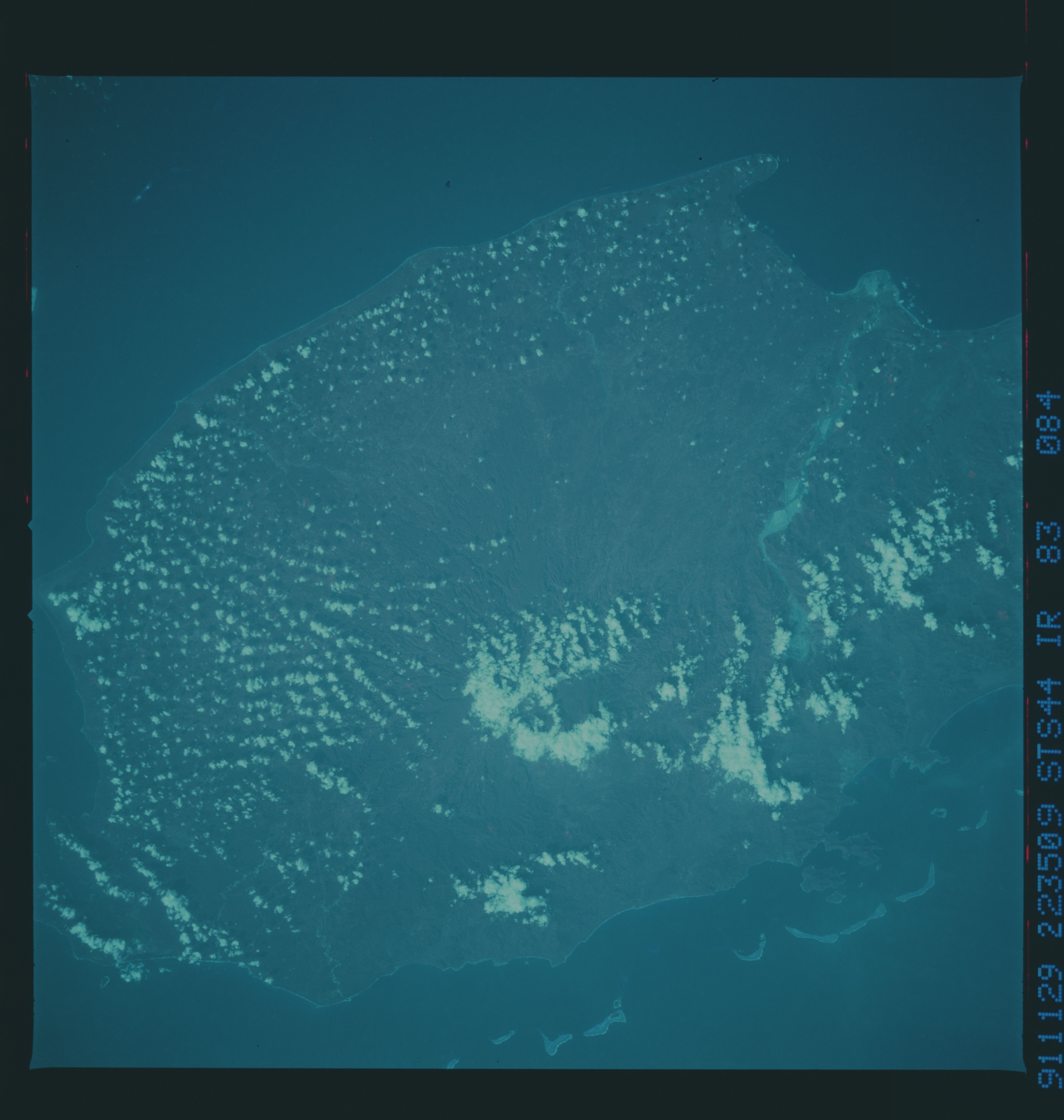
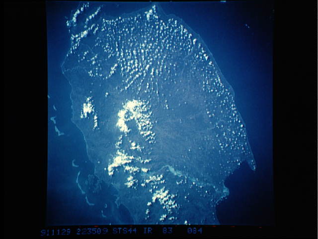
Image Caption: STS044-83-84 (CIR), STS044-83-85 (CIR): BOUGAINVILLE
Bougainville is a large island which politically is part of Papua New Guinea but geologically belongs with the rest of the Solomon Islands. The island is composed of several volcanoes which result from subduction along the Solomon Trench in the South Pacific Ocean. These two frames cover the southern (STS044-83-84) and middle (STS044-83-85) part of the island. The highest peak, Mt. Taraka, forms the southern lobe of Bougainville. Just north of the volcano is a large, open-pit copper mine which is imaged in remarkable detail: terraces within the mine can be discriminated. Erosion and large amounts of runoff from the mining activity have widened the river draining the area to the west. STS044-83-85 centers on the active volcano Bagana (note the crater lake in the center of the photograph). Bagana was quite active throughout 1990.
Bougainville is a large island which politically is part of Papua New Guinea but geologically belongs with the rest of the Solomon Islands. The island is composed of several volcanoes which result from subduction along the Solomon Trench in the South Pacific Ocean. These two frames cover the southern (STS044-83-84) and middle (STS044-83-85) part of the island. The highest peak, Mt. Taraka, forms the southern lobe of Bougainville. Just north of the volcano is a large, open-pit copper mine which is imaged in remarkable detail: terraces within the mine can be discriminated. Erosion and large amounts of runoff from the mining activity have widened the river draining the area to the west. STS044-83-85 centers on the active volcano Bagana (note the crater lake in the center of the photograph). Bagana was quite active throughout 1990.
