STS044-82-73
| NASA Photo ID | STS044-82-73 |
| Focal Length | 100mm |
| Date taken | 1991.11.29 |
| Time taken | 05:55:12 GMT |
Cloud masks available for this image:
Spacecraft nadir point: 7.7° N, 78.7° E
Photo center point: 9.5° N, 79.0° E
Photo center point by machine learning:
Photo center point: 9.5° N, 79.0° E
Photo center point by machine learning:
Nadir to Photo Center: North
Spacecraft Altitude: 195 nautical miles (361km)
Country or Geographic Name: | INDIA |
Features: | ADAM'S BRIDGE |
| Features Found Using Machine Learning: | |
Cloud Cover Percentage: | 5 (1-10)% |
Sun Elevation Angle: | 47° |
Sun Azimuth: | 201° |
Camera: | Hasselblad |
Focal Length: | 100mm |
Camera Tilt: | 29 degrees |
Format: | VELVI: Fuji, natural color positive, Velvia 50, CS 135-36, ASA 32, standard base |
Film Exposure: | Normal |
| Additional Information | |
| Width | Height | Annotated | Cropped | Purpose | Links |
|---|---|---|---|---|---|
| 5700 pixels | 6000 pixels | No | No | Download Image | |
| 500 pixels | 526 pixels | No | No | Download Image | |
| 640 pixels | 480 pixels | No | No | Download Image |
Download Packaged File
Download a Google Earth KML for this Image
View photo footprint information
Download a GeoTIFF for this photo
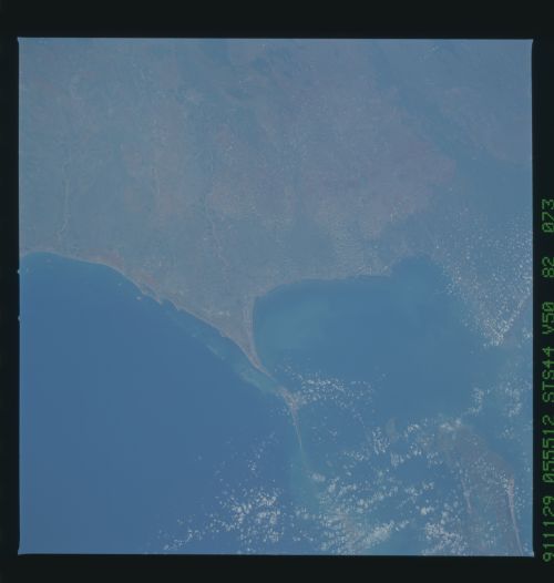
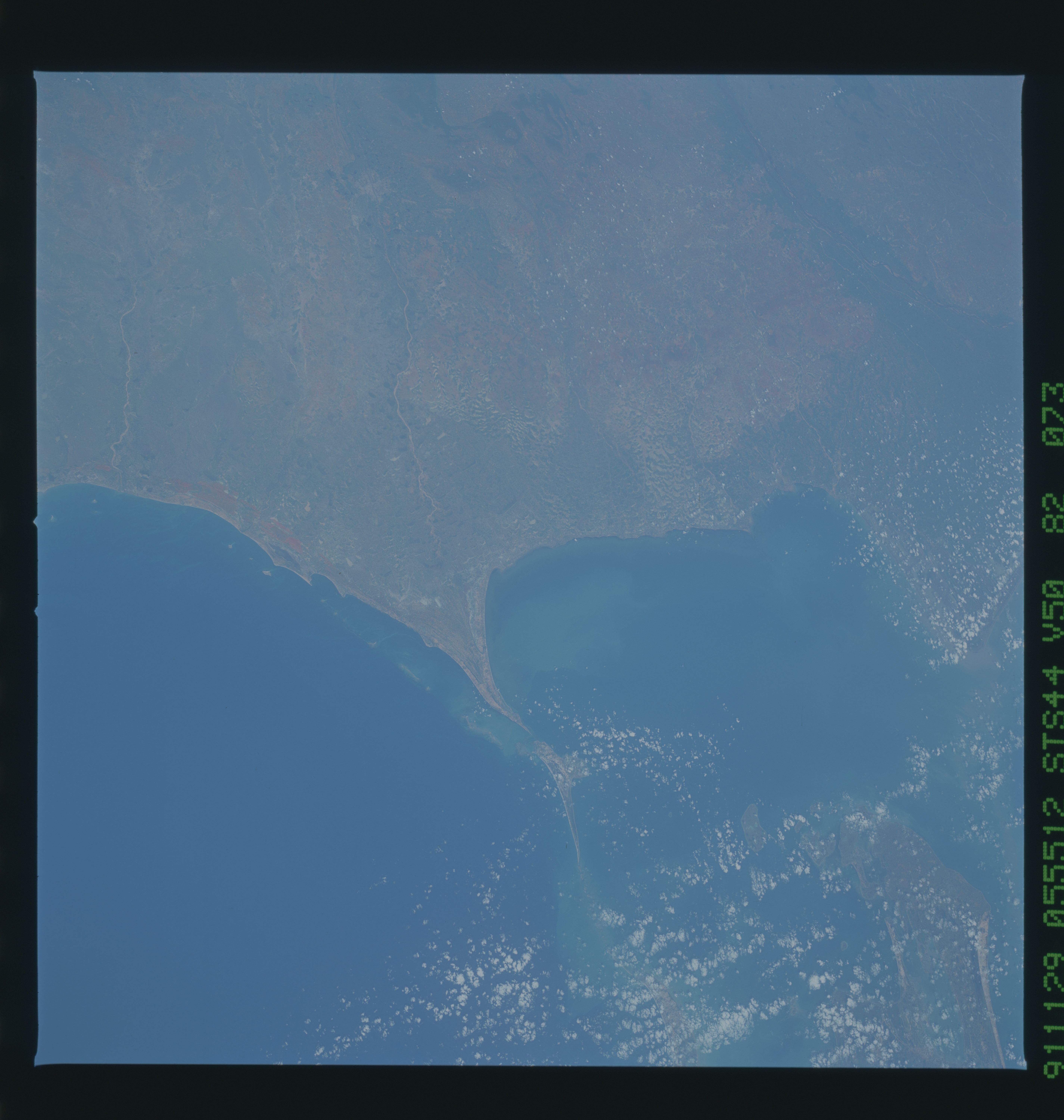
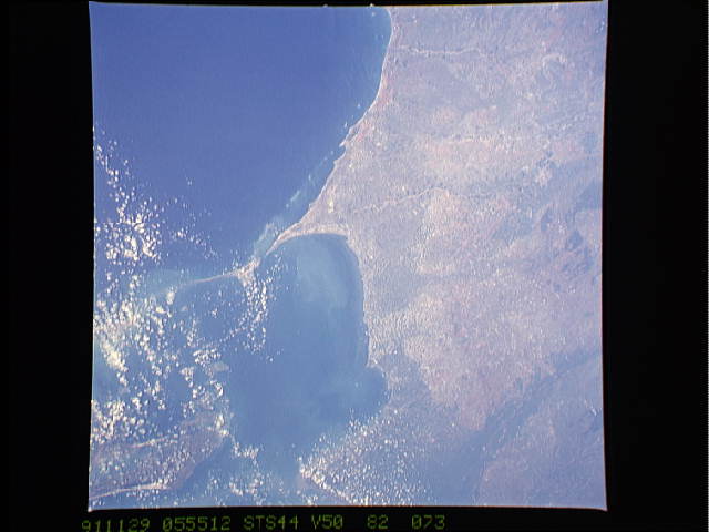
Image Caption: STS044-74-55, STS044-82-73, STS044-86-9 (CIR): TIP OF INDIA
These three slides show the tip of India (the state of Tamil Nadu) and the Gulf of Mannar between India and Sri Lanka. Land use patterns in this region are unique. In the view from air and space, these unique land use patterns present an intriguing landscape dotted with large and small water tanks and earthen dams used for rice cultivation. In the ancient mode of irrigation for the region,
depressions in the sandy soil materials and a dam called a bund is created. Early British geographers labeled this region as Southern Indian Tank Country. These tanks are filled by the heavy rains, and larger tanks remain filled even in dry weather.
