STS043-151-286
| NASA Photo ID | STS043-151-286 |
| Focal Length | 90mm |
| Date taken | 1991.08.10 |
| Time taken | 06:28:26 GMT |
Cloud masks available for this image:
Spacecraft nadir point: 21.6° S, 122.9° E
Photo center point: 22.0° S, 123.0° E
Photo center point by machine learning:
Photo center point: 22.0° S, 123.0° E
Photo center point by machine learning:
Nadir to Photo Center: South
Spacecraft Altitude: 165 nautical miles (306km)
Country or Geographic Name: | AUSTRALIA-WA |
Features: | GREAT SANDY DESERT, LAKE DORA |
| Features Found Using Machine Learning: | |
Cloud Cover Percentage: | 0 (no clouds present) |
Sun Elevation Angle: | 36° |
Sun Azimuth: | 311° |
Camera: | Linhof |
Focal Length: | 90mm |
Camera Tilt: | 8 degrees |
Format: | QX868: Kodak, natural color positive, Ektachrome QX868(5017 emulsion), ASA 64, thin base |
Film Exposure: | Normal |
| Additional Information | |
| Width | Height | Annotated | Cropped | Purpose | Links |
|---|---|---|---|---|---|
| 5024 pixels | 3936 pixels | No | No | Earth From Space collection | Download Image |
| 640 pixels | 501 pixels | No | No | Earth From Space collection | Download Image |
| 640 pixels | 480 pixels | No | No | ISD 1 | Download Image |
Download Packaged File
Download a Google Earth KML for this Image
View photo footprint information
Download a GeoTIFF for this photo
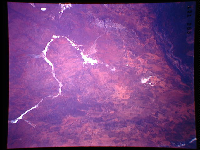
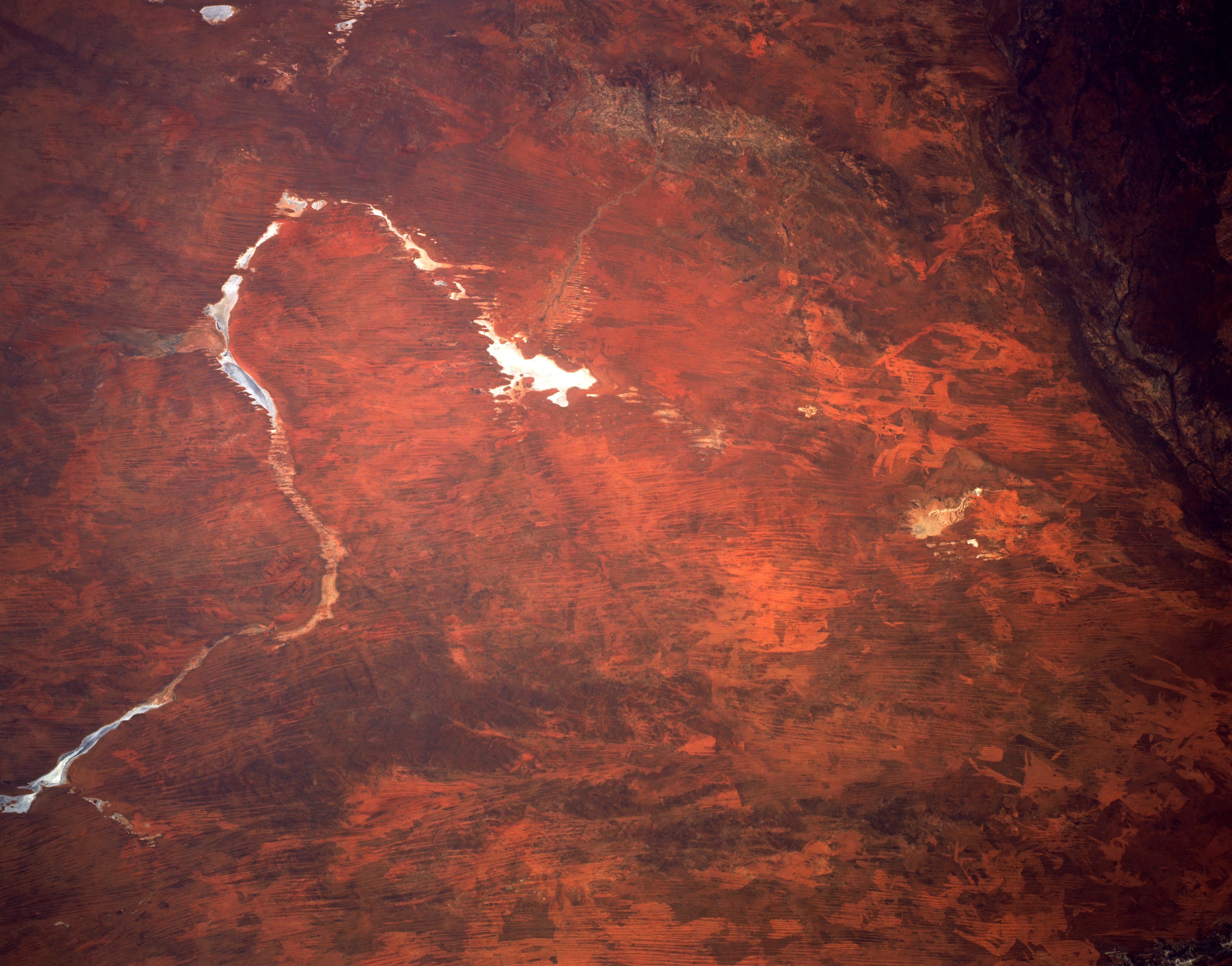
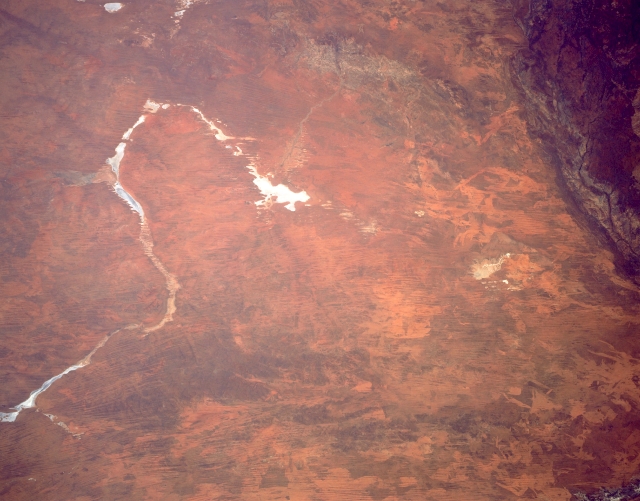
Image Caption: STS043-151-286 Great Sandy Desert, Western Australia August 1991
The southern margin of the Great Sandy Desert where it merges with the Gibson Desert (top of image) is captured in this synoptic southerly view. The horse shoe-shaped, lighter feature (left center) is actually a series of dry lake beds that include the western tip of the Percival Lakes, Lake Auld, Lake George, Lake Winifred, Lake Blanche and Lake Dora (the largest whitish-looking dry lake near the center of the image). Even Lake Wau Karlycarly, another dry lake, is barely visible northwest of Lake Dora. Sand ridges (thin, dark paralleling lines) and fire scars (creates unusual patterns, usually lighter in color over the landscape) are visible in this flat to hilly grassland desert in north central Western Australia. Part of the Oakover River system can be identified by the braided stream pattern in the darker upper right corner of the picture.
The southern margin of the Great Sandy Desert where it merges with the Gibson Desert (top of image) is captured in this synoptic southerly view. The horse shoe-shaped, lighter feature (left center) is actually a series of dry lake beds that include the western tip of the Percival Lakes, Lake Auld, Lake George, Lake Winifred, Lake Blanche and Lake Dora (the largest whitish-looking dry lake near the center of the image). Even Lake Wau Karlycarly, another dry lake, is barely visible northwest of Lake Dora. Sand ridges (thin, dark paralleling lines) and fire scars (creates unusual patterns, usually lighter in color over the landscape) are visible in this flat to hilly grassland desert in north central Western Australia. Part of the Oakover River system can be identified by the braided stream pattern in the darker upper right corner of the picture.
