STS042-77-22
| NASA Photo ID | STS042-77-22 |
| Focal Length | 250mm |
| Date taken | 1992.01.27 |
| Time taken | 00:45:04 GMT |
Cloud masks available for this image:
Spacecraft nadir point: 56.5° N, 170.6° W
Photo center point:
Photo center point by machine learning:
Photo center point:
Photo center point by machine learning:
Nadir to Photo Center:
Spacecraft Altitude: 160 nautical miles (296km)
Camera: | Hasselblad |
Focal Length: | 250mm |
Camera Tilt: | Low Oblique |
Format: | 5017: Kodak, natural color positive, Ektachrome, X Professional, ASA 64, standard base |
Film Exposure: | Normal |
| Additional Information | |
| Width | Height | Annotated | Cropped | Purpose | Links |
|---|---|---|---|---|---|
| 5700 pixels | 6000 pixels | No | No | Download Image | |
| 500 pixels | 526 pixels | No | No | Download Image | |
| 640 pixels | 480 pixels | No | No | Download Image |
Download Packaged File
Download a Google Earth KML for this Image
View photo footprint information
Download a GeoTIFF for this photo
Image Caption:
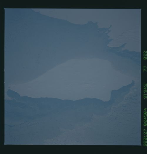
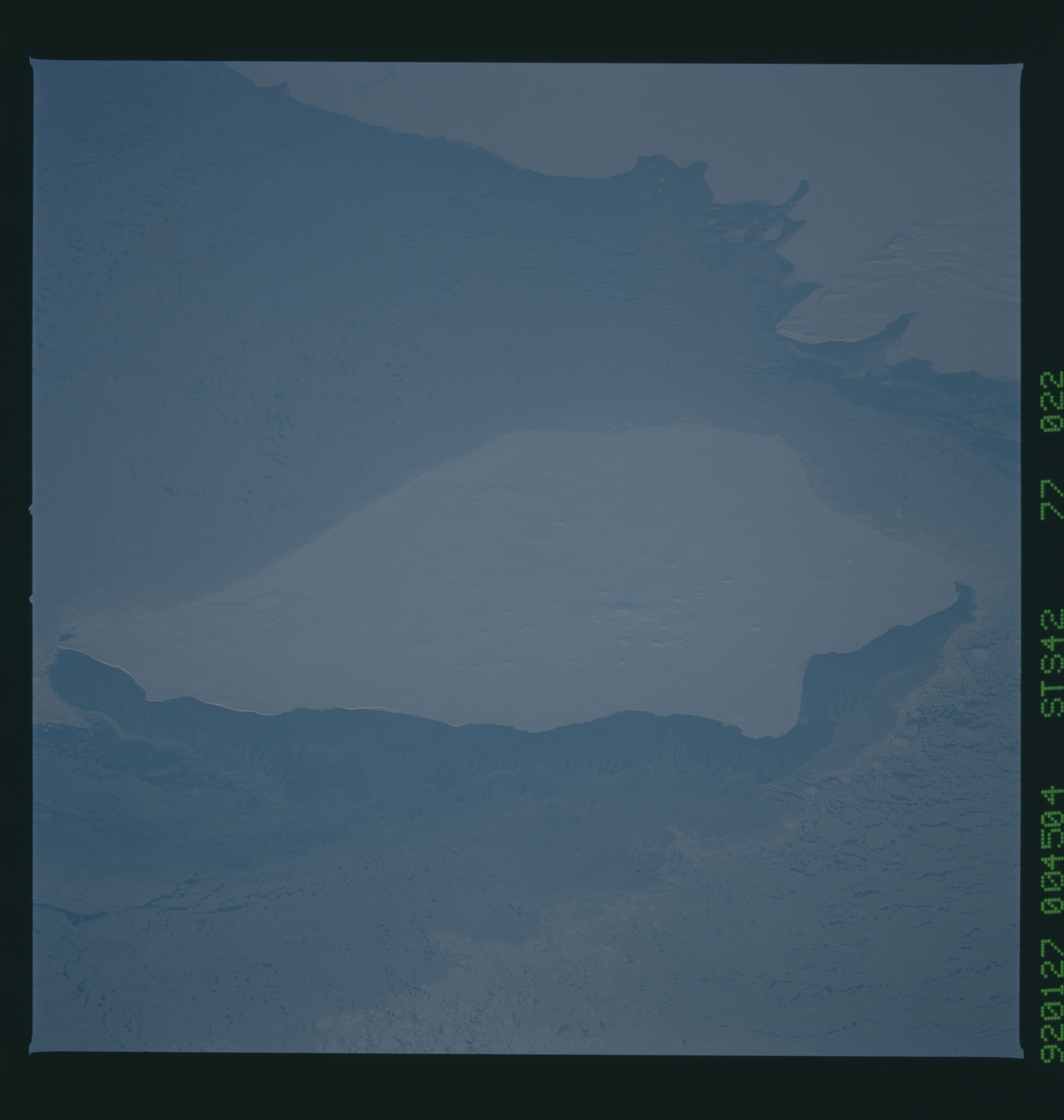
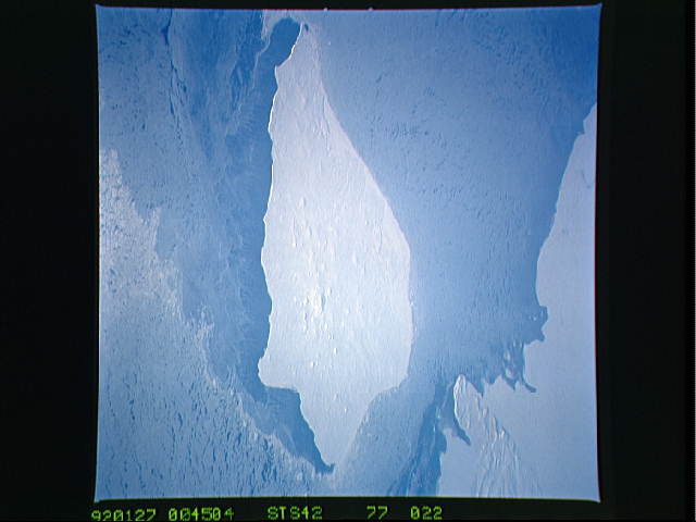
STS042-77-022 Nunivak Island, Alaska (60.0! N, 166.5! W)
This closeup view of Nunivak Island, Alaska, is similar
to STS42-82-033 except that it was taken 27JJanuary at 00:45 GMT,
3Jdays later, using an identical camera/lens/film combination.
Pack ice continues to be transported past the island, but the
direction of the wind, and the resulting ice drift, has changed
from easterly to northeasterly.
