STS041-86-91

| NASA Photo ID | STS041-86-91 |
| Focal Length | 250mm |
| Date taken | 1990.10.10 |
| Time taken | 06:18:16 GMT |
Resolutions offered for this image:
5283 x 5230 pixels 639 x 633 pixels 5614 x 6000 pixels 500 x 534 pixels 640 x 480 pixels
5283 x 5230 pixels 639 x 633 pixels 5614 x 6000 pixels 500 x 534 pixels 640 x 480 pixels
Cloud masks available for this image:
Spacecraft nadir point: 22.6° N, 12.3° E
Photo center point: 22.5° N, 12.5° E
Photo center point by machine learning:
Photo center point: 22.5° N, 12.5° E
Photo center point by machine learning:
Nadir to Photo Center: Southeast
Spacecraft Altitude: 162 nautical miles (300km)
Country or Geographic Name: | NIGER |
Features: | PLATEAU DU DJADO |
| Features Found Using Machine Learning: | |
Cloud Cover Percentage: | 0 (no clouds present) |
Sun Elevation Angle: | 15° |
Sun Azimuth: | 104° |
Camera: | Hasselblad |
Focal Length: | 250mm |
Camera Tilt: | 5 degrees |
Format: | 5017: Kodak, natural color positive, Ektachrome, X Professional, ASA 64, standard base |
Film Exposure: | Normal |
| Additional Information | |
| Width | Height | Annotated | Cropped | Purpose | Links |
|---|---|---|---|---|---|
| 5283 pixels | 5230 pixels | No | No | Earth From Space collection | Download Image |
| 639 pixels | 633 pixels | No | No | Earth From Space collection | Download Image |
| 5614 pixels | 6000 pixels | No | No | Download Image | |
| 500 pixels | 534 pixels | No | No | Download Image | |
| 640 pixels | 480 pixels | No | No | Download Image |
Download Packaged File
Download a Google Earth KML for this Image
View photo footprint information
Download a GeoTIFF for this photo
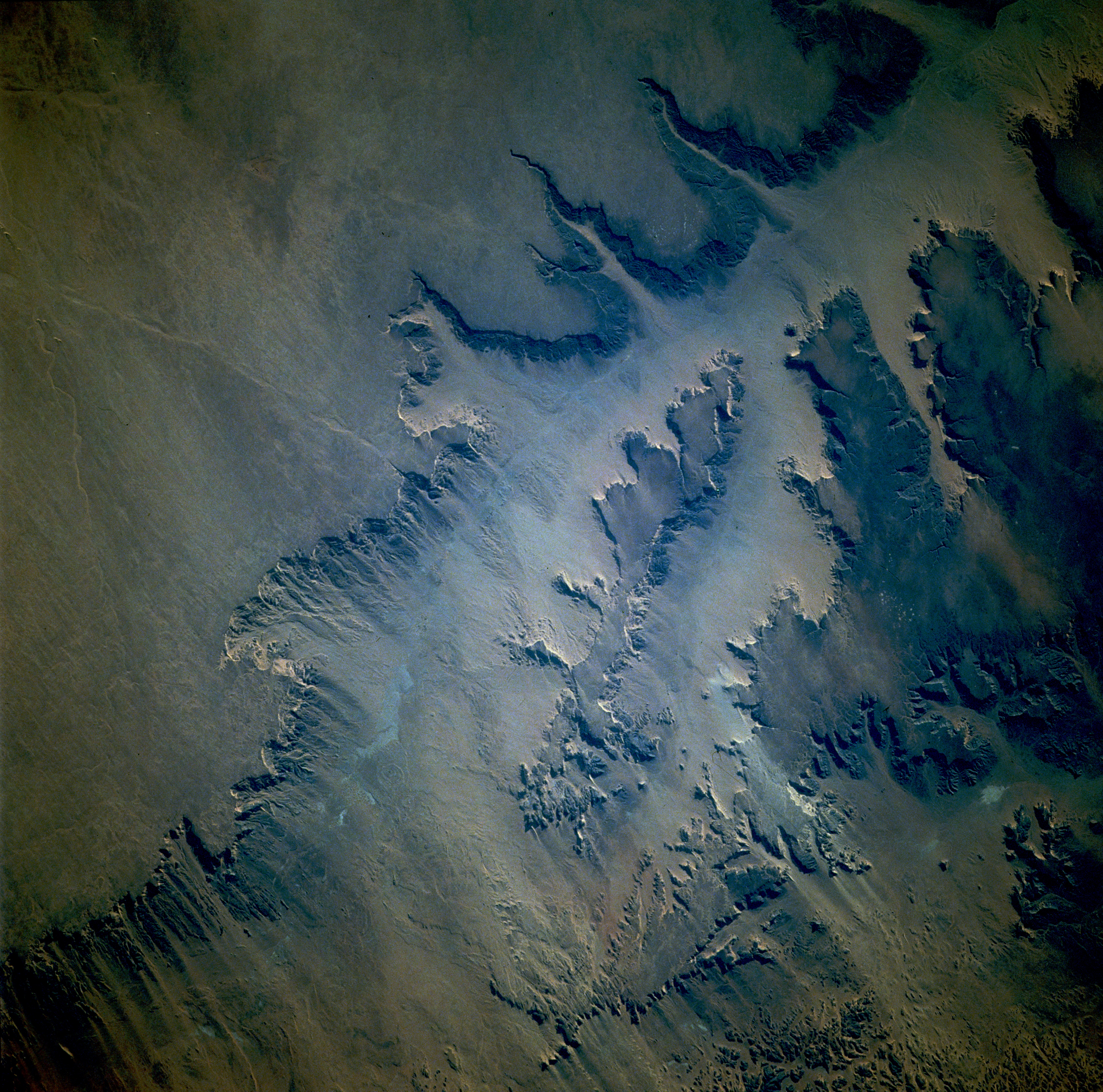
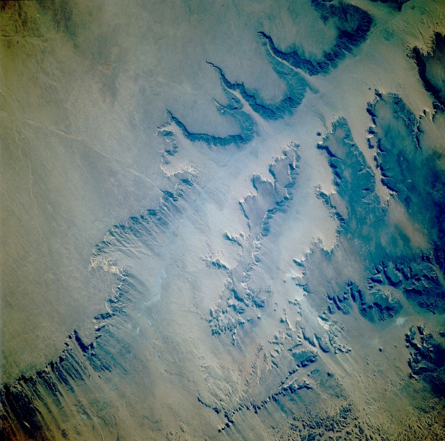
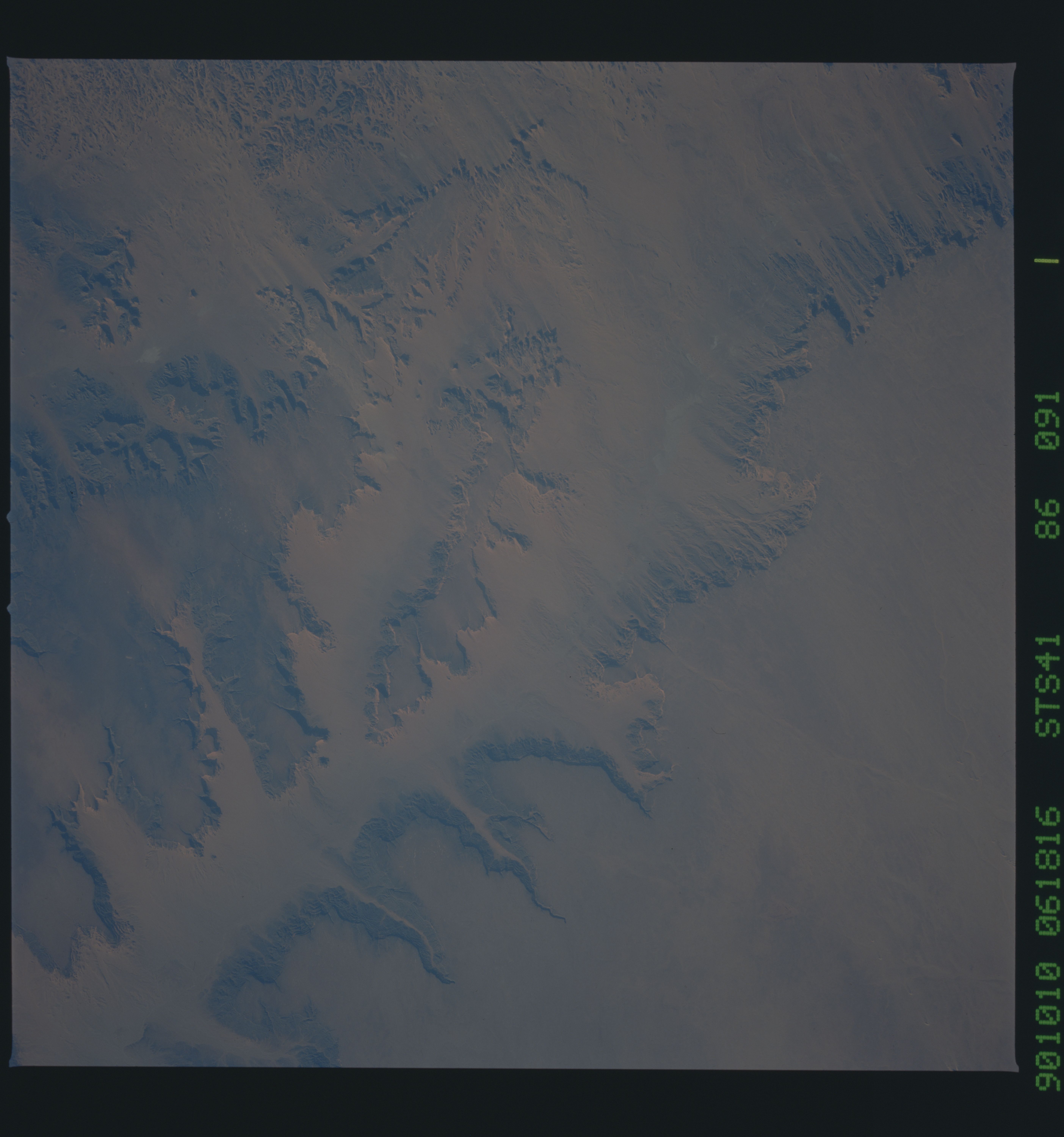
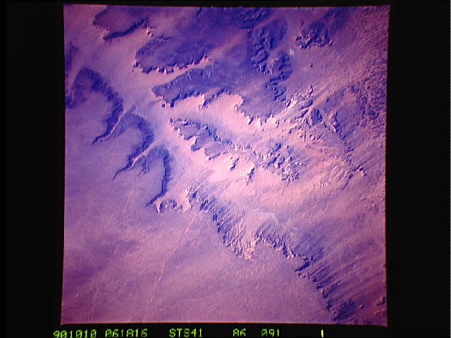
Image Caption: STS041-086-091 Plateaus of Northeast Niger October 1990
Two major plateaus of arid northeast Niger are impressive in this near-vertical photograph. The southern edge and escarpment of the Plateau du Mangeni are seen along the northern part of the photograph, while the northernmost edge of the Plateau du Djado is discernible near the southern part of the photograph. Although it is difficult to determine accurately elevation differences between the tops of the plateaus and the valley floors, a reasonable estimate is approximately 1000 feet (300 meters) in the more severe topographic relief areas. These plateaus present major obstacles to ground transportation through this part of the Sahara Desert. Barely visible is a trail (light blue line south of the Plateau du Mangeni) that follows the valley floor between the two plateaus in a general northwest-southeast orientation. The prevailing northeast wind creates visible wind streaks in a northeast-southwest alignment along the western half of the photograph, providing evidence of surface wind erosion of these plateaus.
Two major plateaus of arid northeast Niger are impressive in this near-vertical photograph. The southern edge and escarpment of the Plateau du Mangeni are seen along the northern part of the photograph, while the northernmost edge of the Plateau du Djado is discernible near the southern part of the photograph. Although it is difficult to determine accurately elevation differences between the tops of the plateaus and the valley floors, a reasonable estimate is approximately 1000 feet (300 meters) in the more severe topographic relief areas. These plateaus present major obstacles to ground transportation through this part of the Sahara Desert. Barely visible is a trail (light blue line south of the Plateau du Mangeni) that follows the valley floor between the two plateaus in a general northwest-southeast orientation. The prevailing northeast wind creates visible wind streaks in a northeast-southwest alignment along the western half of the photograph, providing evidence of surface wind erosion of these plateaus.
