STS041-85-67
| NASA Photo ID | STS041-85-67 |
| Focal Length | 250mm |
| Date taken | 1990.10.__ |
| Time taken | GMT |
Cloud masks available for this image:
Spacecraft nadir point:
Photo center point: 15.5° S, 46.5° E
Photo center point by machine learning:
Photo center point: 15.5° S, 46.5° E
Photo center point by machine learning:
Nadir to Photo Center:
Spacecraft Altitude: nautical miles (0km)
Country or Geographic Name: | MADAGASCAR |
Features: | BAIE DE BOMBETOKA |
| Features Found Using Machine Learning: | |
Cloud Cover Percentage: | 0 (no clouds present) |
Sun Elevation Angle: | ° |
Sun Azimuth: | ° |
Camera: | Hasselblad |
Focal Length: | 250mm |
Camera Tilt: | Low Oblique |
Format: | 5017: Kodak, natural color positive, Ektachrome, X Professional, ASA 64, standard base |
Film Exposure: | Normal |
| Additional Information | |
| Width | Height | Annotated | Cropped | Purpose | Links |
|---|---|---|---|---|---|
| 5614 pixels | 6000 pixels | No | No | Download Image | |
| 500 pixels | 534 pixels | No | No | Download Image | |
| 640 pixels | 480 pixels | No | No | Download Image |
Download Packaged File
Download a Google Earth KML for this Image
View photo footprint information
Download a GeoTIFF for this photo
Image Caption:
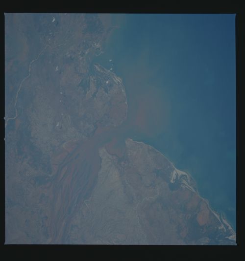
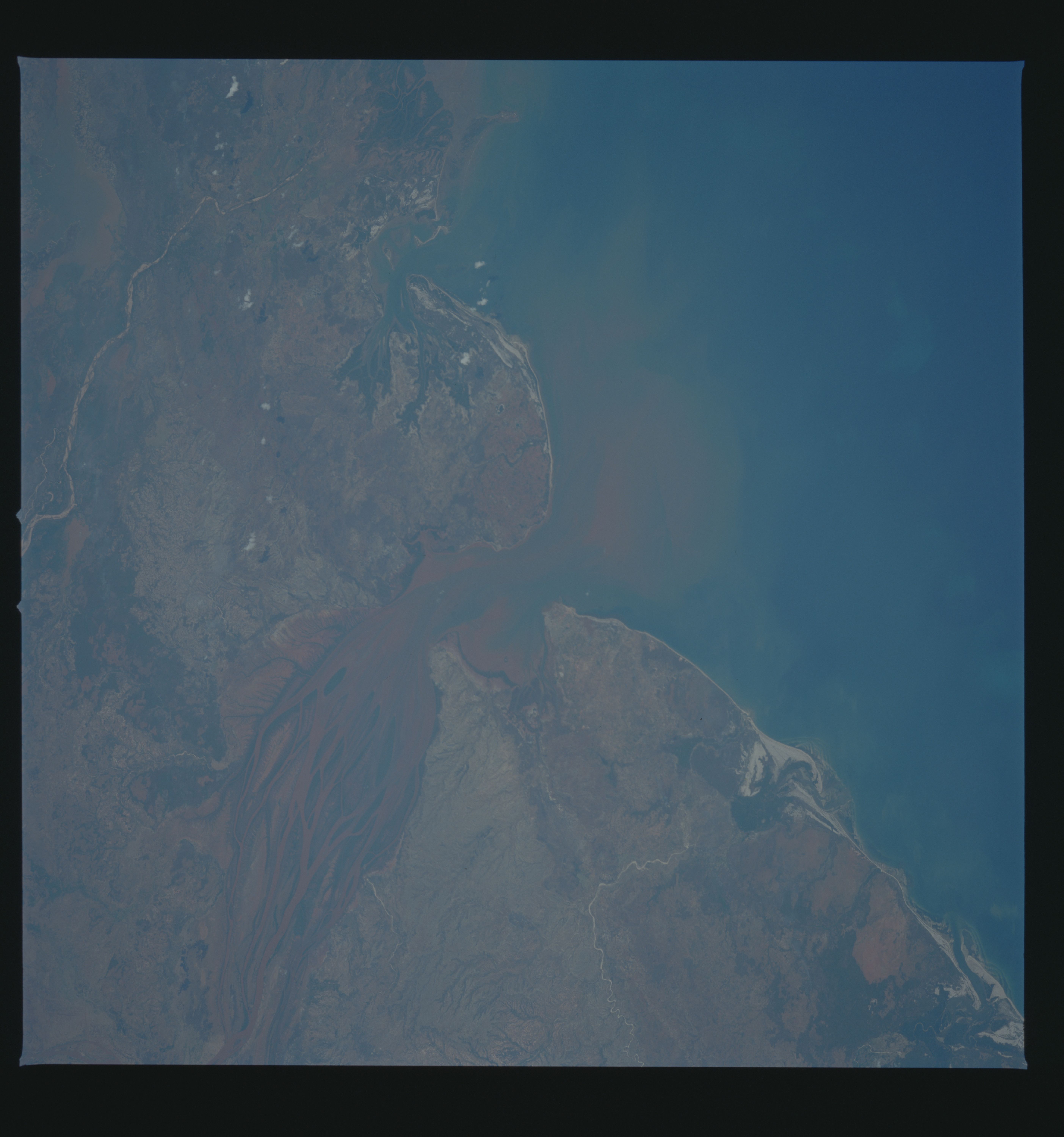
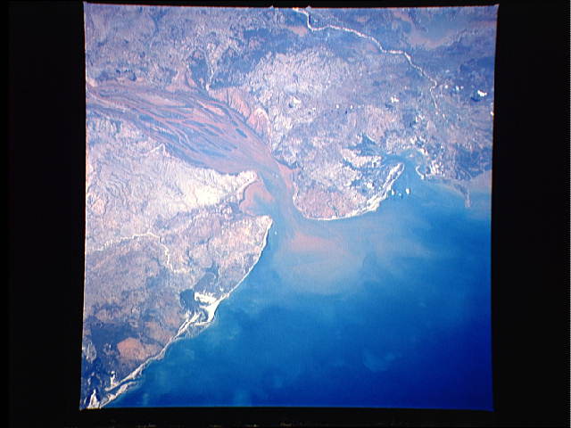
The Betsiboka Estuary
The sediment plume from the Betsiboka Estuary reaches out into
the Mozambique Channel in this low oblique, south-looking view
taken in October 1990. The mud islands within the estuary con-
tinue to grow and new islands are being formed. Scientists con-
tinue to monitor the excessive soil erosion occuring throughout
the Betsiboka River Basin. (S41-85-067)
