STS041-152-278
| NASA Photo ID | STS041-152-278 |
| Focal Length | 250mm |
| Date taken | 1990.10.09 |
| Time taken | 13:48:08 GMT |
Resolutions offered for this image:
768 x 768 pixels 540 x 431 pixels 640 x 480 pixels 346 x 439 pixels 862 x 691 pixels
768 x 768 pixels 540 x 431 pixels 640 x 480 pixels 346 x 439 pixels 862 x 691 pixels

Cloud masks available for this image:
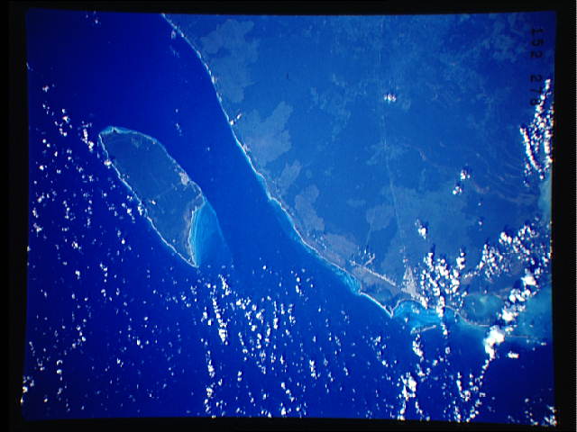
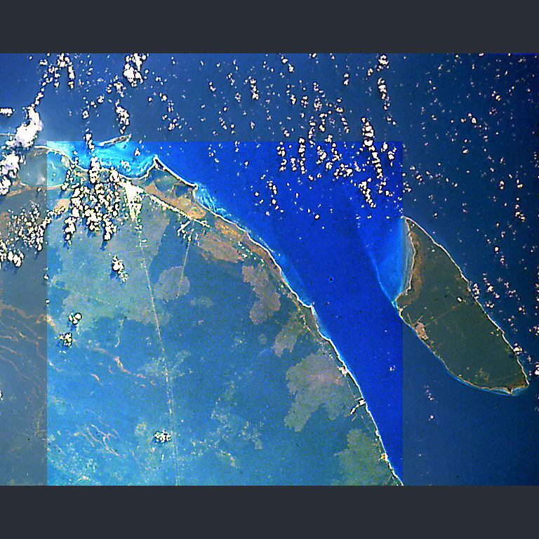
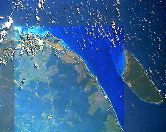
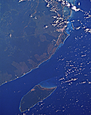
Spacecraft nadir point: 20.2° N, 86.8° W
Photo center point: 20.5° N, 87.0° W
Photo center point by machine learning:
Photo center point: 20.5° N, 87.0° W
Photo center point by machine learning:
Nadir to Photo Center: Northwest
Spacecraft Altitude: 162 nautical miles (300km)
Camera: | Linhof |
Focal Length: | 250mm |
Camera Tilt: | 8 degrees |
Format: | QX868: Kodak, natural color positive, Ektachrome QX868(5017 emulsion), ASA 64, thin base |
Film Exposure: | Normal |
| Additional Information | |
| Width | Height | Annotated | Cropped | Purpose | Links |
|---|---|---|---|---|---|
| 768 pixels | 768 pixels | Photographic Highlights | Download Image | ||
| 540 pixels | 431 pixels | Photographic Highlights | Download Image | ||
| 640 pixels | 480 pixels | No | No | ISD 1 | Download Image |
| 346 pixels | 439 pixels | Download Image | |||
| 862 pixels | 691 pixels | Download Image |
Download Packaged File
Download a Google Earth KML for this Image
View photo footprint information
Download a GeoTIFF for this photo
Image Caption: none
