STS040-78-91
| NASA Photo ID | STS040-78-91 |
| Focal Length | 50mm |
| Date taken | 1991.06.11 |
| Time taken | 09:34:17 GMT |
Resolutions offered for this image:
3956 x 3947 pixels 640 x 638 pixels 5700 x 6000 pixels 500 x 526 pixels 640 x 480 pixels
3956 x 3947 pixels 640 x 638 pixels 5700 x 6000 pixels 500 x 526 pixels 640 x 480 pixels

Cloud masks available for this image:
Spacecraft nadir point: 23.7° N, 38.9° E
Photo center point: 27.5° N, 38.0° E
Photo center point by machine learning:
Photo center point: 27.5° N, 38.0° E
Photo center point by machine learning:
Nadir to Photo Center: North
Spacecraft Altitude: 154 nautical miles (285km)
Country or Geographic Name: | SAUDI ARABIA |
Features: | RED SEA-PAN TO NORTHEAST |
| Features Found Using Machine Learning: | |
Cloud Cover Percentage: | 5 (1-10)% |
Sun Elevation Angle: | 87° |
Sun Azimuth: | 257° |
Camera: | Hasselblad |
Focal Length: | 50mm |
Camera Tilt: | High Oblique |
Format: | 5017: Kodak, natural color positive, Ektachrome, X Professional, ASA 64, standard base |
Film Exposure: | Normal |
| Additional Information | |
| Width | Height | Annotated | Cropped | Purpose | Links |
|---|---|---|---|---|---|
| 3956 pixels | 3947 pixels | No | No | Earth From Space collection | Download Image |
| 640 pixels | 638 pixels | No | No | Earth From Space collection | Download Image |
| 5700 pixels | 6000 pixels | No | No | Download Image | |
| 500 pixels | 526 pixels | No | No | Download Image | |
| 640 pixels | 480 pixels | No | No | Download Image |
Download Packaged File
Download a Google Earth KML for this Image
View photo footprint information
Download a GeoTIFF for this photo
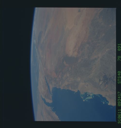
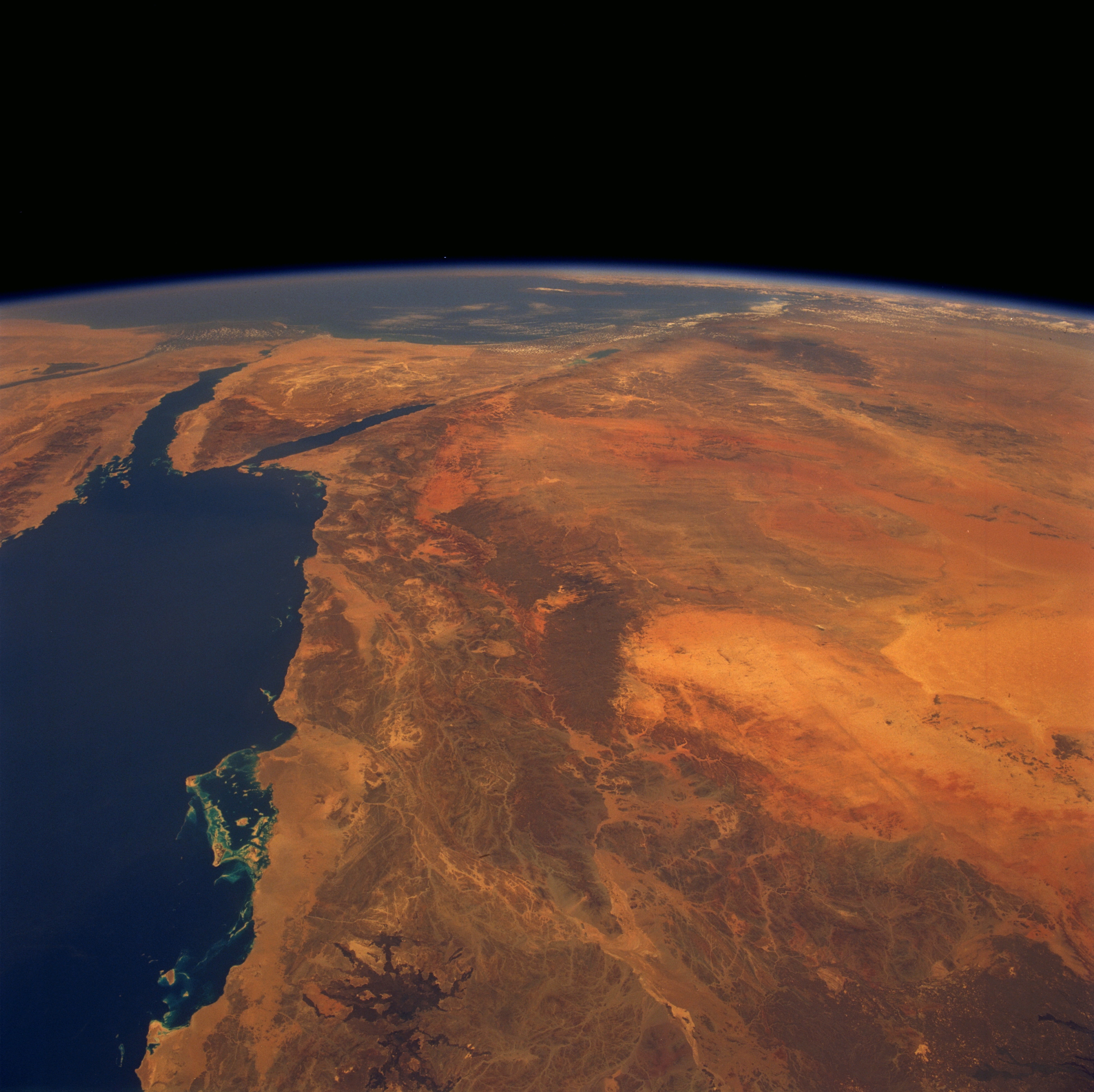
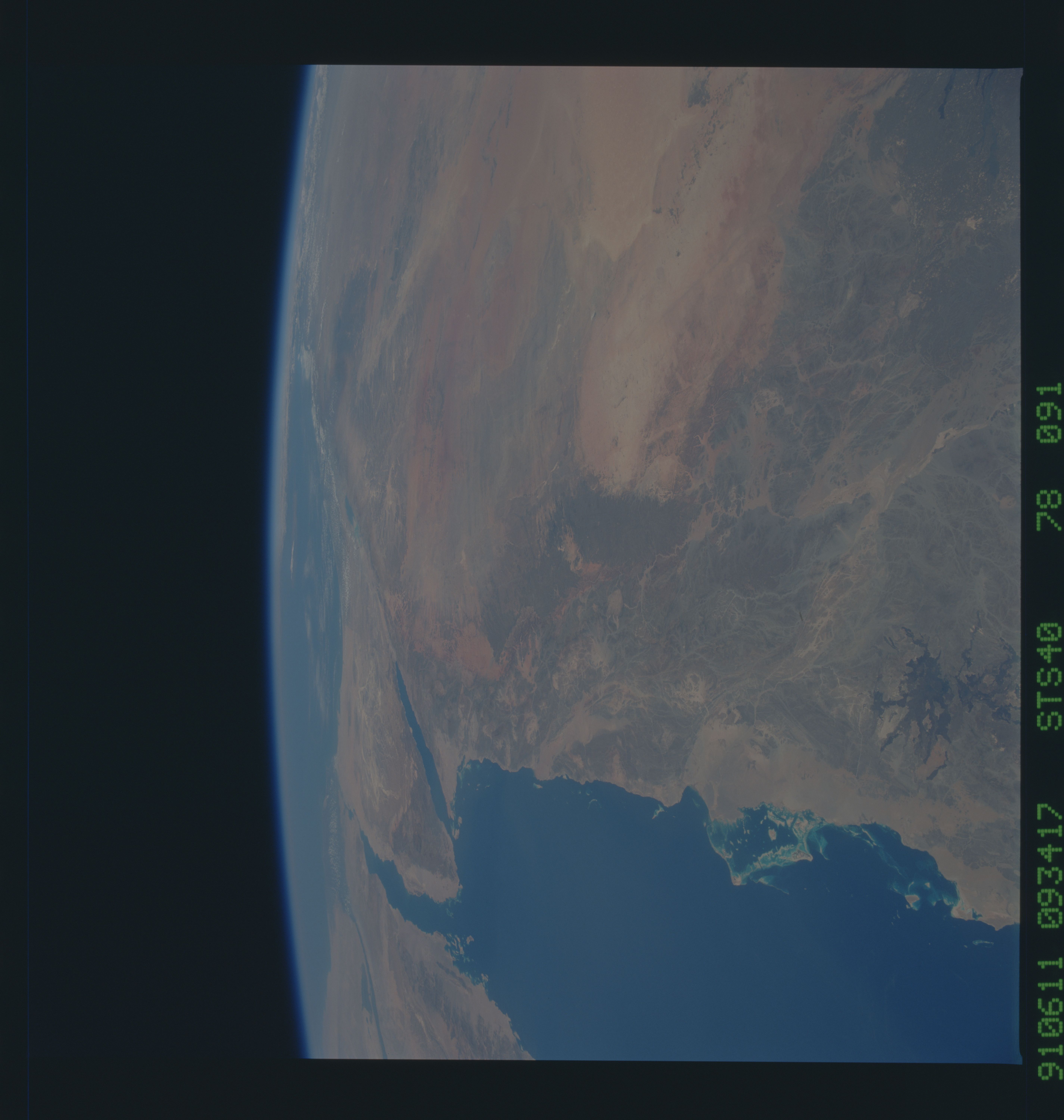
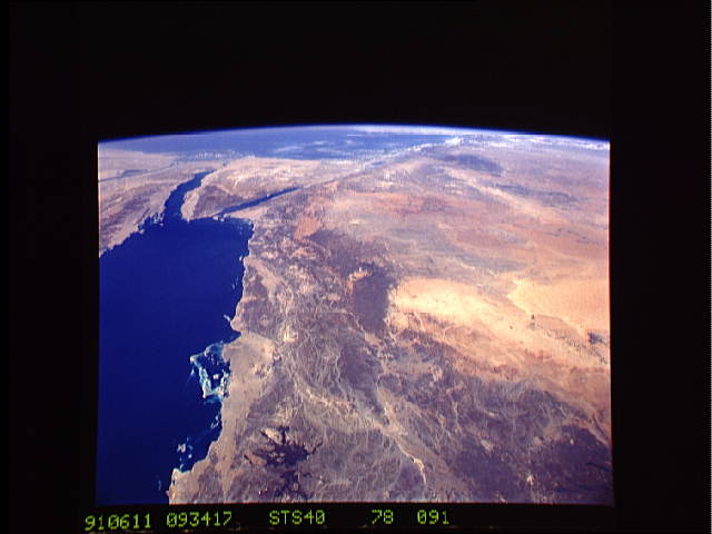
Image Caption: STS040-078-091 Hijaz Mountains and Nafud Desert, Saudi Arabia June 1991
The dissected Hijaz Mountains and the northwestern portion the Nafud Desert of Saudi Arabia are visible in this high-oblique, northwest-looking photograph. The barren Hijaz were formed by the uplifting of the eastern flank of the Great Rift Valley that runs through the basin of the Red Sea (west of the range). The narrow coastal plain between the mountains and the sea is extremely desolate. East of the mountains are the orange sands of the Nafud Desert, known for its sudden violent winds that have formed many great crescent-shaped dunes (barely discernible near the north center of the photograph). The desert, occupying a great oval depression, is surrounded by sandstone outcrops that have been eroded into grotesque shapes by these strong winds. Rainfall occurs once or twice yearly in the region. Near the south and southeastern portions of the photograph, dark lava flows from ancient volcanoes stand out. Near the horizon are the Gulf of Suez, the Sinai Peninsula, the Gulf of Aqaba, the eastern Mediterranean Sea, and the western half of the Syrian Desert.
The dissected Hijaz Mountains and the northwestern portion the Nafud Desert of Saudi Arabia are visible in this high-oblique, northwest-looking photograph. The barren Hijaz were formed by the uplifting of the eastern flank of the Great Rift Valley that runs through the basin of the Red Sea (west of the range). The narrow coastal plain between the mountains and the sea is extremely desolate. East of the mountains are the orange sands of the Nafud Desert, known for its sudden violent winds that have formed many great crescent-shaped dunes (barely discernible near the north center of the photograph). The desert, occupying a great oval depression, is surrounded by sandstone outcrops that have been eroded into grotesque shapes by these strong winds. Rainfall occurs once or twice yearly in the region. Near the south and southeastern portions of the photograph, dark lava flows from ancient volcanoes stand out. Near the horizon are the Gulf of Suez, the Sinai Peninsula, the Gulf of Aqaba, the eastern Mediterranean Sea, and the western half of the Syrian Desert.
