STS040-78-64

| NASA Photo ID | STS040-78-64 |
| Focal Length | 50mm |
| Date taken | 1991.06.10 |
| Time taken | 23:05:10 GMT |
Cloud masks available for this image:
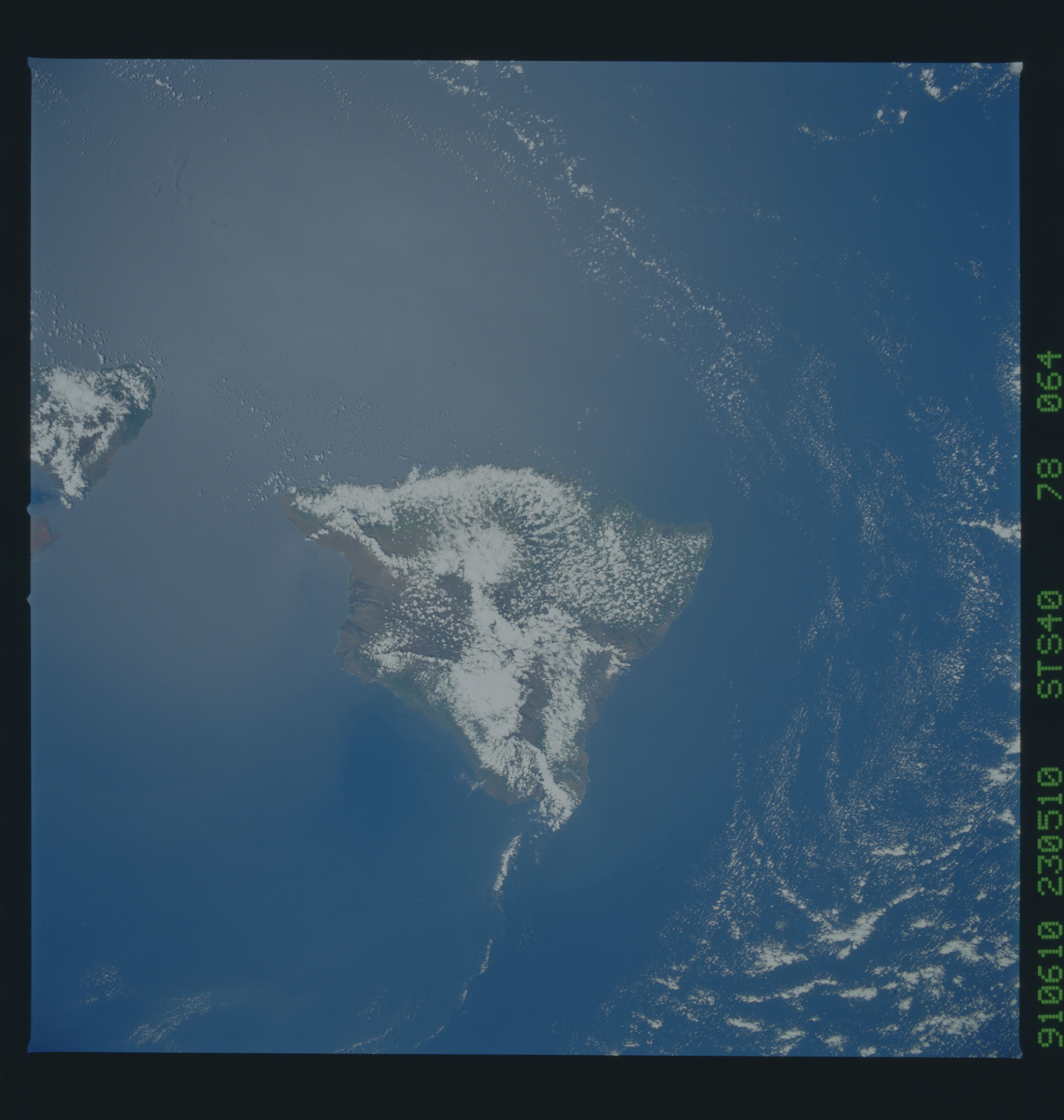
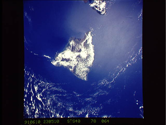
Spacecraft nadir point: 20.4° N, 154.9° W
Photo center point: 20.0° N, 155.5° W
Photo center point by machine learning:
Photo center point: 20.0° N, 155.5° W
Photo center point by machine learning:
Nadir to Photo Center: Southwest
Spacecraft Altitude: 154 nautical miles (285km)
Country or Geographic Name: | USA-HAWAII |
Features: | HAWAII, CLOUD COVERED |
| Features Found Using Machine Learning: | |
Cloud Cover Percentage: | 35 (26-50)% |
Sun Elevation Angle: | 78° |
Sun Azimuth: | 286° |
Camera: | Hasselblad |
Focal Length: | 50mm |
Camera Tilt: | 16 degrees |
Format: | 5017: Kodak, natural color positive, Ektachrome, X Professional, ASA 64, standard base |
Film Exposure: | Normal |
| Additional Information | |
| Width | Height | Annotated | Cropped | Purpose | Links |
|---|---|---|---|---|---|
| 5700 pixels | 6000 pixels | No | No | Download Image | |
| 500 pixels | 526 pixels | No | No | Download Image | |
| 640 pixels | 480 pixels | No | No | Download Image |
Download Packaged File
Download a Google Earth KML for this Image
View photo footprint information
Download a GeoTIFF for this photo
Image Caption: STS040-78-64: Cloud-covered Hawaii, wide field of view.
Although the active vents on the east rift of Kilauea are obscured by clouds, the coastline is visible. The area along the SE coast with slightly greater wave actions is in about the right location for the newly formed sea cliffs, which are up to 10 meters high.
Although the active vents on the east rift of Kilauea are obscured by clouds, the coastline is visible. The area along the SE coast with slightly greater wave actions is in about the right location for the newly formed sea cliffs, which are up to 10 meters high.
