STS040-77-45

| NASA Photo ID | STS040-77-45 |
| Focal Length | 50mm |
| Date taken | 1991.06.06 |
| Time taken | 16:42:35 GMT |
Cloud masks available for this image:
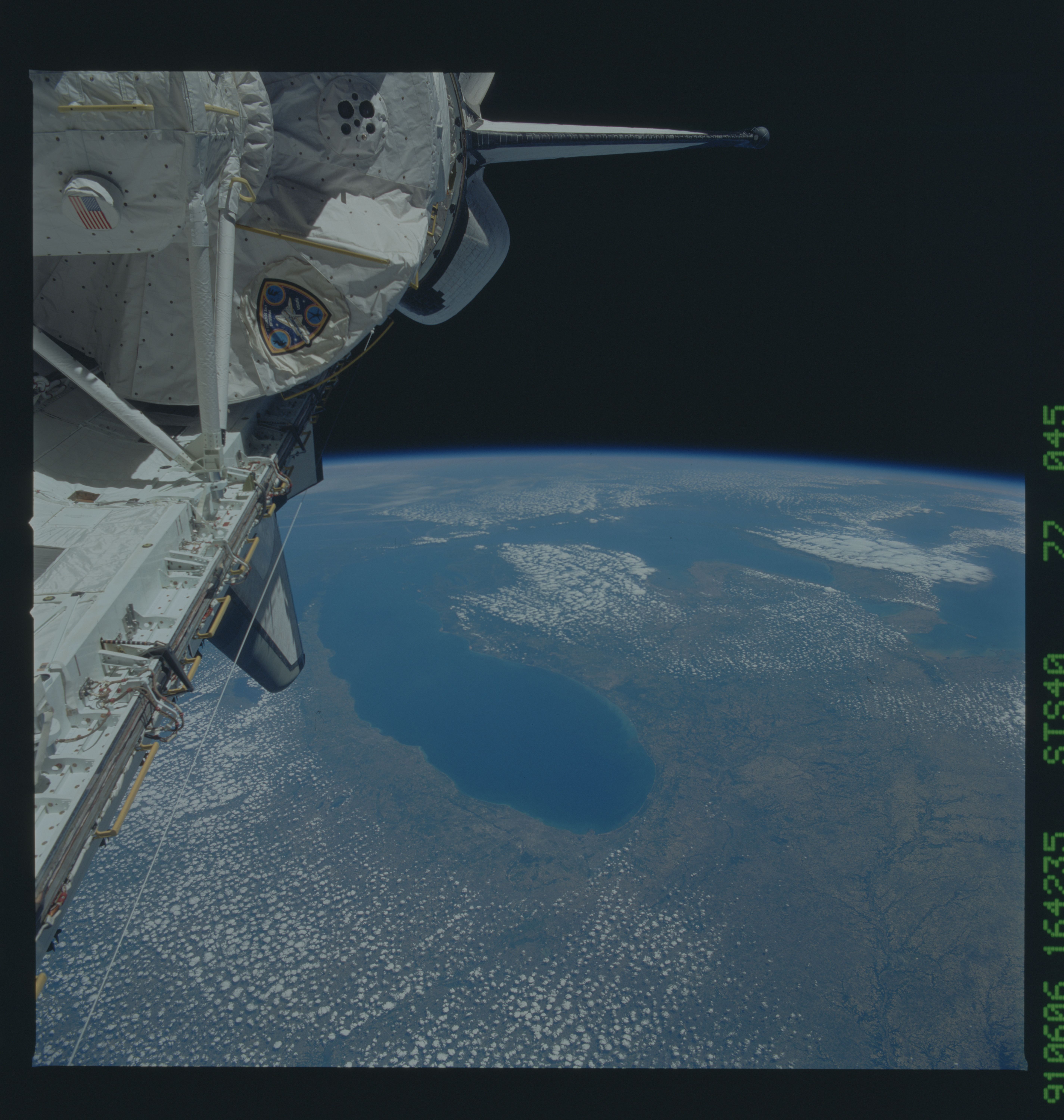
Spacecraft nadir point: 39.1° N, 90.1° W
Photo center point: 45.0° N, 84.0° W
Photo center point by machine learning:
Photo center point: 45.0° N, 84.0° W
Photo center point by machine learning:
Nadir to Photo Center: Northeast
Spacecraft Altitude: 156 nautical miles (289km)
Country or Geographic Name: | USA-MICHIGAN |
Features: | L. MICHIGAN, HURON-S TAIL |
| Features Found Using Machine Learning: | |
Cloud Cover Percentage: | 60 (51-75)% |
Sun Elevation Angle: | 66° |
Sun Azimuth: | 129° |
Camera: | Hasselblad |
Focal Length: | 50mm |
Camera Tilt: | High Oblique |
Format: | 5017: Kodak, natural color positive, Ektachrome, X Professional, ASA 64, standard base |
Film Exposure: | Normal |
| Additional Information | |
| Width | Height | Annotated | Cropped | Purpose | Links |
|---|---|---|---|---|---|
| 5700 pixels | 6000 pixels | No | No | Download Image | |
| 500 pixels | 526 pixels | No | No | Download Image | |
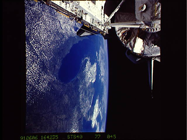
| 640 pixels | 480 pixels | No | No | Download Image |
Download Packaged File
Download a Google Earth KML for this Image
View photo footprint information
Download a GeoTIFF for this photo
Image Caption: Most of the Great Lakes Region (45.0N, 84.0W) appears in this single photo as well as part of COLUMBIA's payload bay and spacelab module. In the center, Lake Michigan and Chicago are clearly visible. The absence of clouds over the lakes is because of different temperatures between the landmass and the lakes. The warming land surface causes air to rise and form clouds while the cold lake water retards cloud growth and remain cloud free.
