STS040-74-54

| NASA Photo ID | STS040-74-54 |
| Focal Length | 250mm |
| Date taken | 1991.06.12 |
| Time taken | 16:59:31 GMT |

Cloud masks available for this image:
Spacecraft nadir point: 34.2° N, 106.4° W
Photo center point: 31.5° N, 103.5° W
Photo center point by machine learning:
Photo center point: 31.5° N, 103.5° W
Photo center point by machine learning:
Nadir to Photo Center: Southeast
Spacecraft Altitude: 151 nautical miles (280km)
Camera: | Hasselblad |
Focal Length: | 250mm |
Camera Tilt: | Low Oblique |
Format: | 5017: Kodak, natural color positive, Ektachrome, X Professional, ASA 64, standard base |
Film Exposure: | Normal |
| Additional Information | |
| Width | Height | Annotated | Cropped | Purpose | Links |
|---|---|---|---|---|---|
| 5700 pixels | 6000 pixels | No | No | Download Image | |
| 500 pixels | 526 pixels | No | No | Download Image | |
| 640 pixels | 480 pixels | No | No | Download Image |
Download Packaged File
Download a Google Earth KML for this Image
View photo footprint information
Download a GeoTIFF for this photo
Image Caption:
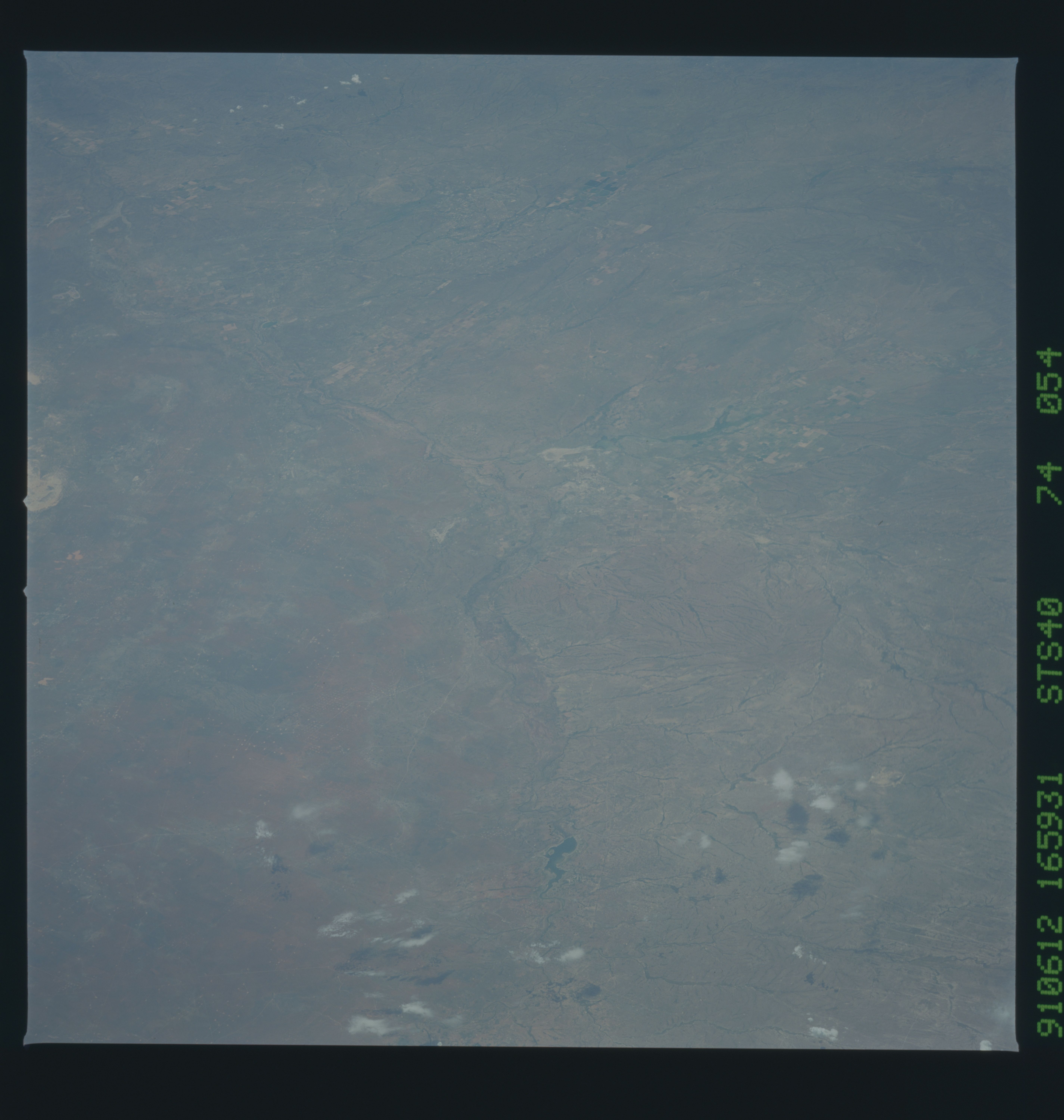
STS040-74-054 & STS040-74-056 Pecos Valley, mostly in Texas,
viewed to the south. This small-scale set is the first since
Gemini to show the whole region. It will be useful in land-use
studies and in illustrating the landforms of the Pecos Valley and
southern Great Plains.
STS040-74-054 & STS040-74-056 Pecos Valley, mostly in Texas,
viewed to the south. This small-scale set is the first since
Gemini to show the whole region. It will be useful in land-use
studies and in illustrating the landforms of the Pecos Valley and
southern Great Plains.
